


Yuba North (C-27259)
What are trust lands?
Trust lands are parcels of land granted by Congress to Utah at statehood to support specific beneficiaries, including public schools, universities, hospitals, and reservoirs. Trust lands are not public lands, but are generally open for public use, when possible. Trust lands were allocated specifically to generate revenue to support our beneficiaries. SITLA currently manages 3.3 million surface acres on behalf of our beneficiaries.
ONLINE BIDDING INFORMATION:
To register as a bidder or to place a bid, please see box to the right.
Bid Start Time for this Parcel: November 13, 2025 @ 11:40am MST
Bid End Time for this Parcel: November 18, 2025 @ 11:40am MST
CLOSING COSTS:
The closing costs are expenses incurred to prepare the property for sale. A large portion of the costs is for the completion of a cultural resource survey, which is required by law.
These costs are in addition to the 10% down payment. All closing costs are due from the winning bidder within 24 hours after completion of the auction and cannot be financed.
TOTAL CLOSING COSTS FOR THIS PARCEL: $8,468.00
Beneficiary:
The net proceeds from the sale of this property will be deposited into the permanent fund for the beneficiary of Public Schools.
Legal Description:
Township 17 South, Range 1 West, SLB&M
Section 16: N½
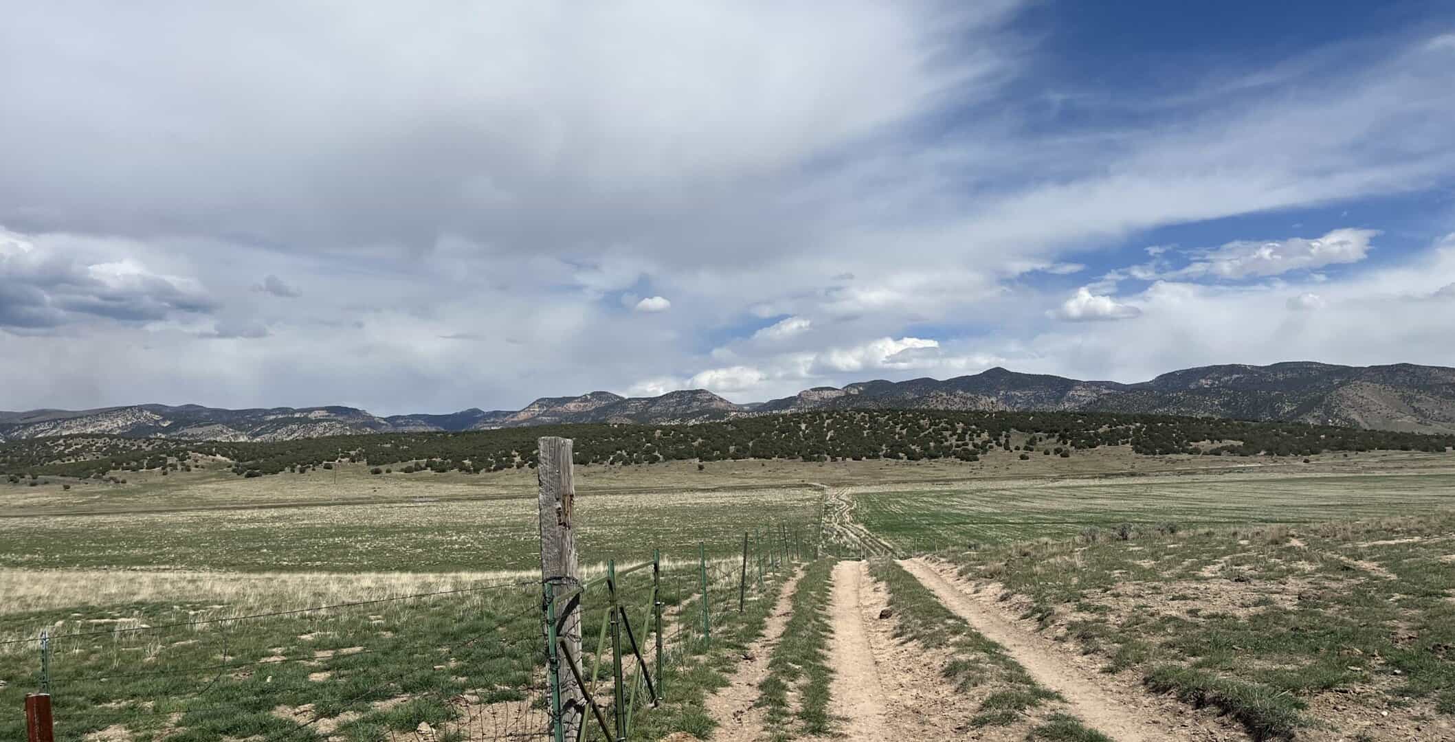
Location:
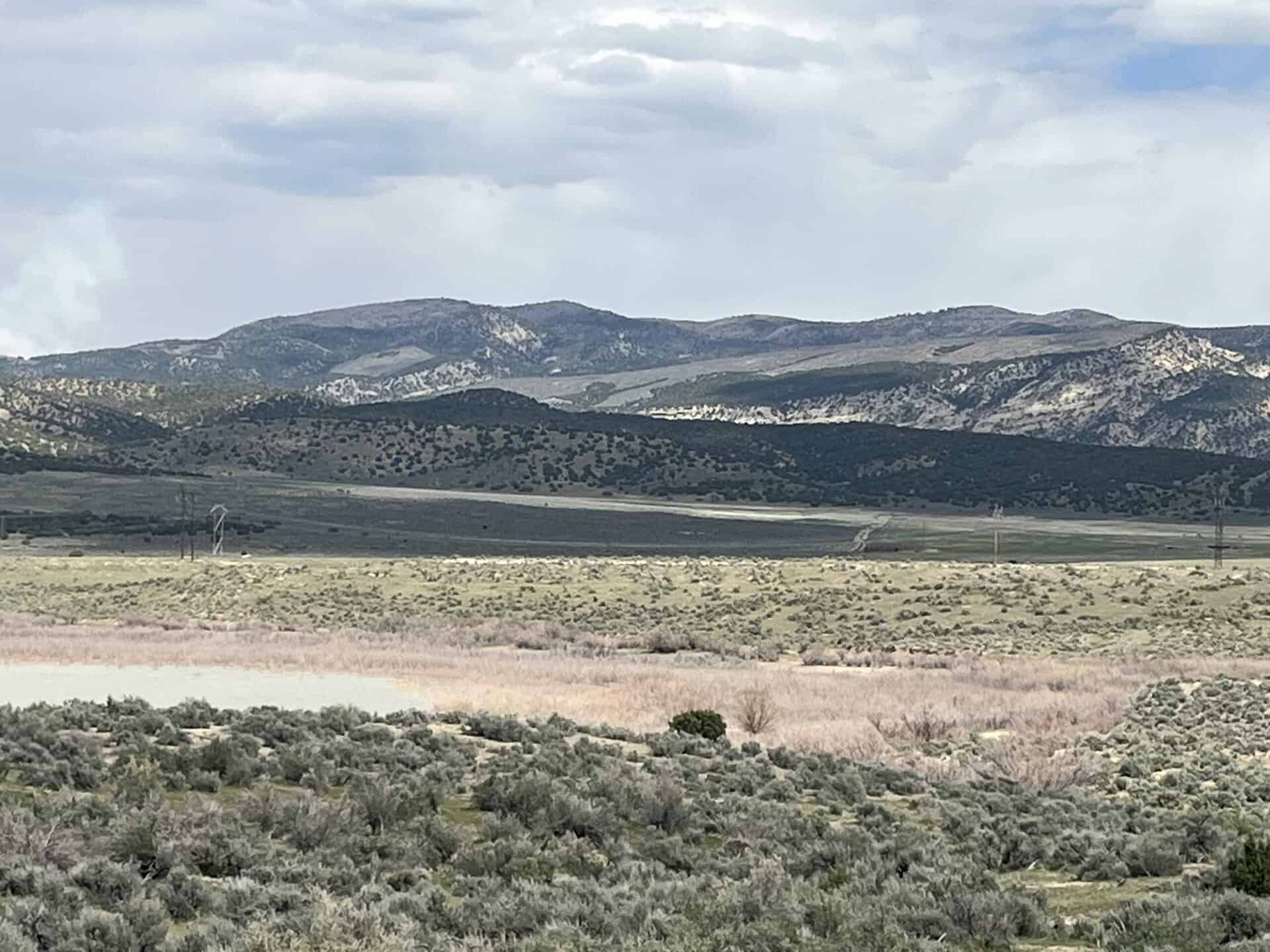
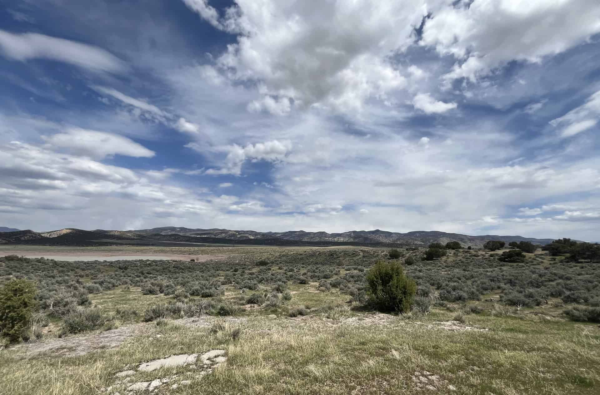
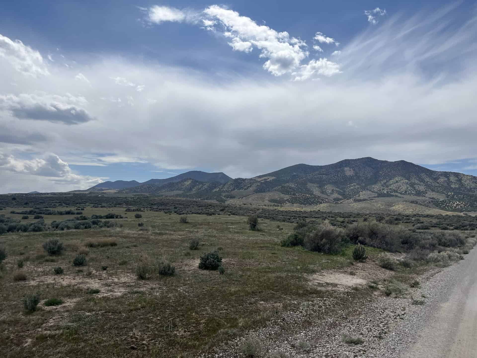
The property is located 15 miles south of Levan, 10 miles north of Fayette, 15 miles north of Gunnison, and about 100 miles south of Salt Lake City. Yuba Reservoir is on the north and west sides of the parcel.
GPS Coordinates (to the center of the property):
-111.92969173, 39.33372233 or 111° 55′ 46.89″ W, 39° 20′ 1.4″ N
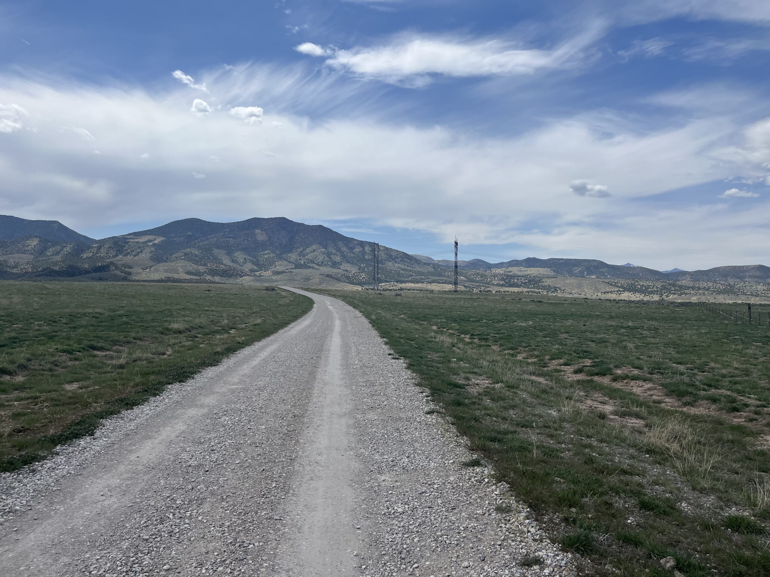
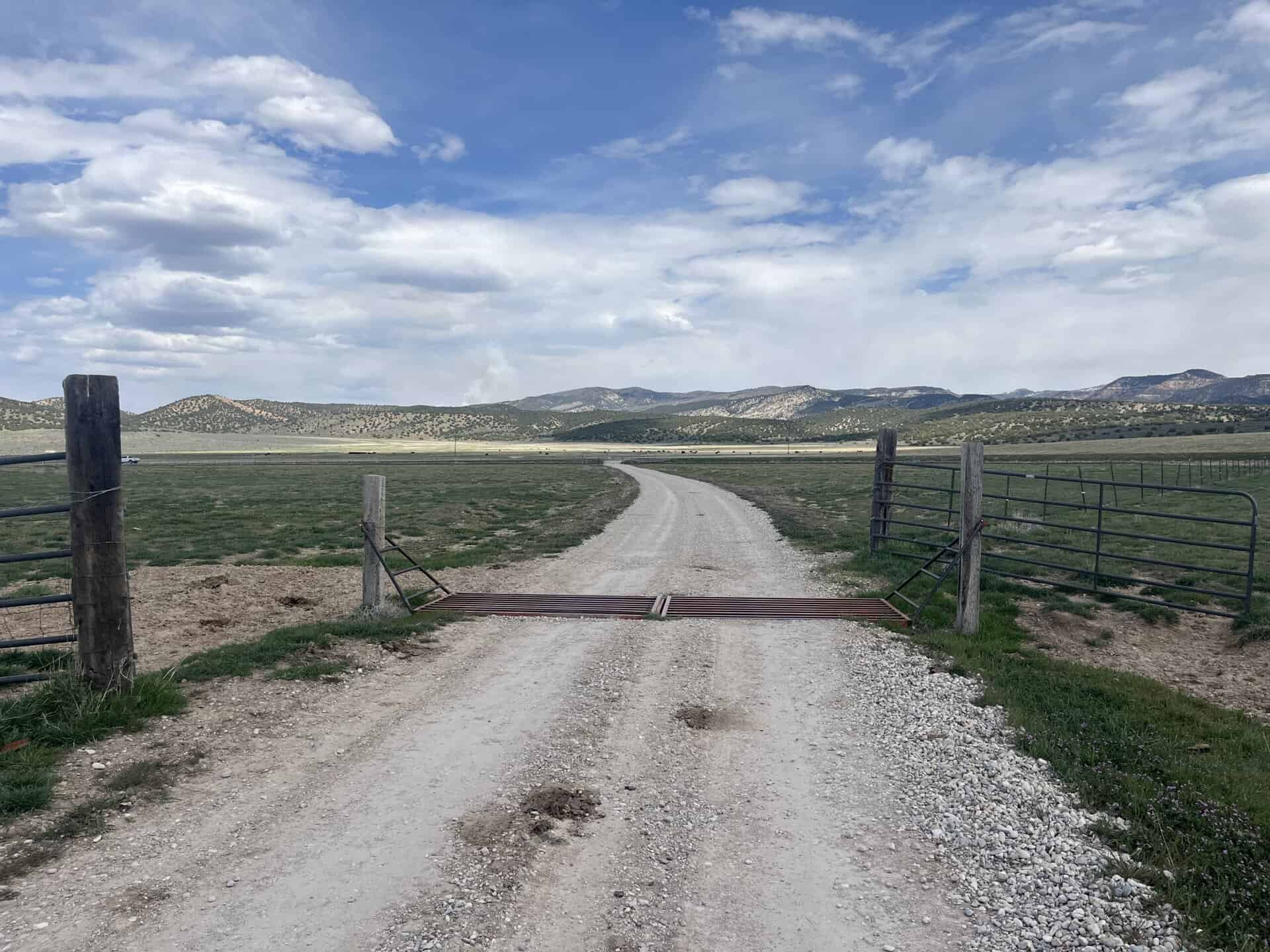
Access:
State Road 28 is located a short distance to the east. Access to the property is along a Class D County Road (Road 479) which connects with State Road 28.
Additional Information:
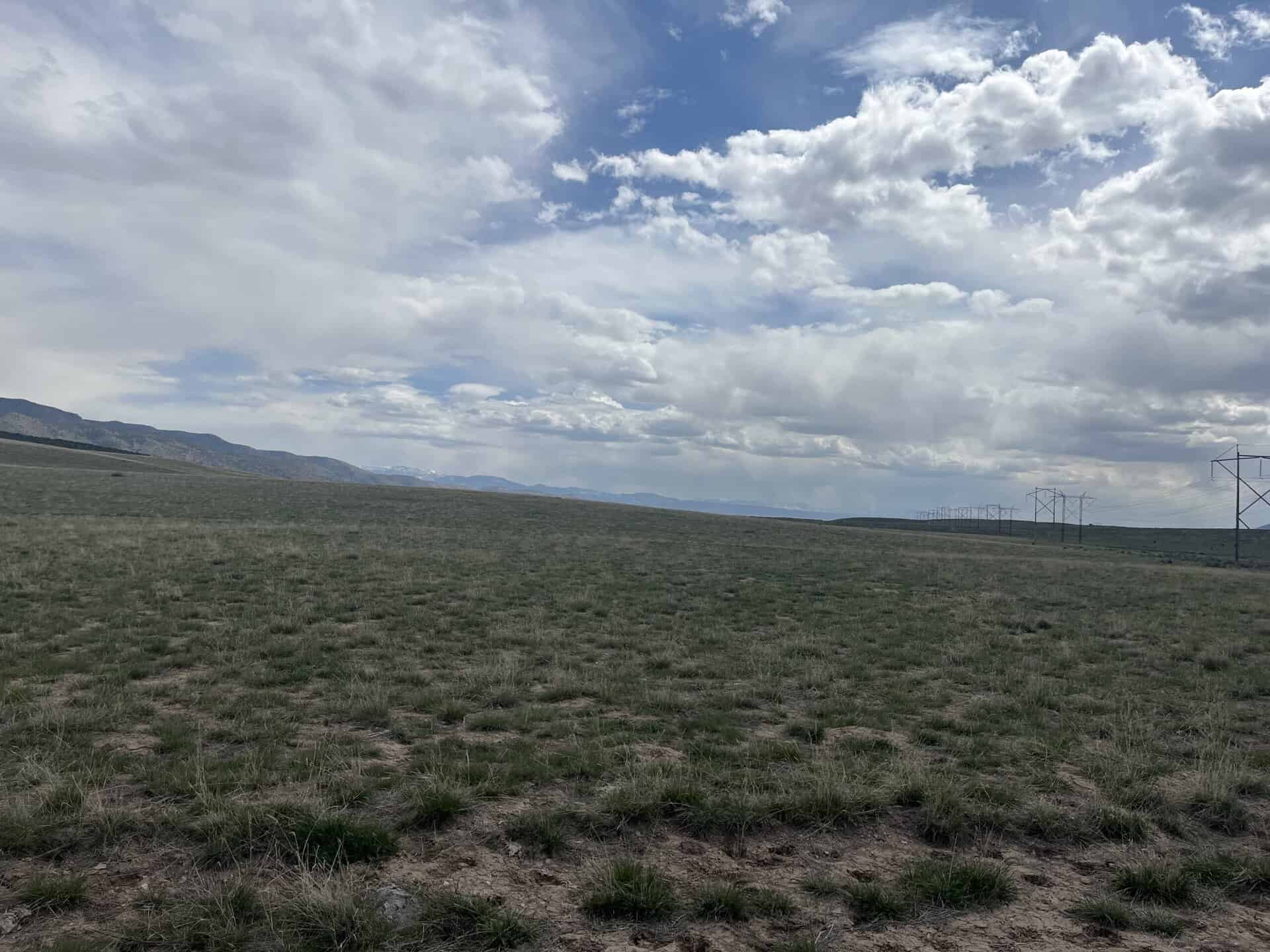
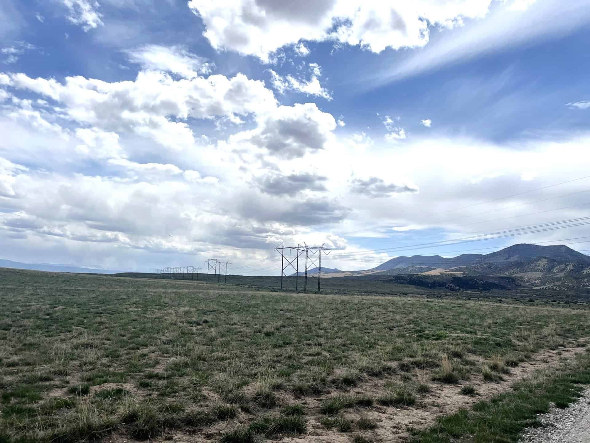
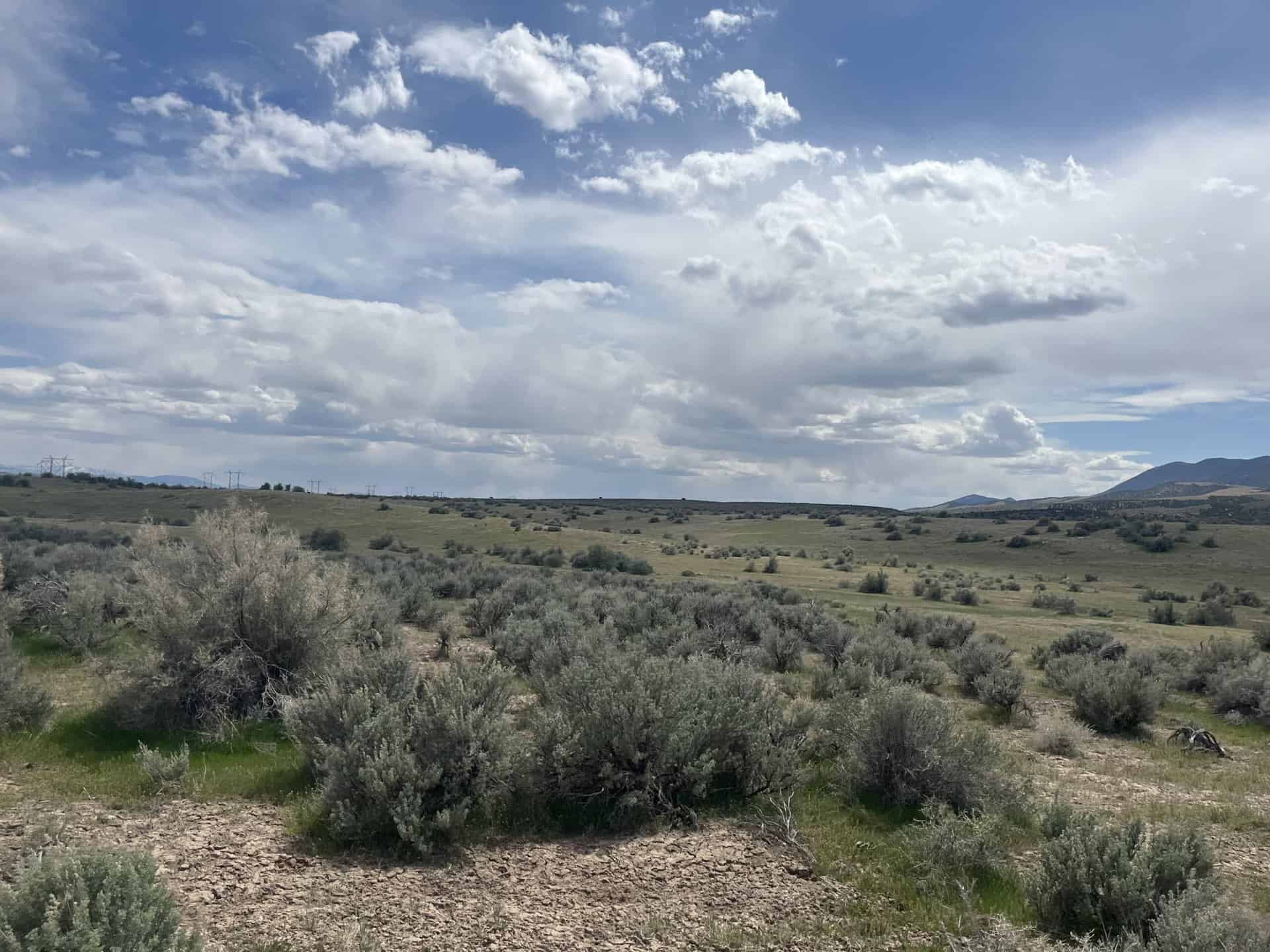
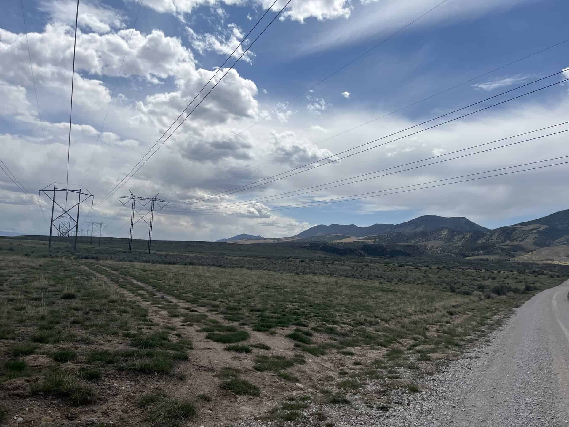
The property to the south and west of the parcel are open range lands. A small development is located to the west of the parcel. There is a powerline that traverses the parcel from north to south, in the center portion of the property.
Yuba State Park is located about 1 mile to the north of the property and consists of a boat ramp and a campground. The property does have some direct connection to Yuba Reservoir, especially during high-water times (~1,800 feet of high waterline).
The topography of the property is mostly level, mildly sloping with a few small drainages. The elevation is about 5,000 feet. The vegetation is sagebrush and grasses with a few juniper trees on the far west side of the property. Portions of the property have been seeded with grasses to improve forage for livestock.
Acreage:
320.00 acres, more or less
Water Rights:
No water is available to be conveyed with the property.
Utilities:
Power lines run through the center of the parcel. It also appears that an underground line exists on the property. No other utilities are known to be located near the parcel.
Zoning:
A (Agriculture) – This zoning allows for primarily agriculture related uses, including a dwelling on a minimum of 5 acres of land.
Financing:
Financing will be offered for this parcel at a variable interest rate of prime plus 2.5% or 7.5%, whichever is greater. A down payment of 10% and closing costs will be due at the auction. The remaining balance can be financed for up to a 20 year term.
During the time when the property is being financed (before a patent is issued), the county records will show the property as state trust lands with notices being sent in care of the purchaser. All improvements to the land during the financing period will need approval.
Mineral Lease Encumbrances:
None
Surface Lease Encumbrances:
- Easement No. 1186, issued to PacifiCorp dba Rocky Mountain Power for a power line, with an expiration date of October 22, 2036
- Easement No. 1292, issued to Dennis and Debra Ward for a reciprocal easement for an access road, with an expiration date of January 31, 2038
- Easement No. 1559, issued to PacifiCorp dba Rocky Mountain Power for a buried 7.2kV power line, with an expiration date of February 28, 2041
- Right of Way No. 621, issued to PacifiCorp dba Rocky Mountain Power for a 230kV transmission line, for a perpetual term
- Grazing Permit No. 22974-25, issued to Dale M. Dorius (this property will be removed from the grazing permit when it is sold)
Cultural Resource Covenant:
A historical and cultural resource survey was conducted on this parcel. Some significant sites were identified. The property will be sold with a deed reservation for the cultural or historical resources that were identified.
Disclosures:
- Please see the disclosure summary and the certificate of sale template document for general disclosures which apply to all parcels being offered for sale at this auction.
- The Utah Geological Survey has submitted the following comment: “Potential geologic hazards in the area that could affect the parcel include seasonal and/or flash flooding/debris flow, problem soils including shrink/swell and/or collapsible, earthquake-related hazards associated with the Wasatch Fault including ground shaking and liquefaction/lateral spread, shallow bedrock and/or groundwater, and indoor radon potential. The prospective buyer should be aware of the potential hazards so they can be addressed in a manner appropriate to the intended use of the property. UGS has general geologic hazard information available at its offices and online at http://geology.utah.gov/utahgeo/hazards/index.htm.”
- The Division of Emergency Management has submitted the following comment: “The applicant must verify if a floodplain development permit is required by the local Floodplain Administration (FPA) in the community where the work is being undertaken. The applicant must comply with the National Flood Insurance Program (NFIP) and the local floodplain regulations by contacting the community FPA. For more information, contact Tracie Harrison, State Floodplain Program Manager, at [email protected] or 385-499-2077.
- All mineral rights will be reserved.
- The sand and gravel on the parcel will be subject to a royalty provision if sold commercially.
- The property will be conveyed subject to all valid existing rights.

