


Whitmore Canyon (C-27229)
What are trust lands?
Trust lands are parcels of land granted by Congress to Utah at statehood to support specific beneficiaries, including public schools, universities, hospitals, and reservoirs. Trust lands are not public lands, but are generally open for public use, when possible. Trust lands were allocated specifically to generate revenue to support our beneficiaries. SITLA currently manages 3.3 million surface acres on behalf of our beneficiaries.
ONLINE BIDDING INFORMATION:
To register as a bidder or to place a bid, please see box to the right.
Bid Start Time for this Parcel: Thursday, June 5, 2025 – Time: 11am MDT
Bid End Time for this Parcel: Tuesday, June 10, 2025 – Time: 11am MDT
CLOSING COSTS:
The closing costs are expenses incurred to prepare the property for sale. A large portion of the costs is for the completion of a cultural resource survey, which is required by law.
These costs are in addition to the 10% down payment. All closing costs are due from the winning bidder within 24 hours after completion of the auction and cannot be financed.
TOTAL CLOSING COSTS FOR THIS PARCEL: $5,060
Beneficiary:
The net proceeds from the sale of this property will be deposited into the permanent fund for the beneficiary of Public Schools.
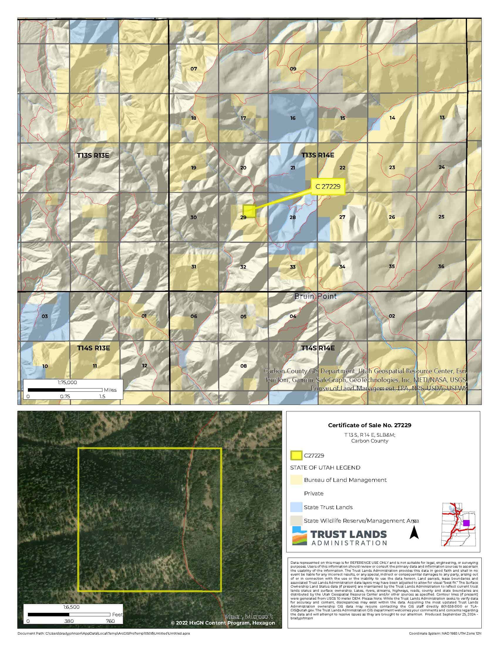
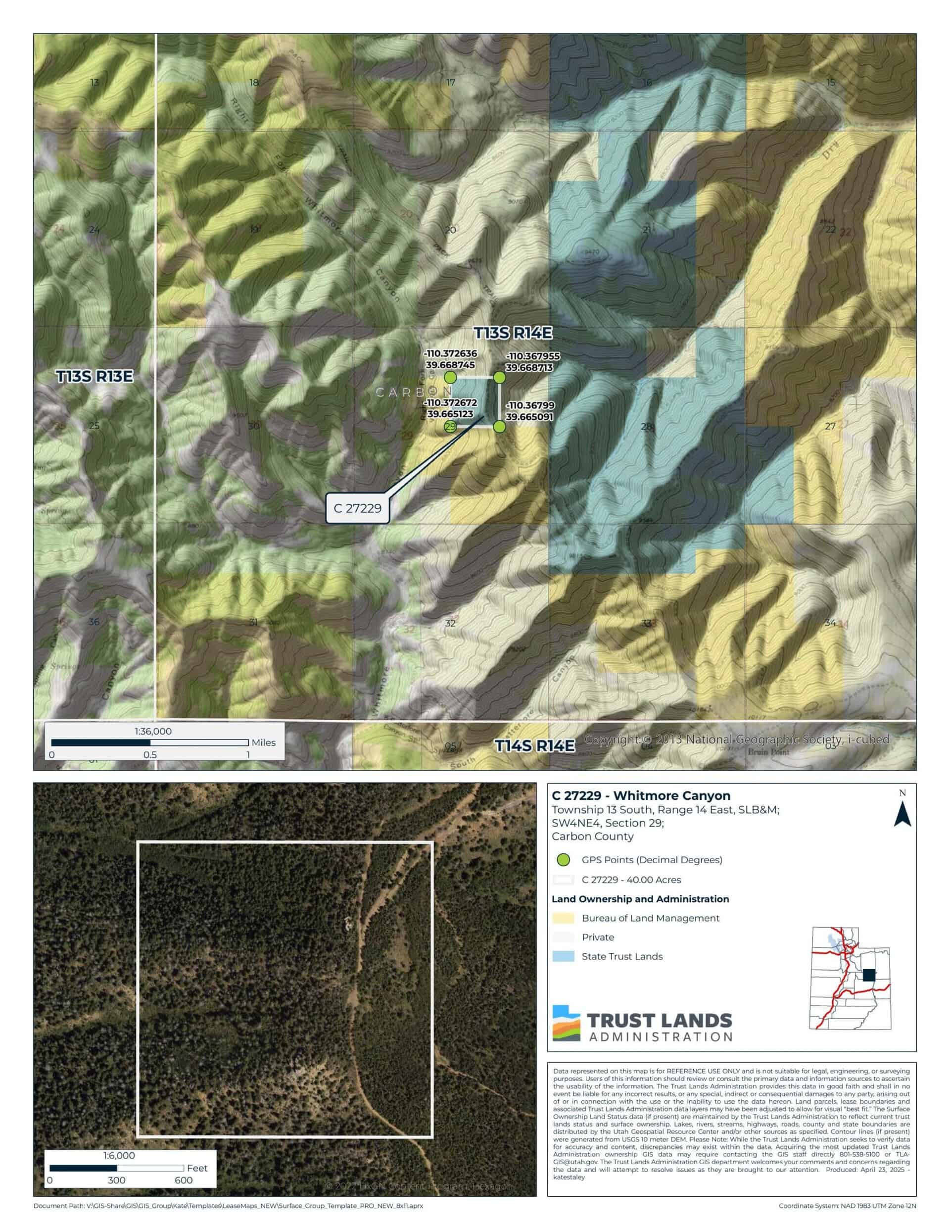
Legal Description:
Township 13 South, Range 14 East, SLB&M
Section 29: SW¼NE¼
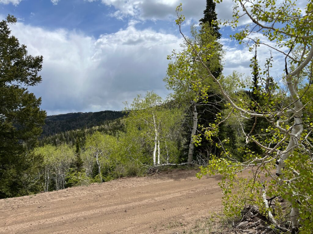
Location:
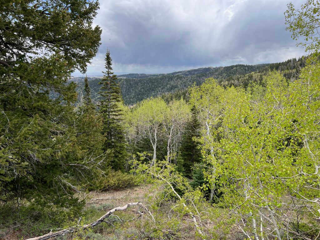
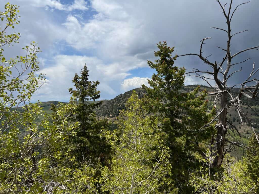
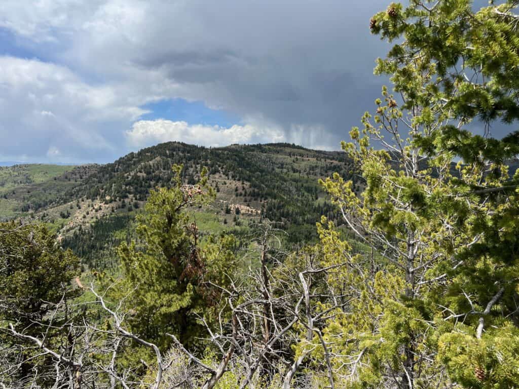
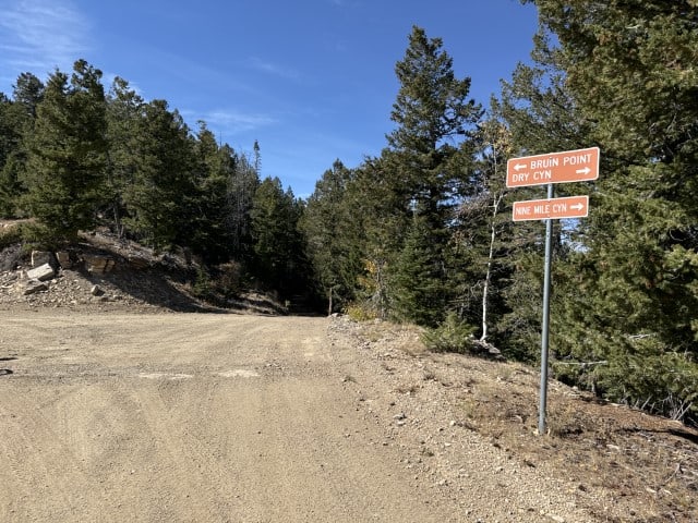
The property is located about 9 miles north of East Carbon, and about 3 miles northwest of Bruin Point in Carbon County, Utah.
GPS points to the center of the property: 110°22’13″W, 39°40’1″N
Decimal Degree GPS (to SW corner): 39.665123, -110.372672
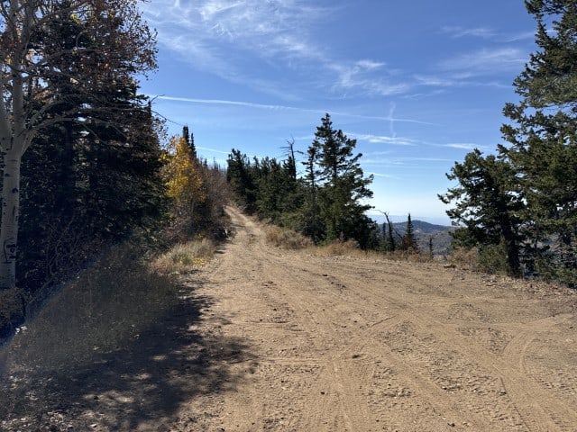
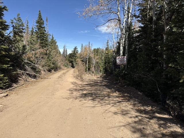
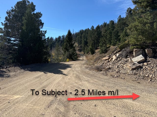
Access:
Access to the property is from Water Tank Road, which runs vertically through the property. Water Tank Road is accessed from Dry Canyon Road, which is a seasonally-maintained road from Nine Mile Canyon.
(If you plan to visit the property, please follow any “No Trespassing” signs installed by neighboring landowners.)
Additional Information:
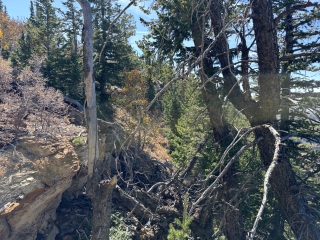
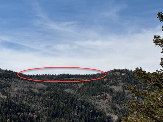
The elevation of the property ranges from 8,781 feet to 9,509 feet. The topography is mountainous with steep slopes. The average slope of the property is 68%. The property is surrounded by BLM property on the south and the west; and private property to the north and the east. The use of this parcel is anticipated to be agriculture, grazing, recreation, hunting, camping, hiking, and/or ATV use.
Acreage:
40.00 acres, more or less
Water Rights:
No water rights will be sold with this property
Utilities:
No public utilities are available to the property. Utilities are approximately 2 miles away, at Bruin Point.
Zoning:
WS, Water Shed
Financing:
Financing will be offered for this parcel at a variable interest rate of prime plus 2.5% or 7.5%, whichever is greater. A down payment of 10% and closing costs will be due at the auction. The remaining balance can be financed for up to a 20 year term.
During the time when the property is being financed (before a patent is issued), the county records will show the property as state trust lands with notices being sent in care of the purchaser. All improvements to the land during the financing period will need approval.
Mineral Lease Encumbrances:
None
Surface Lease Encumbrances:
- Easement No. 1606, issued to Joshua or Tarrie Orton for an access road, with an expiration date of February 28, 2041
Cultural Resource Covenant:
A historical and cultural resource survey was conducted on this parcel. No significant sites were identified. The property will be sold without any reservations for cultural or historical resources.
Disclosures:
- Please see the disclosure summary and the certificate of sale template document for general disclosures which apply to all parcels being offered for sale at this auction.
- All mineral rights will be reserved.
- The sand and gravel on the parcel will be subject to a royalty provision if sold commercially.
- The property will be conveyed subject to all valid existing rights.

