
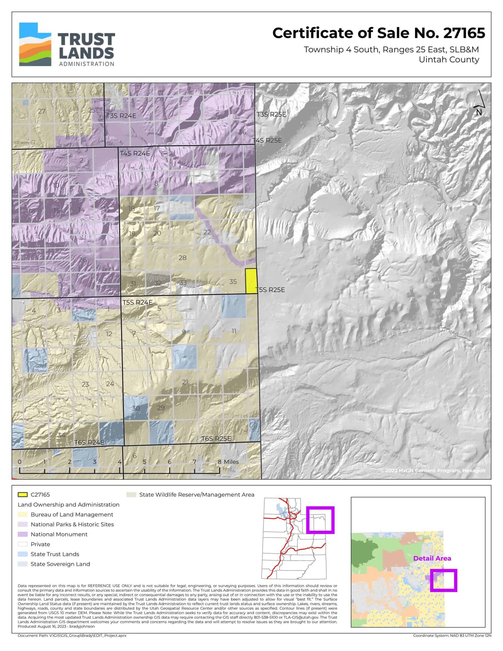
Stuntz Flat (C-27165)
What are trust lands?
Trust lands are parcels of land granted by Congress to Utah at statehood to support specific beneficiaries, including public schools, universities, hospitals, and reservoirs. Trust lands are not public lands, but are generally open for public use, when possible. Trust lands were allocated specifically to generate revenue to support our beneficiaries. SITLA currently manages 3.3 million surface acres on behalf of our beneficiaries.
ONLINE BIDDING INFORMATION:
Bid Start Time for this Parcel: November 8, 2023, Time: 9:20am MST
Bid End Time for this Parcel: November 14, 2023, Time: 11:20am MST
- To register as a bidder or to place a bid, please see box to the right.
CLOSING COSTS:
The closing costs are in addition to the 10% down payment. All closing costs are due from the prevailing bidder at the auction and cannot be financed.
| Appraisal Costs: | $2,400.00 |
| Cultural Resources Survey: | $4,587.69 |
| Legal Advertising Cost: | $600.00 |
| Sale Processing Charge: | $750.00 |
| TOTAL CLOSING COSTS: | $8,337.69 |
Beneficiary:
The net proceeds from the sale of this property will be deposited into the permanent fund for the beneficiary of Public Schools.
Legal Description:
Township 4 South, Range 25 East, SLB&M
Section 36: Lots 1-4, W½W½ (All)
Location:
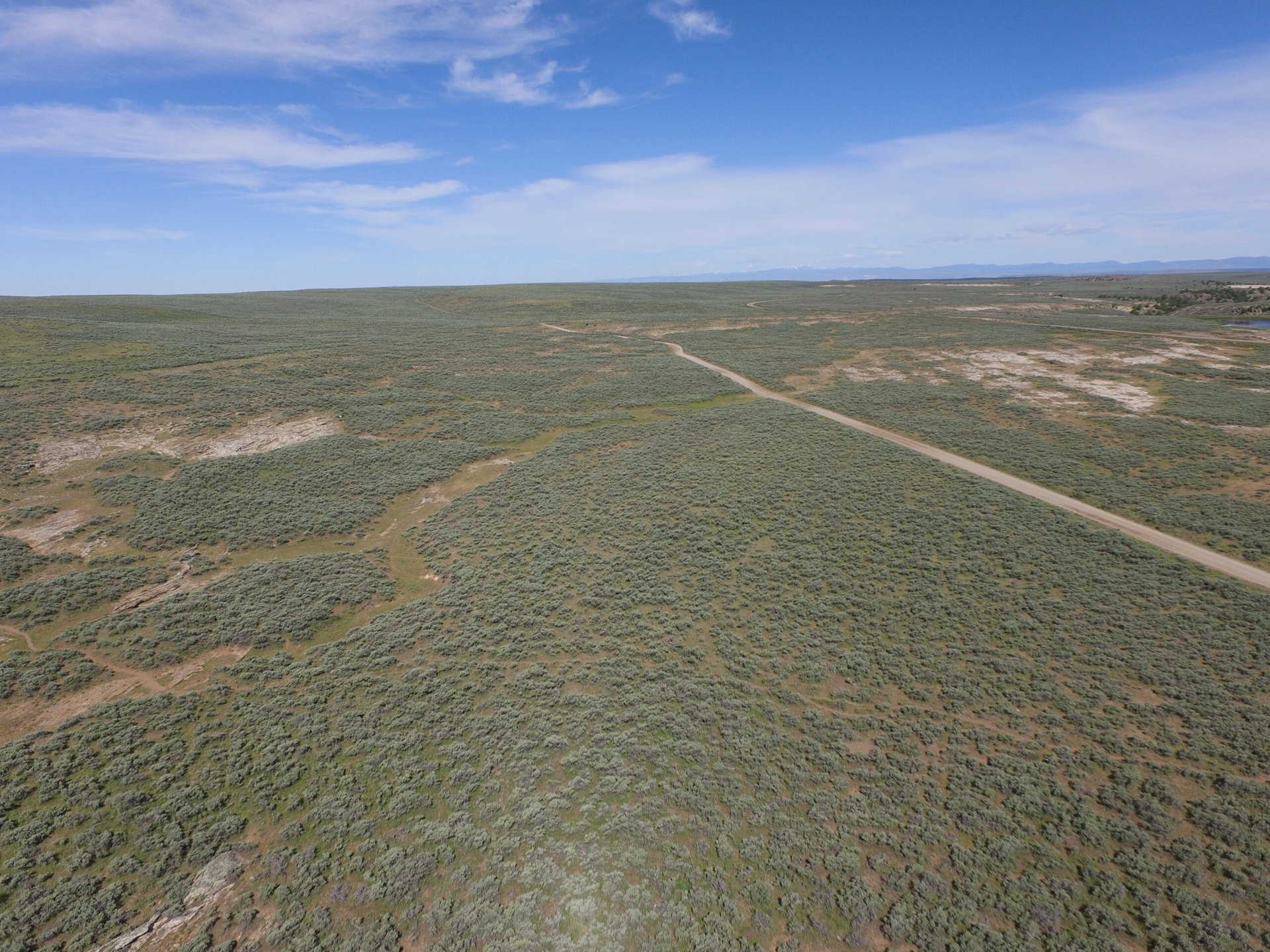
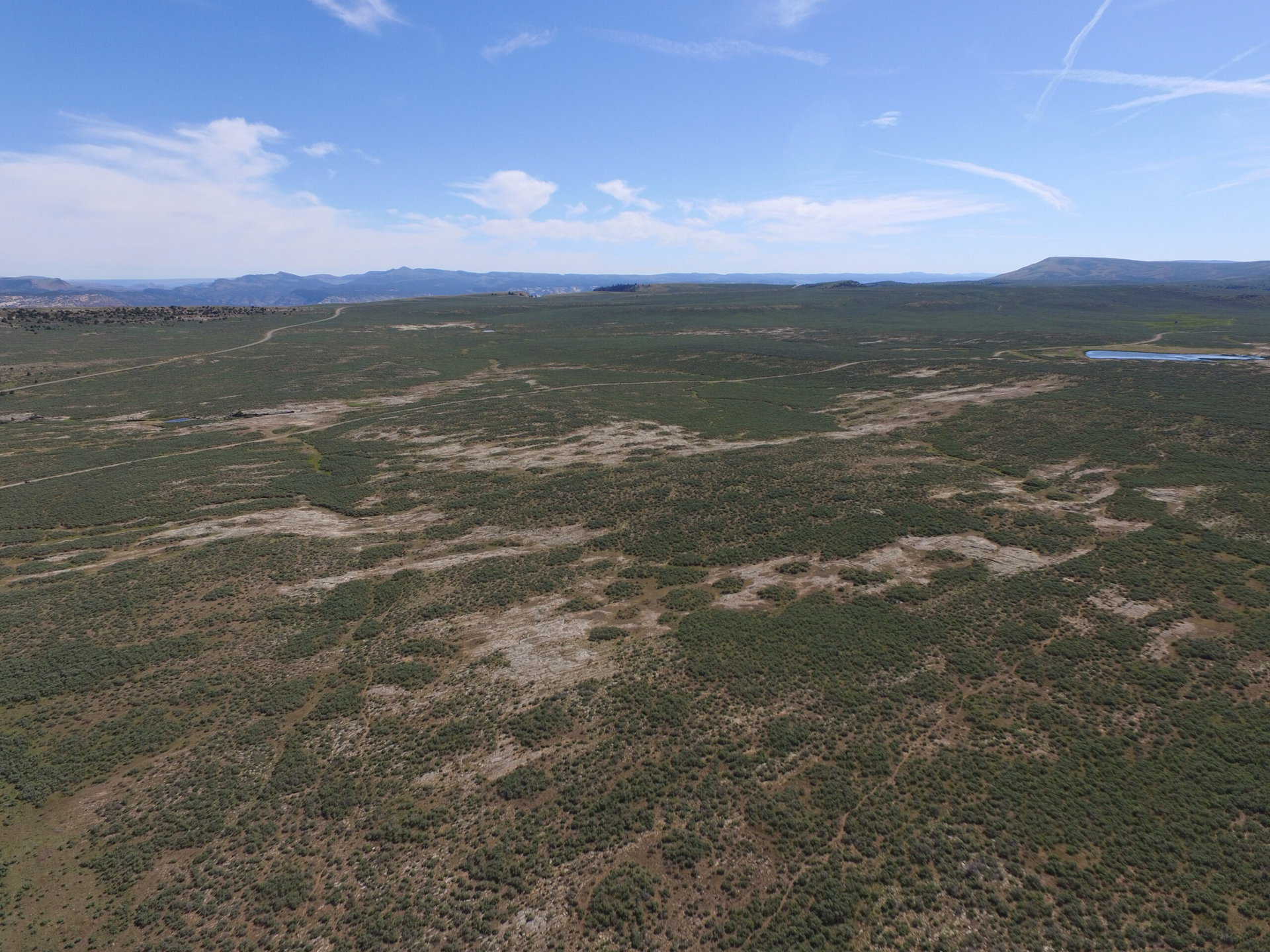
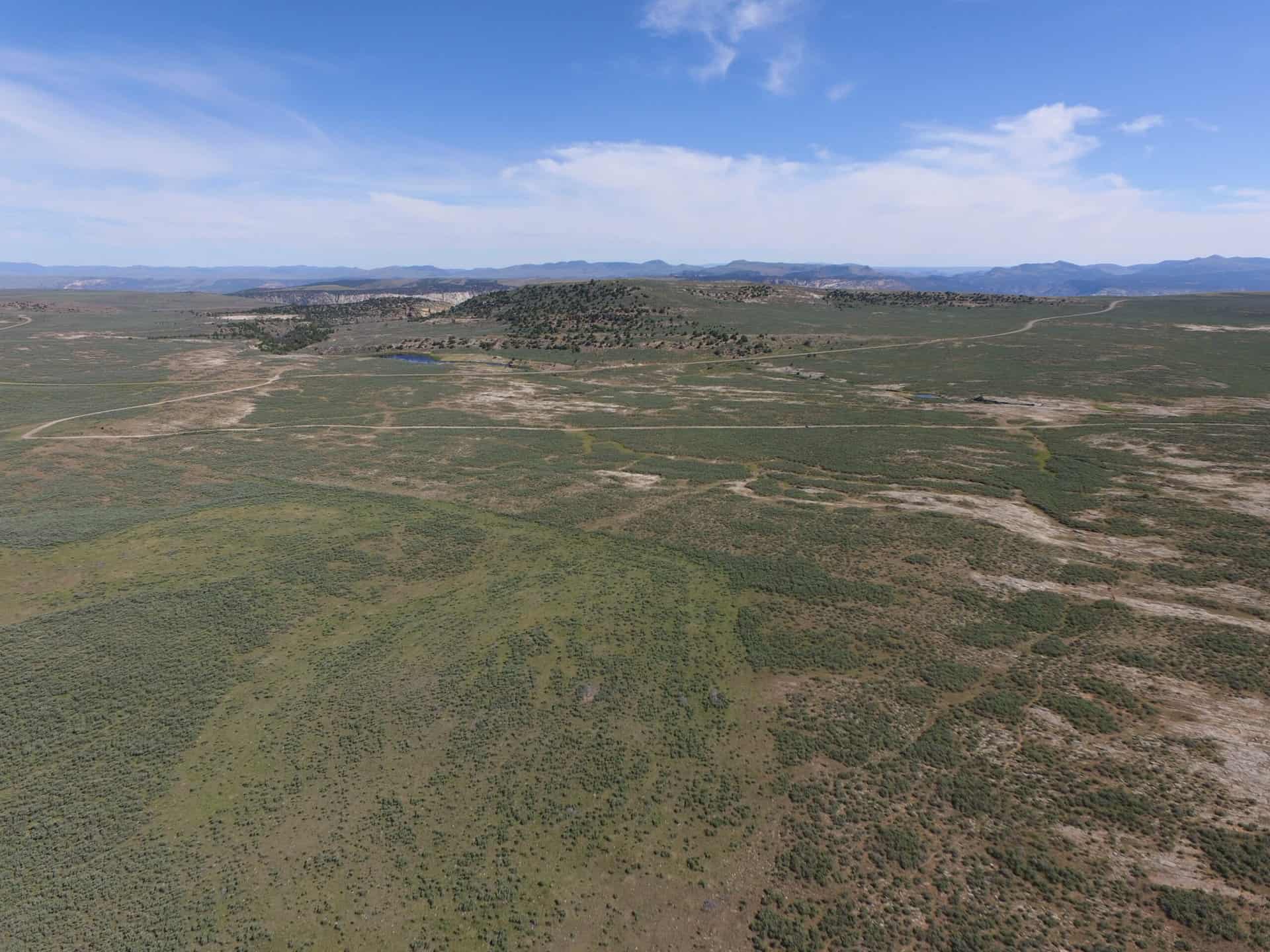
This parcel is located in the Stuntz Flat area of eastern Uintah County, along the Utah/Colorado border, approximately 13 miles north of Dinosaur, Colorado and 4 miles south of Dinosaur National Monument.
Access:
The property is set back 80-300 feet from the Blue Mountain Road. The Bureau of Land Management owns the property between this parcel and the road.
Additional Information:
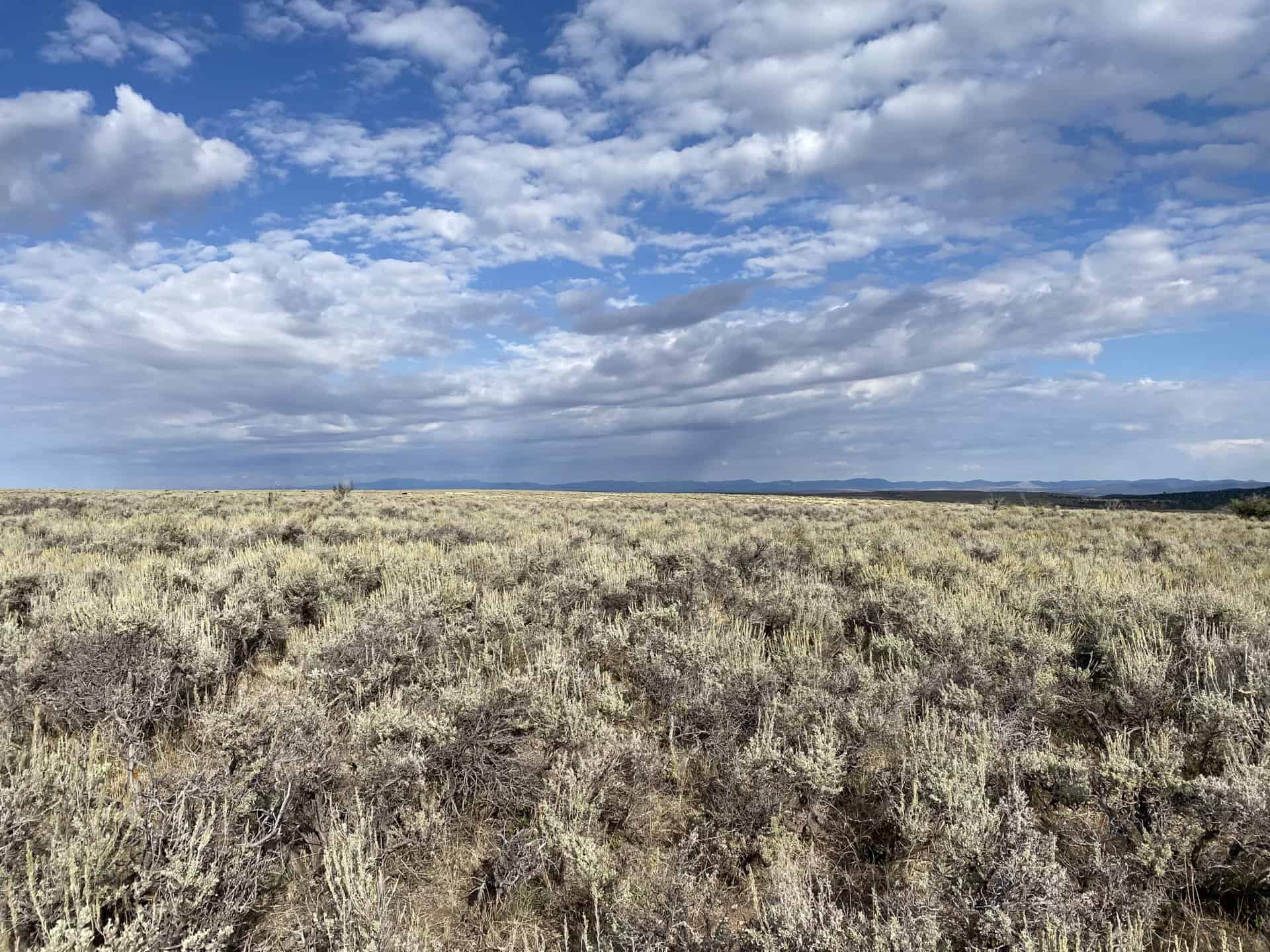
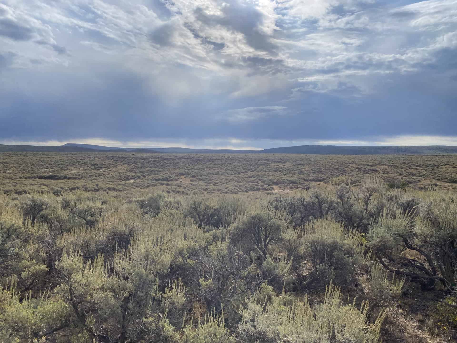
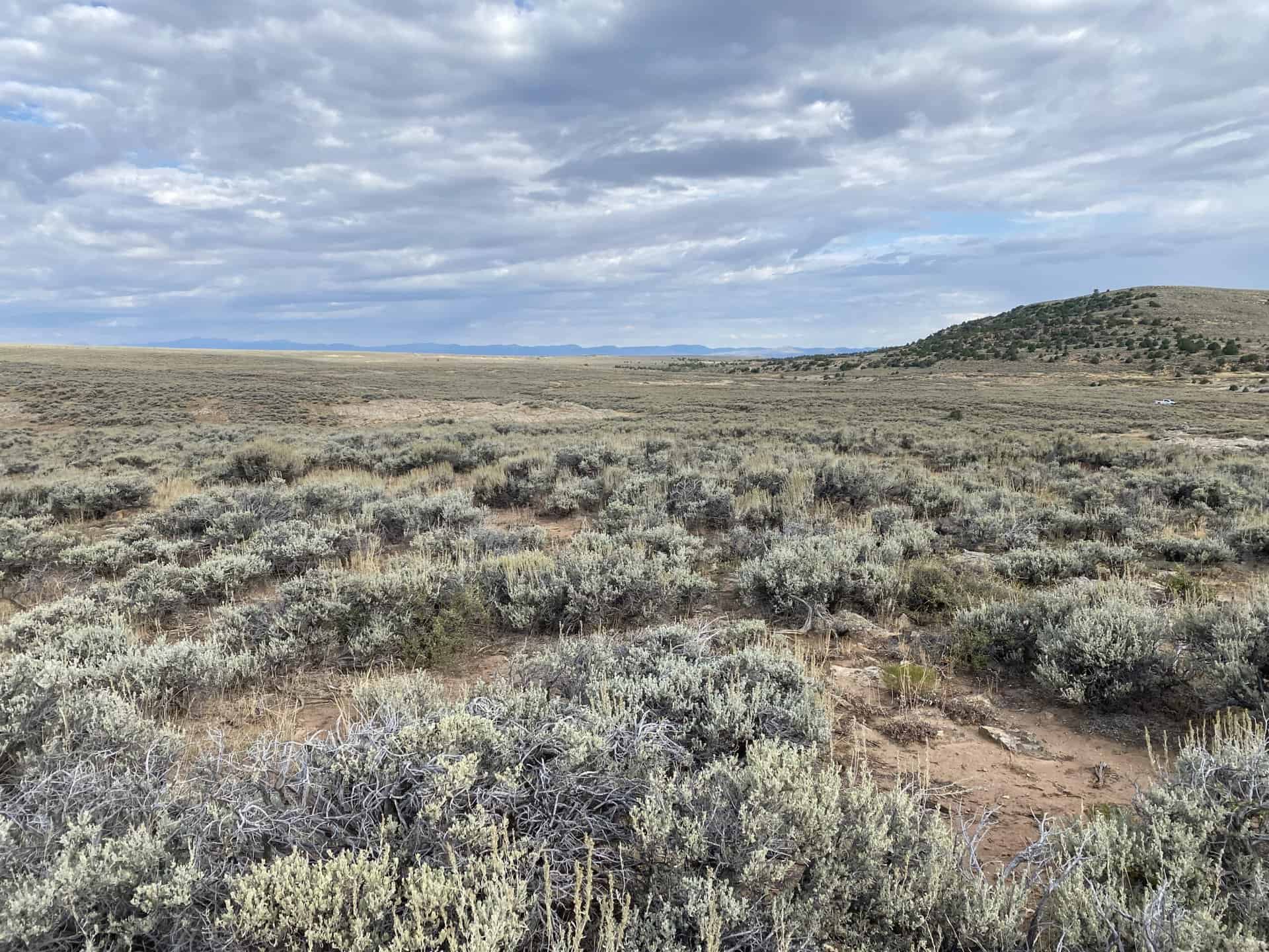
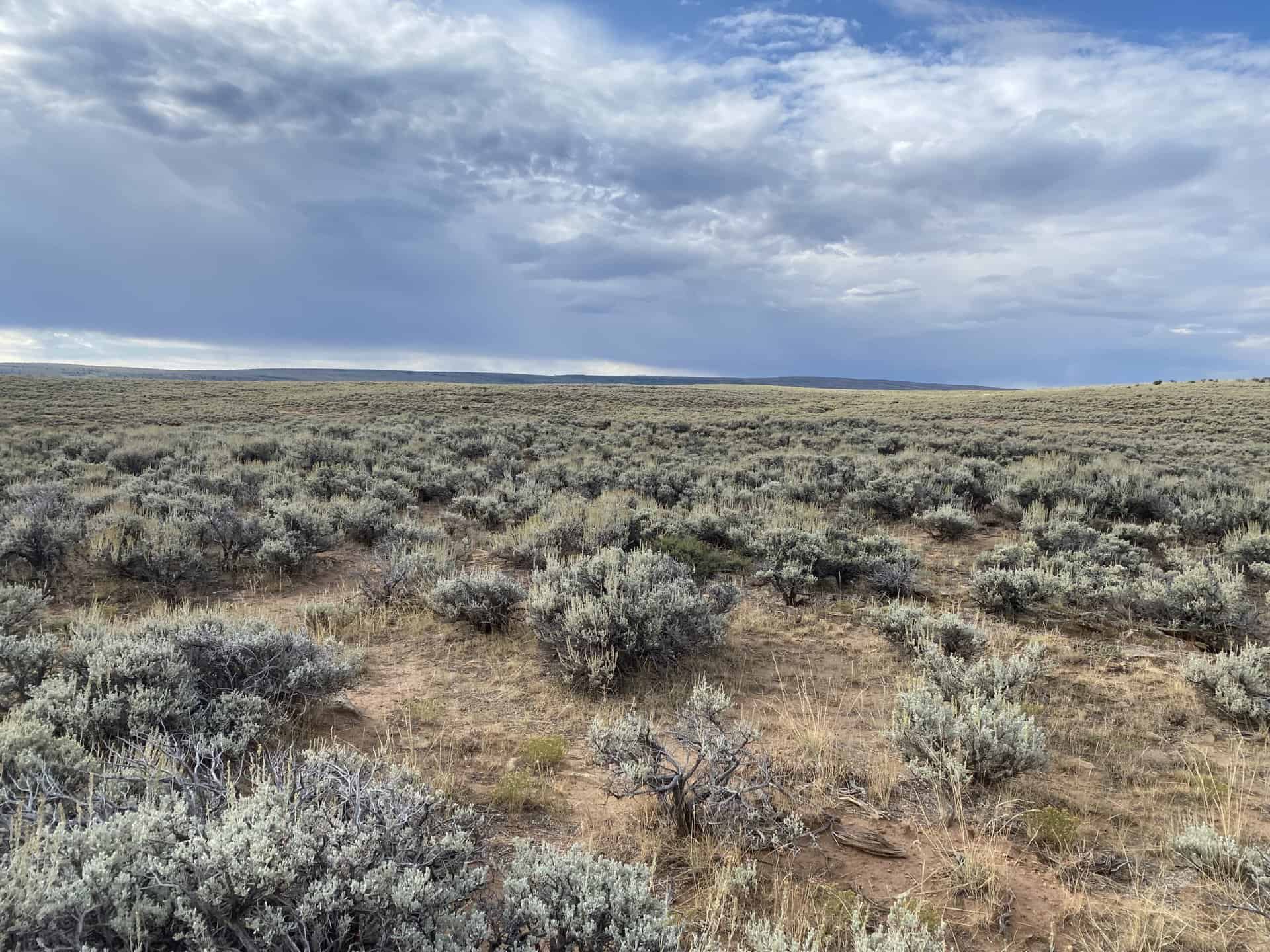
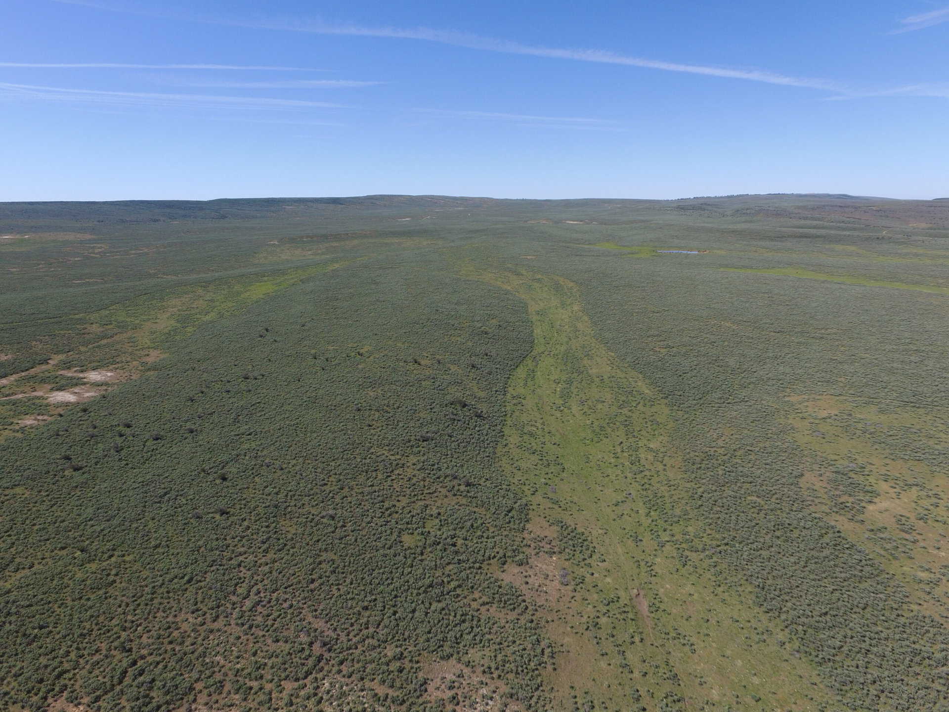
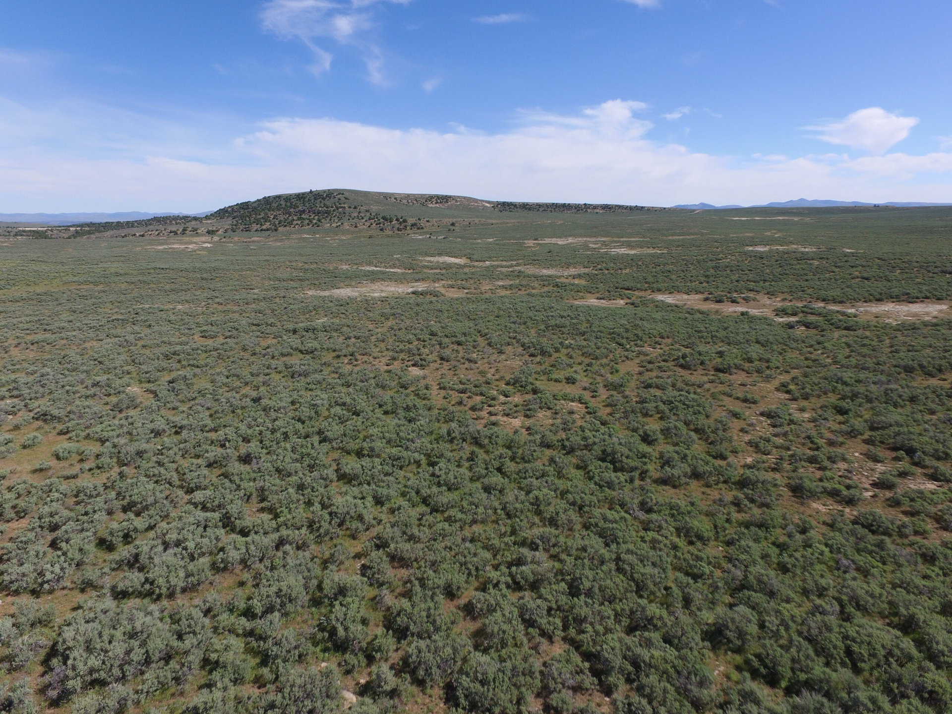
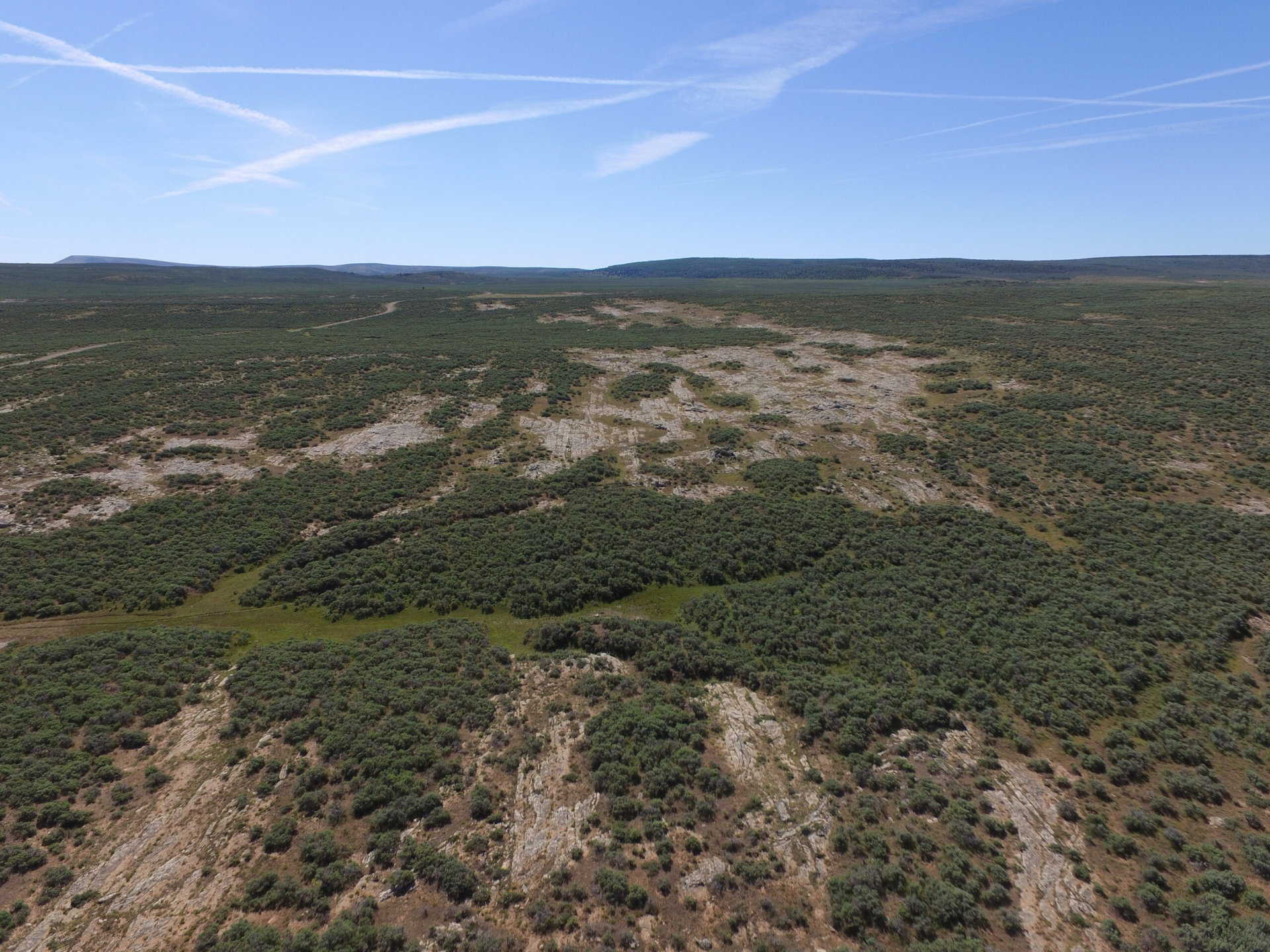
This parcel is currently vacant range land with sage brush and mixed perennial grasses. BLM property adjoins the parcel on the south, north and west. The eastern boundary of the parcel is the Utah/Colorado state line. The parcel is approximately 4 miles from Dinosaur National Monument along Blue Mountain Road and Harpers Corner Road. Terrain is generally flat and elevation ranges from approximately 7,700 to 7,800 feet.
Acreage:
296.62 acres, more or less
Water Rights:
The Division of Water Rights has applied a Restricted ground-water policy to this region. A limited ground-water resource is available. The successful purchaser may apply for an appropriation with the Division of Water Rights.
Utilities:
There are no known utilities in the general area.
Zoning:
The parcel is zoned MG-1, Mining and Grazing.
Financing:
Financing will be offered for this parcel at a variable interest rate of prime plus 2.5% or 7.5%, whichever is greater. A down payment of 10% and closing costs will be due at the auction. The remaining balance can be financed for up to a 20 year term.
Mineral Lease Encumbrances:
None
Surface Lease Encumbrances:
- Grazing Permit No. 20974-12, issued to Stuntz Valley Ranch, LP (the lands included in this sale will be removed from this permit when this property is sold)
- An application for Range Improvement Project No. 934, submitted by Stuntz Valley Ranch, LLC
- Right of Way No. 1072, issued to the US Department of the Interior for a scenic easement for a perpetual term
Cultural Resource Covenant:
A cultural resource survey has been conducted on this parcel. No significant sites were identified.
Disclosures:
- Please see the disclosure summary and the certificate of sale template document for general disclosures which apply to all parcels being offered for sale at this auction.
- All mineral rights will be reserved.
- The sand and gravel on the parcel will be subject to a royalty provision if sold commercially.
- The Utah Geological Survey has submitted the following comment: “Potential geologic hazards in the area that could affect the parcels include flash
flooding/debris flow, problem soils and/or bedrock including shrink/swell and/or collapsible, shallow bedrock, and indoor radon potential. Prospective buyers should be aware of the potential hazards so they can be addressed in a manner appropriate to the intended use of the property. UGS has general geologic hazard information available at its offices and online at
http://geology.utah.gov/utahgeo/hazards/index.htm.” - The property will be conveyed subject to all valid existing rights.

