

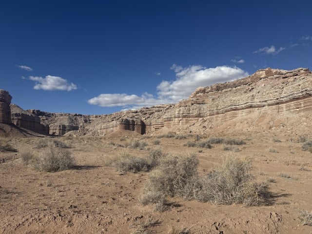
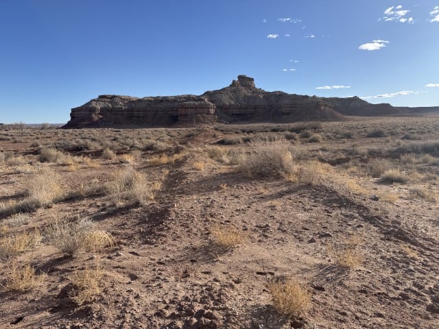
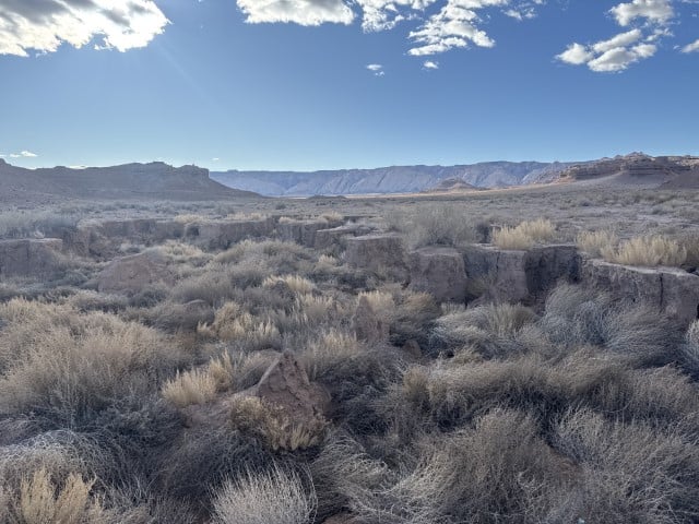
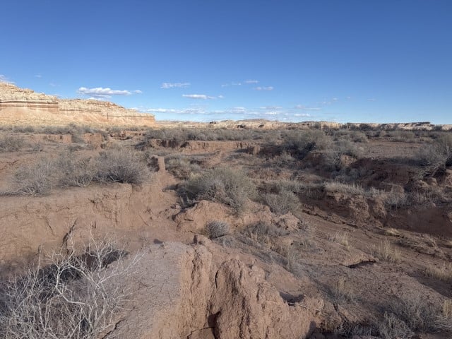
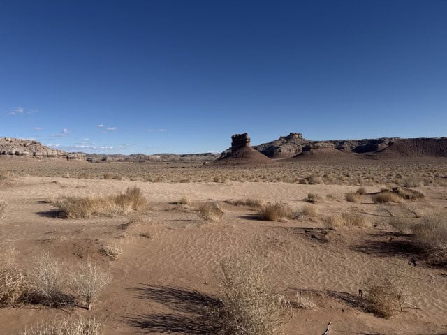
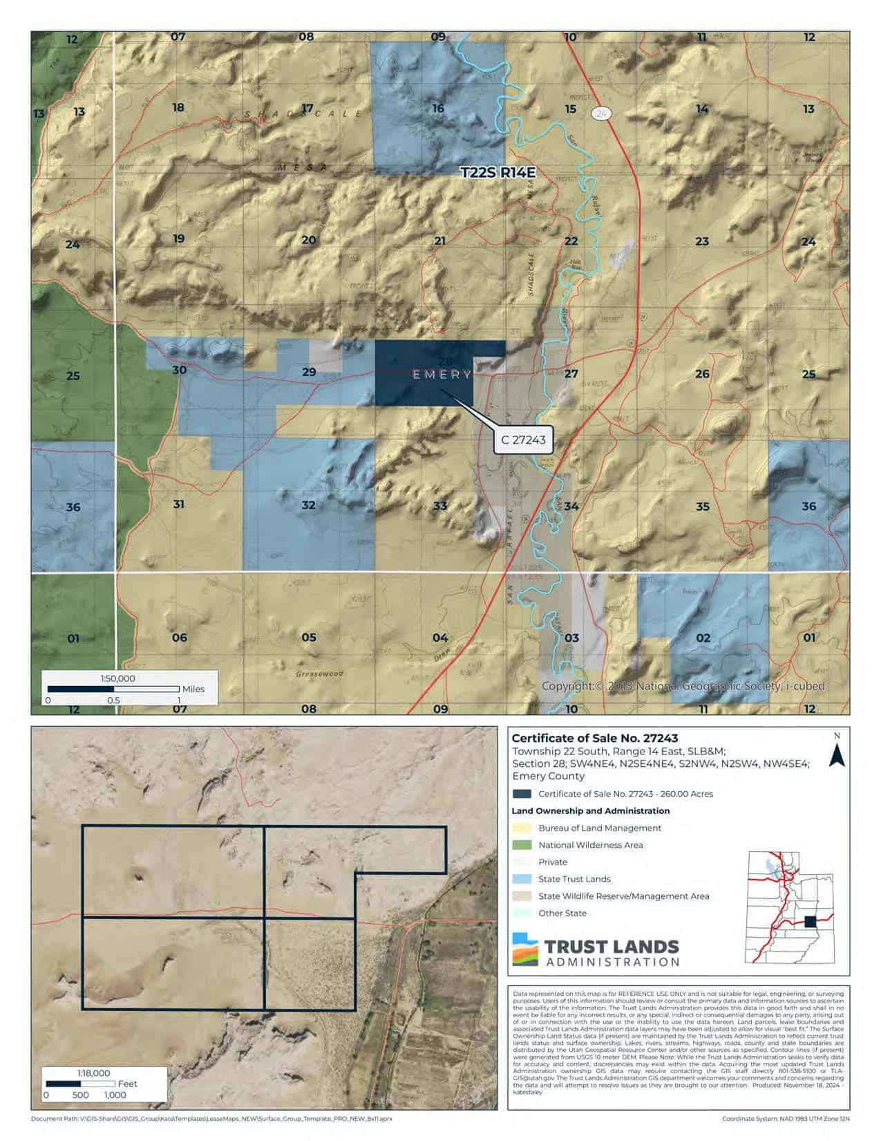

Shadscale Mesa (C-27243)
What are trust lands?
Trust lands are parcels of land granted by Congress to Utah at statehood to support specific beneficiaries, including public schools, universities, hospitals, and reservoirs. Trust lands are not public lands, but are generally open for public use, when possible. Trust lands were allocated specifically to generate revenue to support our beneficiaries. SITLA currently manages 3.3 million surface acres on behalf of our beneficiaries.
ONLINE BIDDING INFORMATION:
To register as a bidder or to place a bid, please see box to the right.
Bid Start Time for this Parcel: Thursday, June 5, 2025 – Time: 10:40am MDT
Bid End Time for this Parcel: Tuesday, June 10, 2025 – Time: 10:40am MDT
CLOSING COSTS:
The closing costs are expenses incurred to prepare the property for sale. A large portion of the costs is for the completion of a cultural resource survey, which is required by law.
These costs are in addition to the 10% down payment. All closing costs are due from the winning bidder within 24 hours after completion of the auction and cannot be financed.
TOTAL CLOSING COSTS FOR THIS PARCEL: $7,800
Beneficiary:
The net proceeds from the sale of this property will be deposited into the permanent fund for the beneficiary of Public Schools.
Legal Description:
Township 22 South, Range 14 East, SLB&M
Section 28: SW¼NE¼, N½SE¼NE¼, S½NW¼, N½SW¼, NW¼SE¼
Location:
The property is located approximately 5 miles south of I-70, 1 mile west of State Route 24. The town of Hanksville is approximately 35 miles southwest of the parcel. The town of Green River is 12 miles northeast of the property.
GPS points to the center of the property: 110°23’15″W, 38°52’16″N
Decimal Degree GPS points (to SW corner): 38.867487, -110.396189
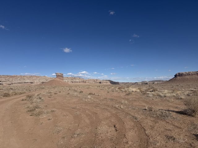
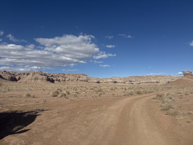
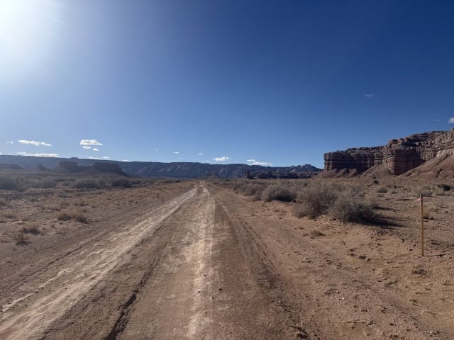
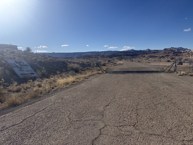
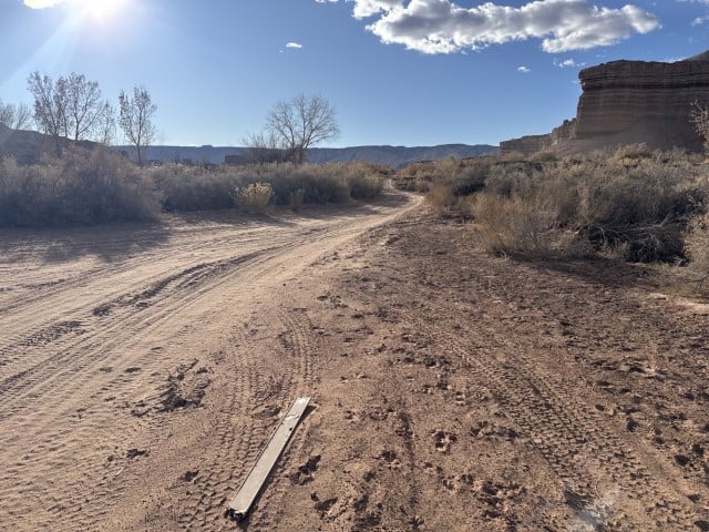
Access:
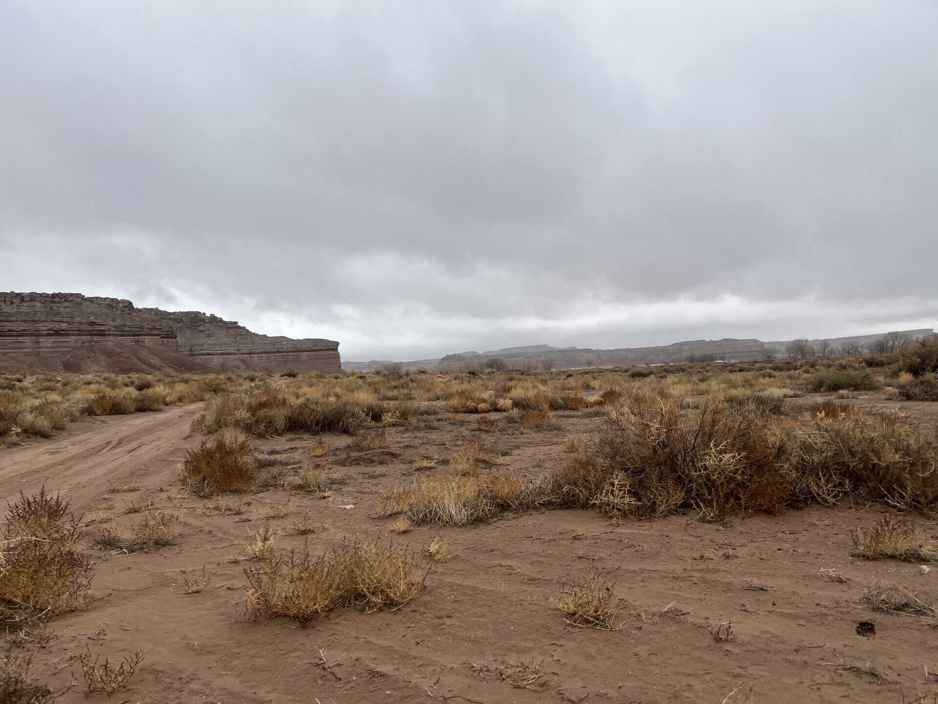
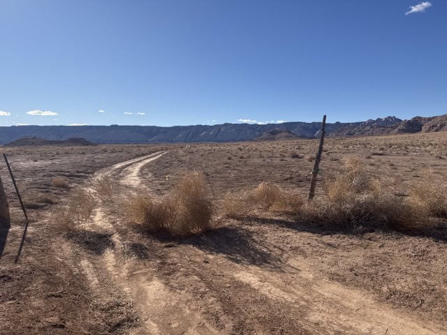
Access to the property is along the San Rafael Valley Spur which runs through the property and is accessed from Highway 24.
Additional Information:
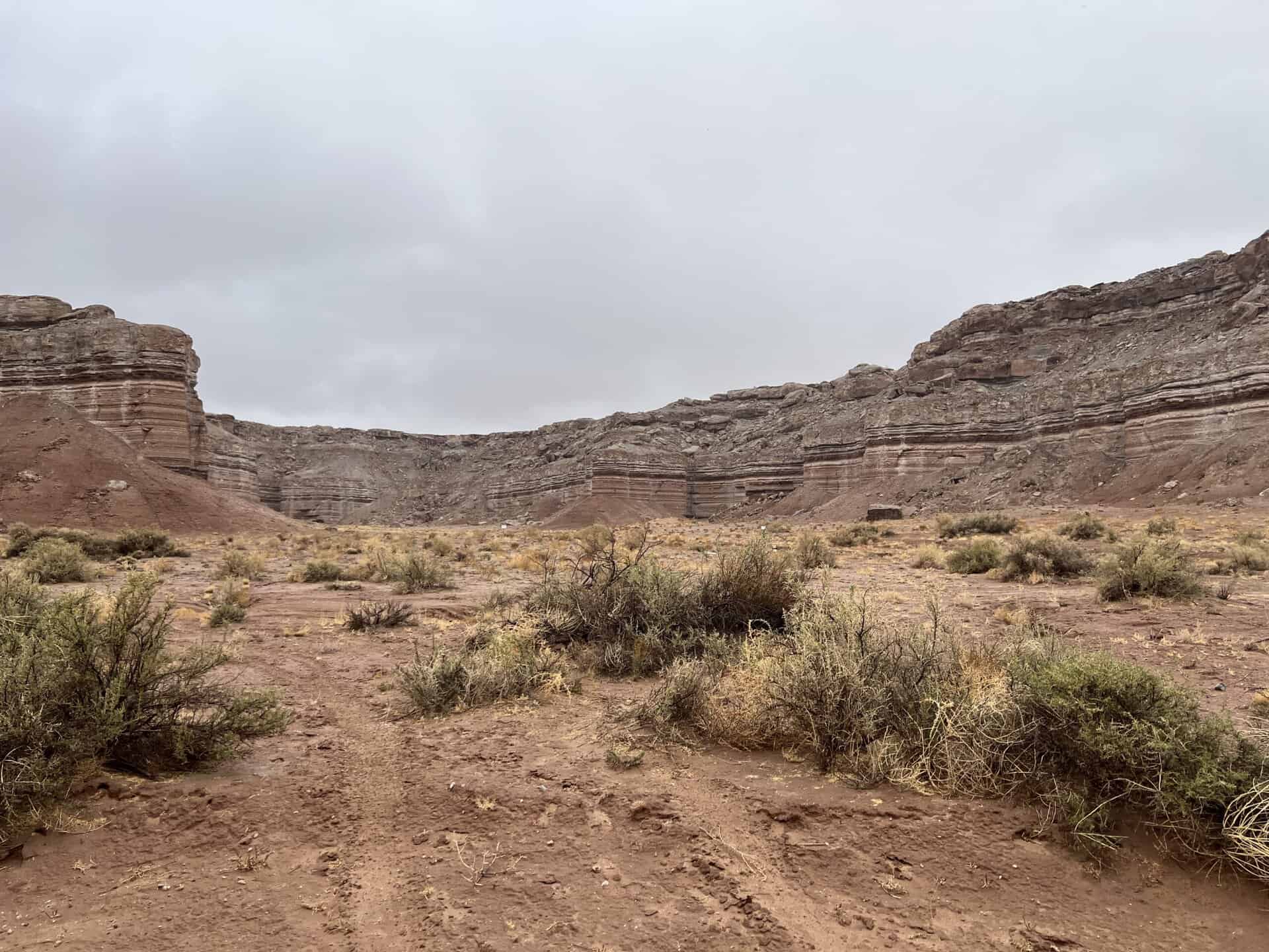
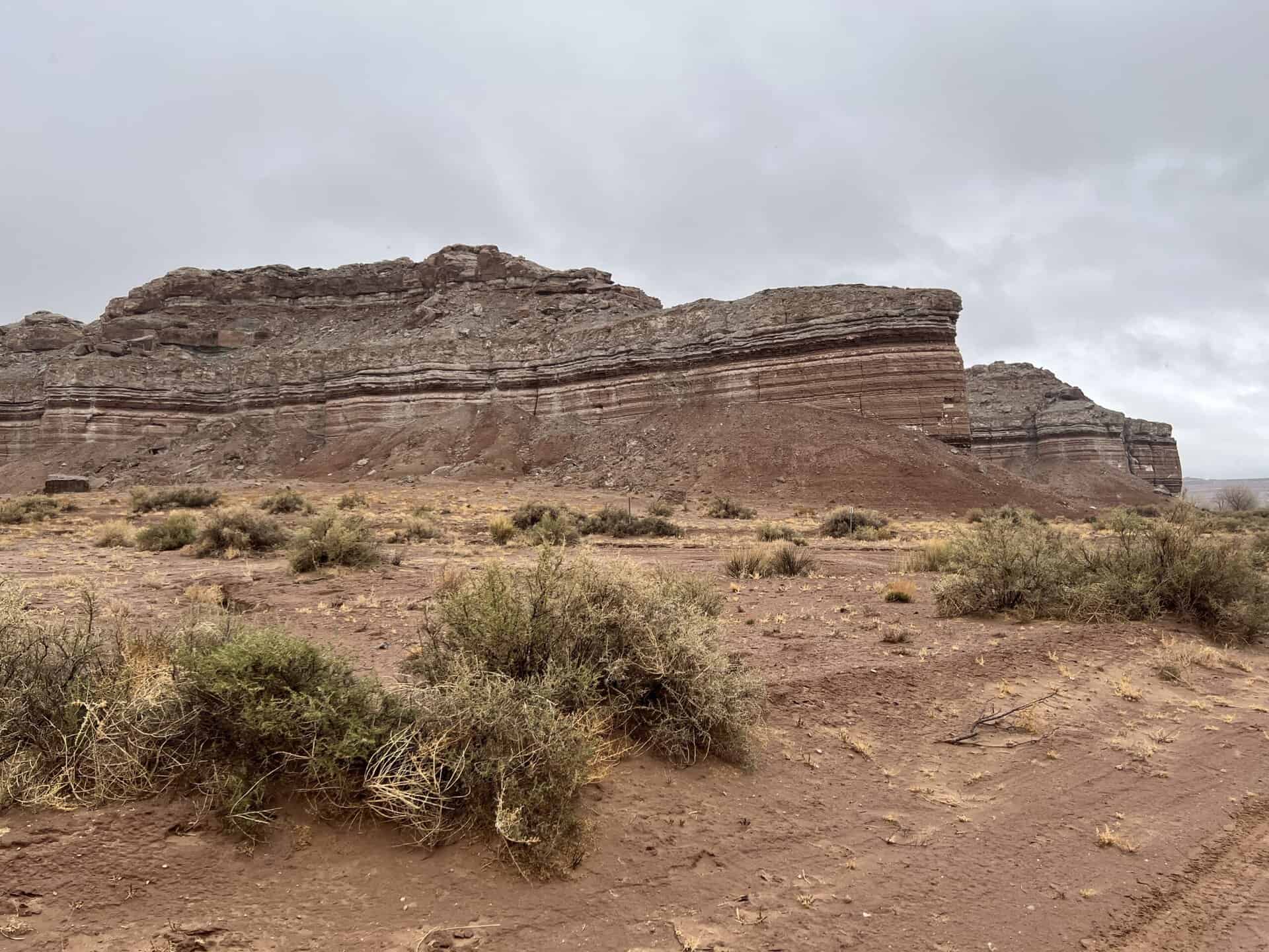
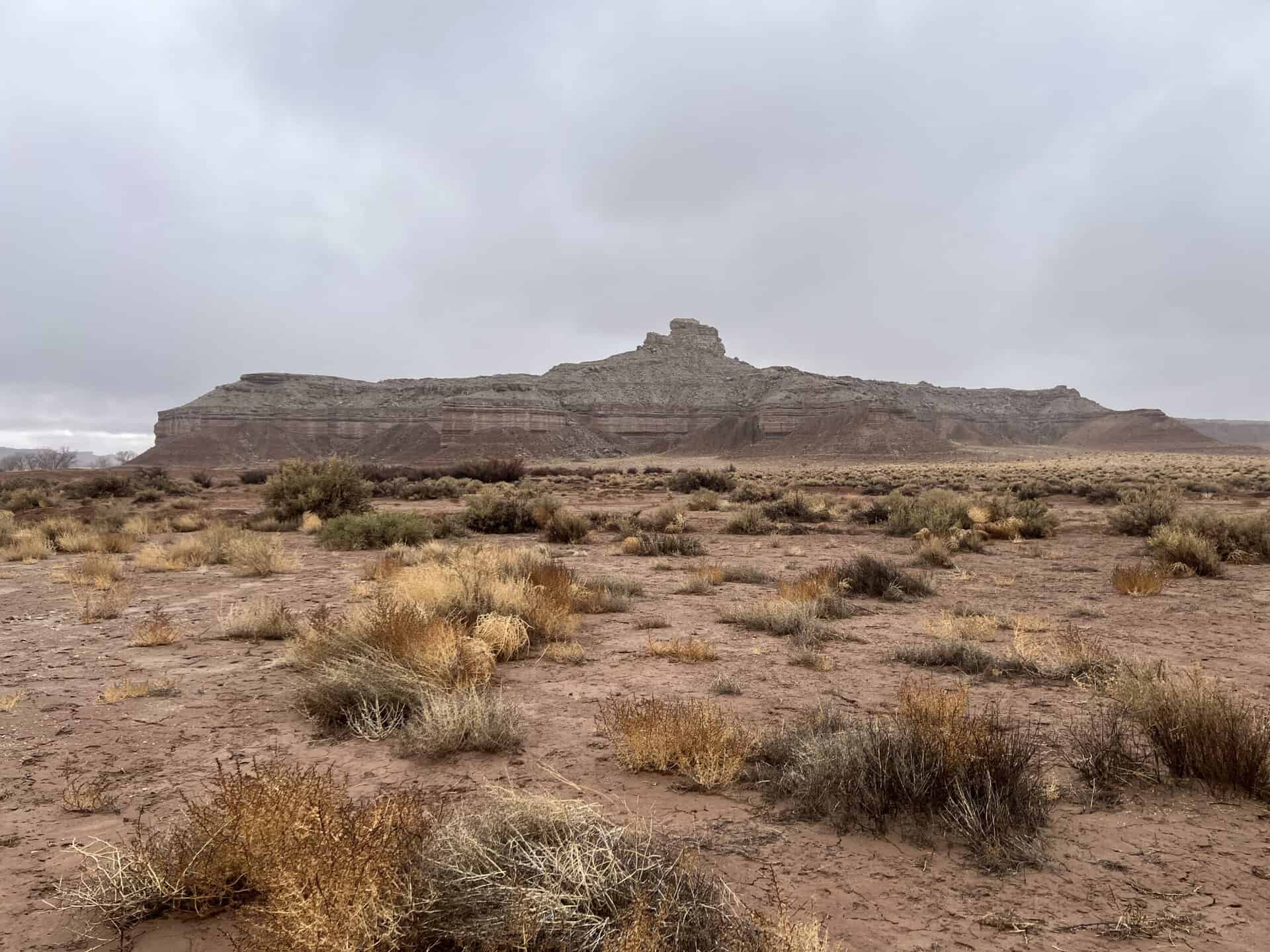
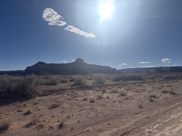
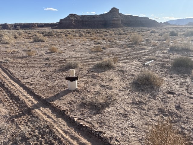
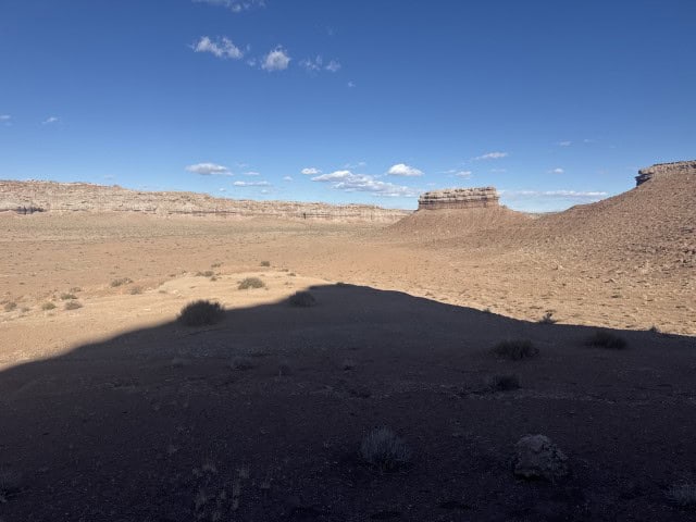
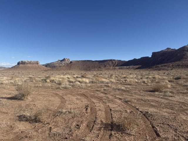
The Lower San Rafael River State Wildlife Area is located to the east of the property. BLM property is to the north and south of the parcel. A small parcel of private property is located to the east. The elevation across the property averages 4,280 feet. Topography is mostly level with undulating contours along the bounding mesa buttes.
Acreage:
260.00 acres, more or less
Water Rights:
No water rights will be conveyed as part of this sale.
Utilities:
Public utilities are not available on site. Power runs along Highway 24, which is about a mile east of the parcel.
Zoning:
MG&R-1: Mining, Grazing, & Recreation
Financing:
Financing will be offered for this parcel at a variable interest rate of prime plus 2.5% or 7.5%, whichever is greater. A down payment of 10% and closing costs will be due at the auction. The remaining balance can be financed for up to a 20 year term.
During the time when the property is being financed (before a patent is issued), the county records will show the property as state trust lands with notices being sent in care of the purchaser. All improvements to the land during the financing period will need approval.
Mineral Lease Encumbrances:
None
Surface Lease Encumbrances:
- Easement No. 2366, issued to Emery County, for Class D roads, for a perpetual term
- Grazing Permit No. 22922-08, issued to Murdock Livestock (the lands which are sold will be deleted from this grazing permit)
- Grazing Permit No. 22922-A08, issued to Rodger Hutchings (the lands which are sold will be deleted from this grazing permit)
- Grazing Permit No. 22922-B08, issued to S and S Ranch, LLC (the lands which are sold will be deleted from this grazing permit)
Cultural Resource Covenant:
A historical and cultural resource survey was conducted on this parcel. No significant sites were identified. The property will be sold without any reservations for cultural or historical resources.
Disclosures:
- Please see the disclosure summary and the certificate of sale template document for general disclosures which apply to all parcels being offered for sale at this auction.
- All mineral rights will be reserved.
- The sand and gravel on the parcel will be subject to a royalty provision if sold commercially.
- The Utah Geological Survey has submitted the following comment: “Potential geologic hazards in the area that could affect the parcel include seasonal and/or flash flooding/debris flow, problem soils including shrink/swell and/or collapsible, shallow bedrock, windblown sand, and indoor radon potential. The prospective buyer should be aware of the potential hazards so they can be addressed in a manner appropriate to the intended use of the property. UGS has general geologic hazard information at its offices and online at http://geology.utah.gov/utahgeo/hazards/index.htm.”
- The property will be conveyed subject to all valid existing rights.

