
Rock Point (PS 8545)
Closing Costs:
These costs cannot be financed and are in addition to the 10% down payment. All closing costs are due from the prevailing bidder at the auction.
| Appraisal Costs: | $ 1,000.00 |
| Cultural Resources Survey: | N/A |
| Paleontological Resources Survey | $ 2,000.00 |
| Legal Advertising Cost: | $ 498.00 |
| Sale Processing Charge: | $ 500.00 |
| Application Fee: | $ 250.00 |
| TOTAL CLOSING COSTS: | $4,248.00 |
Legal Description:
Township 4 South, Range 21 East, SLB&M
Section 4: SW¼SE¼
Location:
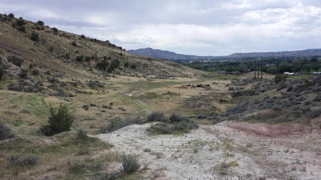
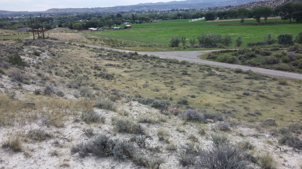
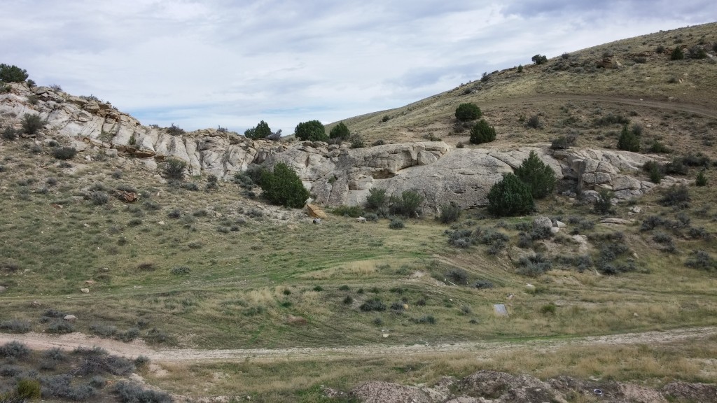
This property is located just five minutes from downtown Vernal, approximately three miles to the northwest of town and one mile southwest of Steinaker Reservoir. The southeastern portion of the property is dominated by a large ridge which offers great views of Vernal and the surrounding landscape. The remainder of the property consists of some relatively flat areas and more gentle slopes along with small hills and rocky ridges. Vegetation on the property consists mainly of grasses and sagebrush with some pinyon-juniper trees. Elevation ranges from 5,600′ to 5,700′. The property is bordered on all sides by privately-owned lands.
Access:
There is public access to the property via 2100 West, which is a paved Uintah County Class B road.
Acreage:
40.00 acres, more or less
Water:
There are no water rights associated with this property.
Utilities:
Utilities are located within the vicinity of the property. Potential buyers should contact the appropriate utility provider in order to determine the availability of any utility service to the property.
Zoning:
The current zoning for this property is Mining & Grazing (MG-1). The minimum lot size for a dwelling under this zoning is five acres.
Financing:
Financing will be offered for this parcel. A down payment of 10% and closing costs will be due at the auction. The remaining balance can be financed at a variable rate of prime plus 2.5% for a 20 year term.