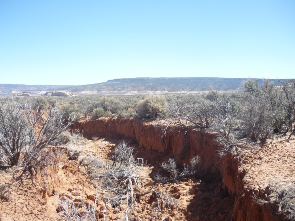

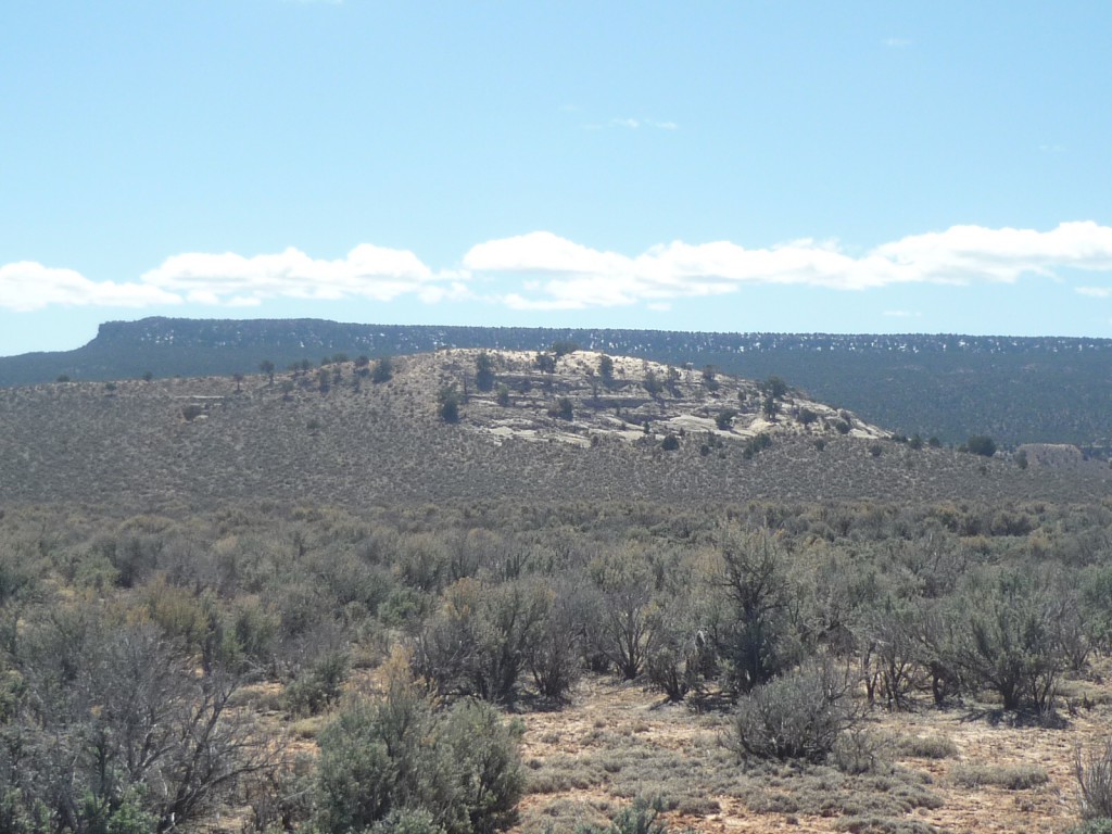
Photograph Gap-Parcel C (PS 8384)
Closing Costs:
These costs cannot be financed and are in addition to the 10% down payment. All closing costs are due from the prevailing bidder at the auction.
| Appraisal Costs: | $2,700.00 |
| Cultural Resources Survey: | $3,000.00 |
| Legal Advertising Cost: | $500.00 |
| Sale Processing Charge: | $500.00 |
| Application Fee: | $250.00 |
| TOTAL CLOSING COSTS: | $6,950.00 |
Legal Description:
Township 31 South, Range 23 East, SLB&M
Section 27: S½SW¼, NW¼SW¼, S½SW¼NW¼
Section 34: NW¼NW¼
Location:
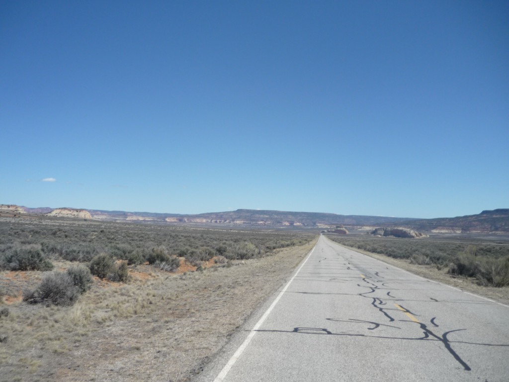
This parcel is located approximately 10 miles north of the city of Monticello, Utah, and approximately 35 miles south of the city of Moab. The property sits on the road going to the spectacular Canyonlands National Park, approximately 2 miles from the turnoff from HWY 191.
Access:
There is a State HWY (HWY211) accessing the subject parcel.
Directions to the property are as follows:
- Go on HWY 191 to the Canyonlands turnoff (HWY 211).
- Turn on HWY 211.
- Go west on HWY 211 approximately 2 miles (Just before the 2nd Cattle Guard).
- The majority of the property sits to the south of HWY 211.
Other:
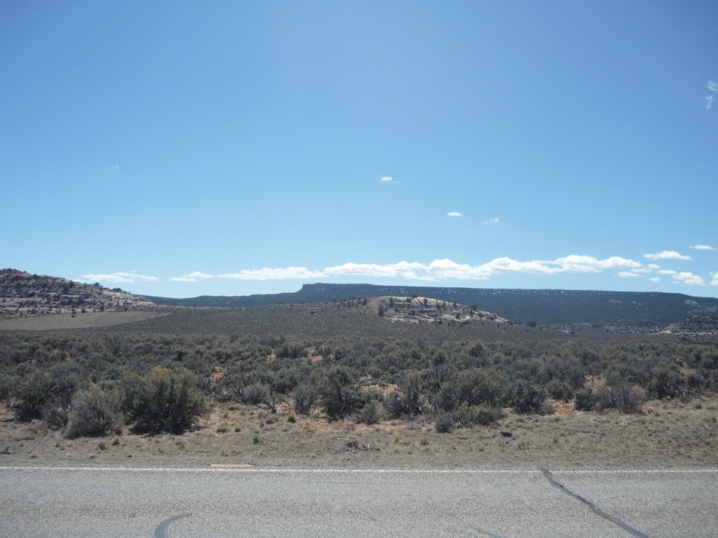
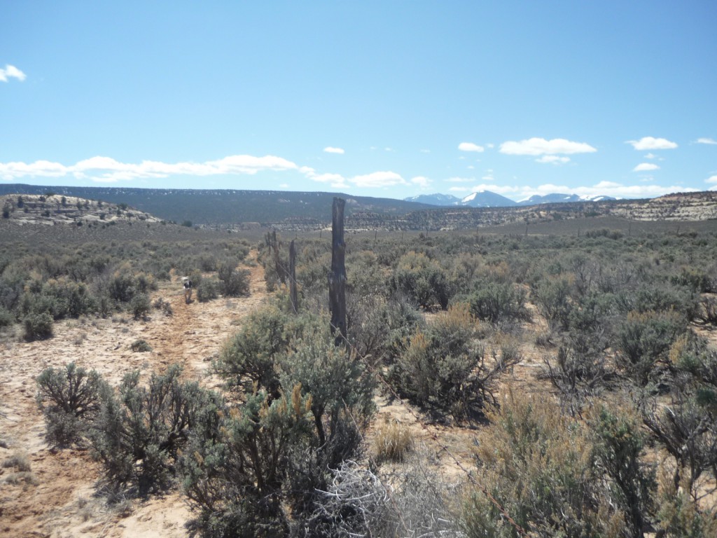
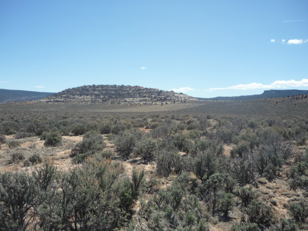
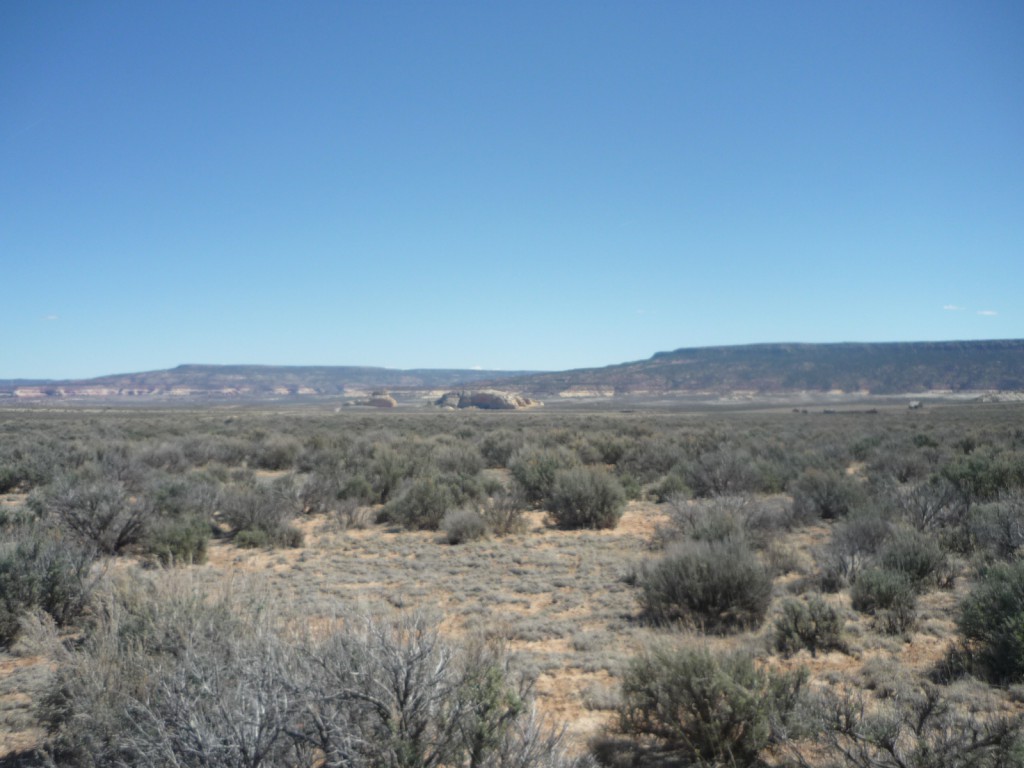
The elevation for this parcel of land ranges from 6,200 to 6,400 feet. The topography is generally flat except for a large red rock monolith located in the southern part of property. The monolith sits on approximately 30 acres of the subject property. The vegetation consists of sage brush and some native grasses. This parcel is bordered on the north by more trust land, and on the west, east, and south by some private land. This area is remote and offers good agricultural opportunities along with recreational and residential opportunities.
Acreage:
180.00 acres, more or less
Water:
No water rights have been established on the property.
Utilities:
No utilities are on site. The nearest power utilities are one mile to the east along HWY 191. The nearest public water and sewer utilities are 10 miles south in Monticello. Permits for a water well and septic system can be applied for at the county court house located in the city of Monticello.
Zoning:
The parcel is zoned A-1 Agricultural. Further information on zoning may be obtained from San Juan County.
Financing:
Financing will be offered for this parcel. A down payment of 10% and closing costs will be due at the auction. The remaining balance can be financed at a variable rate of prime plus 2.5% for a 20 year term.
Mineral Leases:
- Mineral Lease No. 53165, issued to Par Five Exploration, LLC for oil, gas, and associated hydrocarbons.
Surface Leases:
- Easement No. 2065, issued to San Juan County for roads for a perpetual term
- Predesignation No. 840, issued to the Utah Department of Transportation for Highway 211 for a perpetual term
- Grazing Permit No. 20461-10, issued to Robinson Livestock, Inc (if sold, this land will be deleted from the grazing permit)
- Grazing Permit No. 21206-13, issued to Karl & Larue Barton Trust (if sold, this land will be deleted from the grazing permit)
Disclosures:
- Please see the auction page for general disclosures and auction procedure information which pertains to all properties being offered at the auction.
- The property will be conveyed subject to all valid existing rights.
- A cultural resource survey was conducted on the subject property. The property will be sold subject to the site(s) which were identified.
- All minerals, including the sand and gravel are reserved to Trust Lands Administration.
- Other disclosures, if any, will be announced at the auction.

