


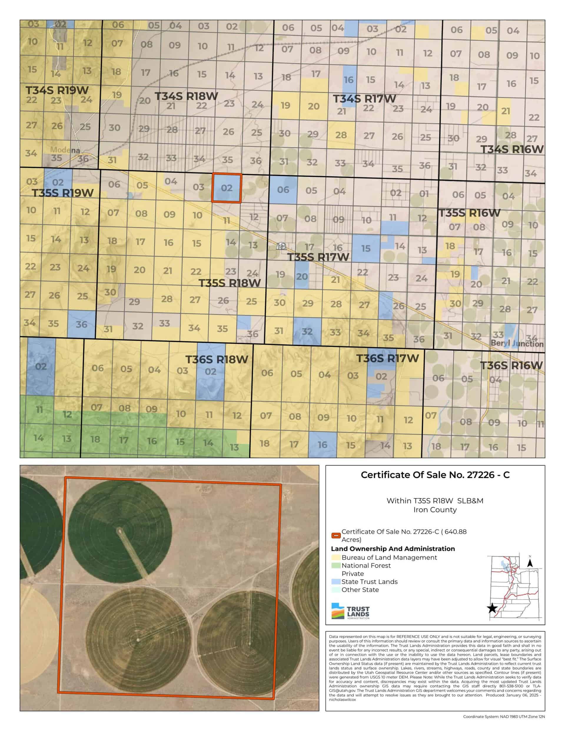
Modena – Parcel C (C-27226-C)
What are trust lands?
Trust lands are parcels of land granted by Congress to Utah at statehood to support specific beneficiaries, including public schools, universities, hospitals, and reservoirs. Trust lands are not public lands, but are generally open for public use, when possible. Trust lands were allocated specifically to generate revenue to support our beneficiaries. SITLA currently manages 3.3 million surface acres on behalf of our beneficiaries.
ONLINE BIDDING INFORMATION:
To register as a bidder or to place a bid, please see box to the right.
Bid Start Time for this Parcel: Thursday, April 24, 2025 – Time: 9:20am MDT
Bid End Time for this Parcel: Tuesday, April 29, 2025 – Time: 10:20am MDT
CLOSING COSTS:
The closing costs are expenses incurred to prepare the property for sale. A large portion of the costs is for the completion of a cultural resource survey, which is required by law.
These costs are in addition to the 10% down payment. All closing costs are due from the winning bidder within 24 hours after completion of the auction and cannot be financed.
TOTAL CLOSING COSTS FOR THIS PARCEL: $4,447
Beneficiary:
The net proceeds from the sale of this property will be deposited into the permanent fund for the beneficiary of Public Schools.
Legal Description:
Township 35 South, Range 18 West, SLB&M
Section 2: All
Location:
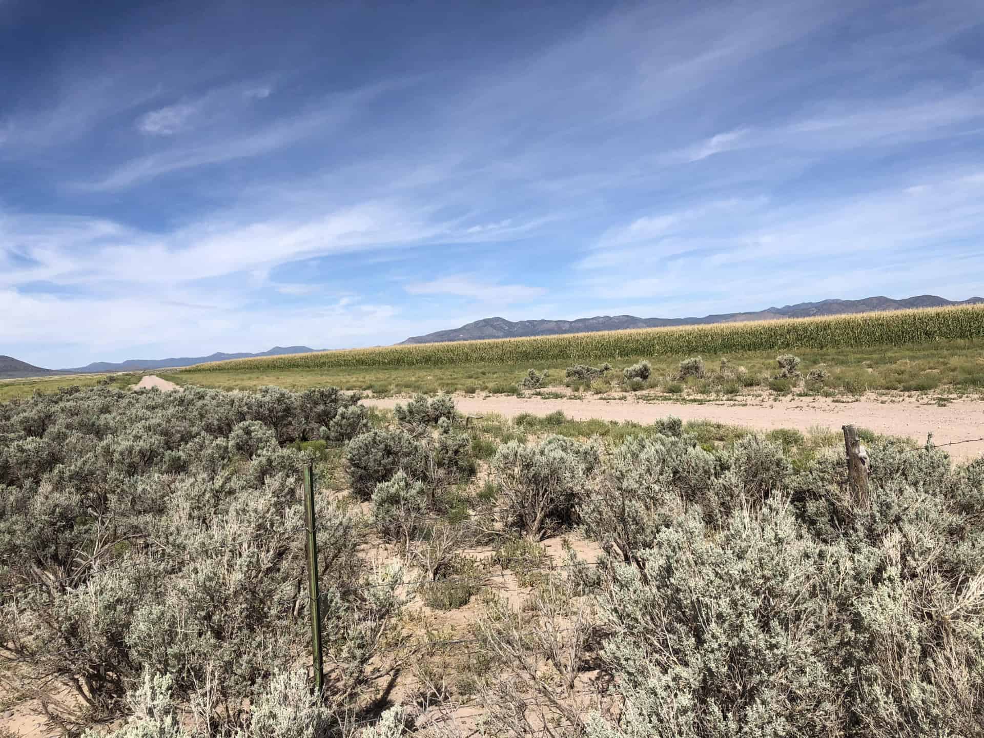
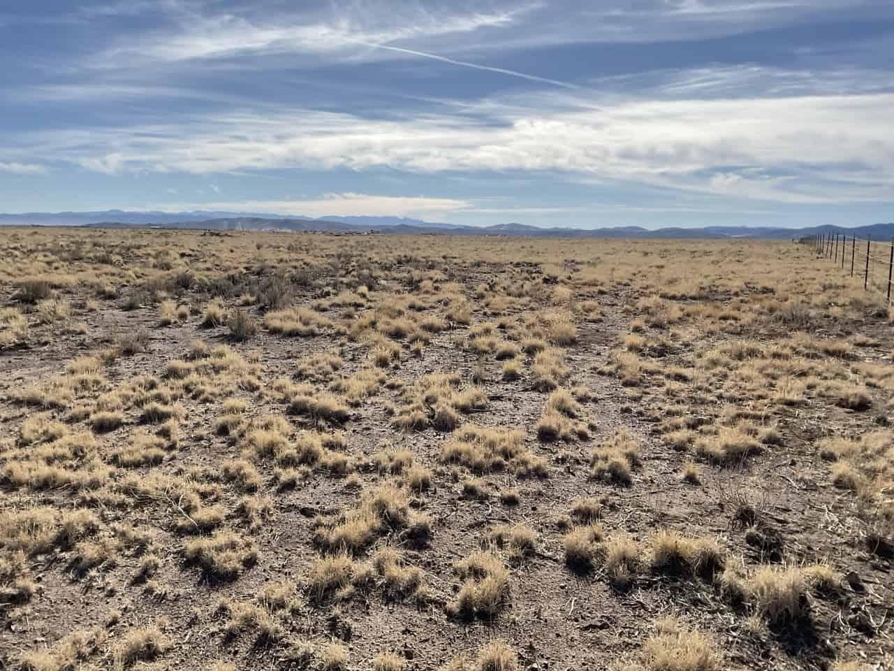
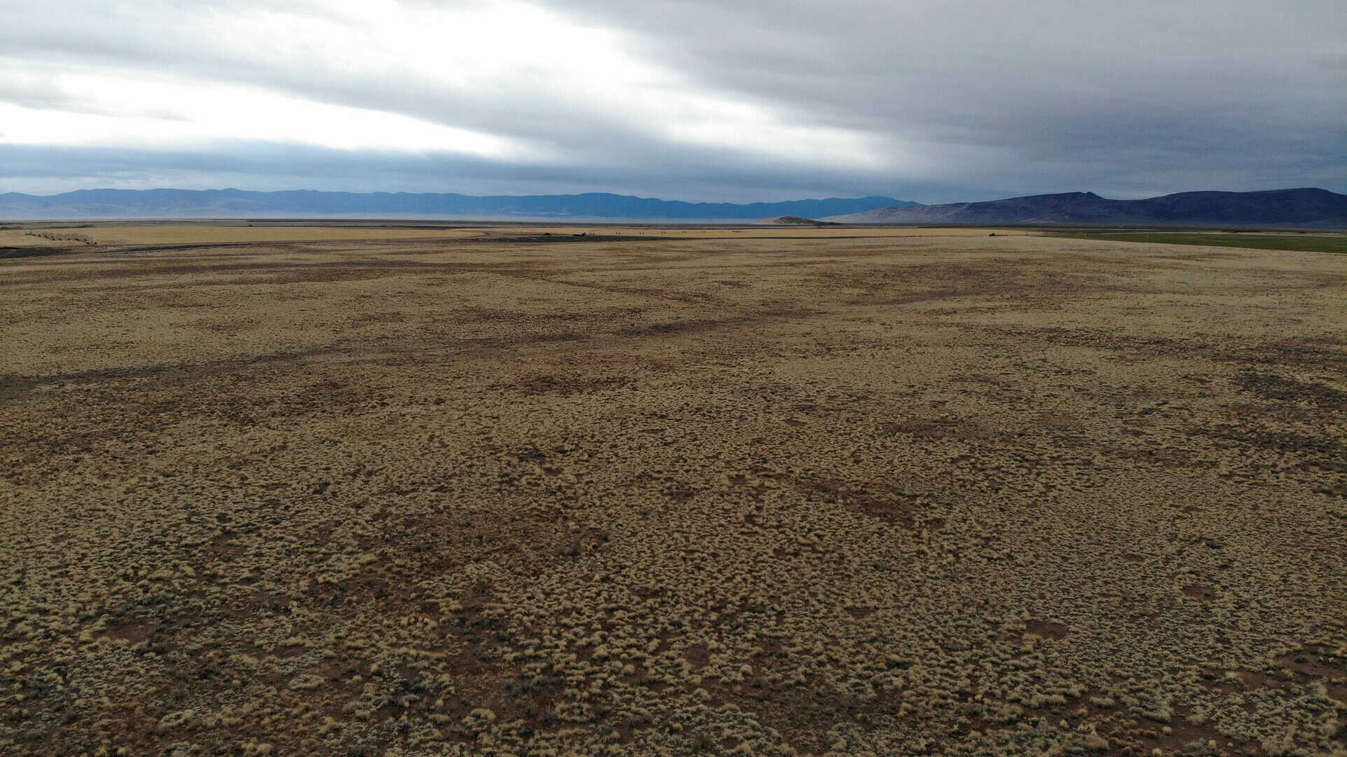
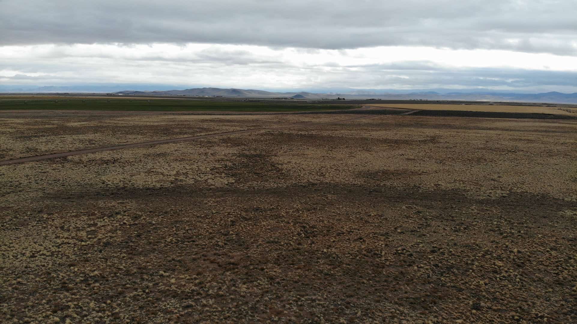
The property is located in Western Iron County, to the west of Beryl and east of the town of Modena.
Access:
Well-maintained gravel roads access the property.
Additional Information:
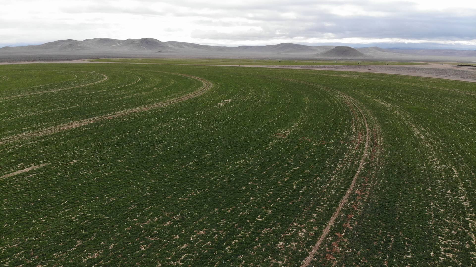
This property is currently leased for agricultural purposes. All pivots, water rights, and other improvements for agriculture are owned by the lessee and will not be included with the property. The topography of the property is level to gentle sloping. The parcel is surrounded by private property.
Acreage:
640.88 acres, more or less
Water Rights:
No water rights will be sold with this property
Utilities:
Power is located on the property, but no other utilities are available.
Zoning:
A-20 (agricultural land requiring a 20-acre minimum lot size)
Financing:
Financing will be offered for this parcel at a variable interest rate of prime plus 2.5% or 7.5%, whichever is greater. A down payment of 10% and closing costs will be due at the auction. The remaining balance can be financed for up to a 20 year term.
During the time when the property is being financed (before a patent is issued), the county records will show the property as state trust lands with notices being sent in care of the purchaser. All improvements to the land during the financing period will need approval.
Mineral Lease Encumbrances:
None
Surface Lease Encumbrances:
- Easement No. 2269, issued to South Central Communications for a fiber optic line, with an expiration date of August 14, 2049;
- Special Use Lease No. 646, issued to Holt Farms LLC for agricultural purposes, with an expiration date of December 31, 2039 (when the property is sold, this lease will be terminated, effective December 31, 2025); and,
- Grazing Permit No. 22434-23, issued to Holt Farms LLC (this permit will be cancelled when the property is sold).
Cultural Resource Covenant:
A historical and cultural resource survey was conducted on this parcel. No significant sites were identified. The property will be sold without any cultural reservations.
Disclosures:
- Please see the disclosure summary and the certificate of sale template document for general disclosures which apply to all parcels being offered for sale at this auction.
- All mineral rights will be reserved.
- The sand and gravel on the parcel will be subject to a royalty provision if sold commercially.
- The Utah Geological Survey has submitted the following comment: “Potential geologic hazards in the area that could affect the parcel include seasonal and/or flash flooding, ground subsidence from groundwater withdrawal, problem soils including shrink/swell and/or collapsible, windblown sand, and indoor radon potential. The prospective buyer should be aware of the potential hazards so they can be addressed in a manner appropriate to the intended use of the property. UGS has general geologic hazard information available at its offices and online at http://geology.utah.gov/utahgeo/hazards/index.htm.”
- The property will be conveyed subject to all valid existing rights.

