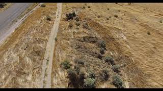
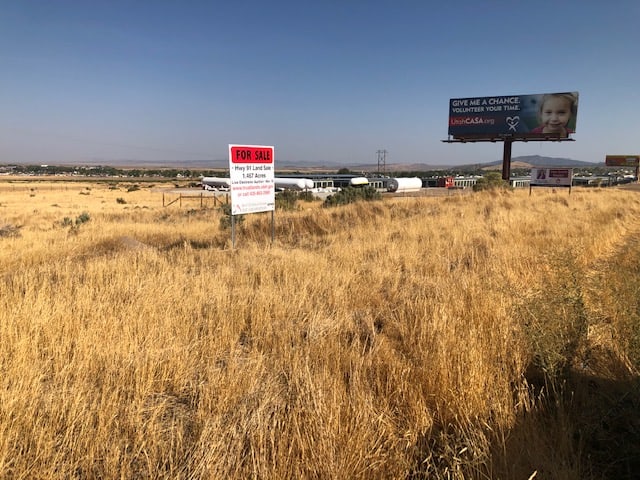

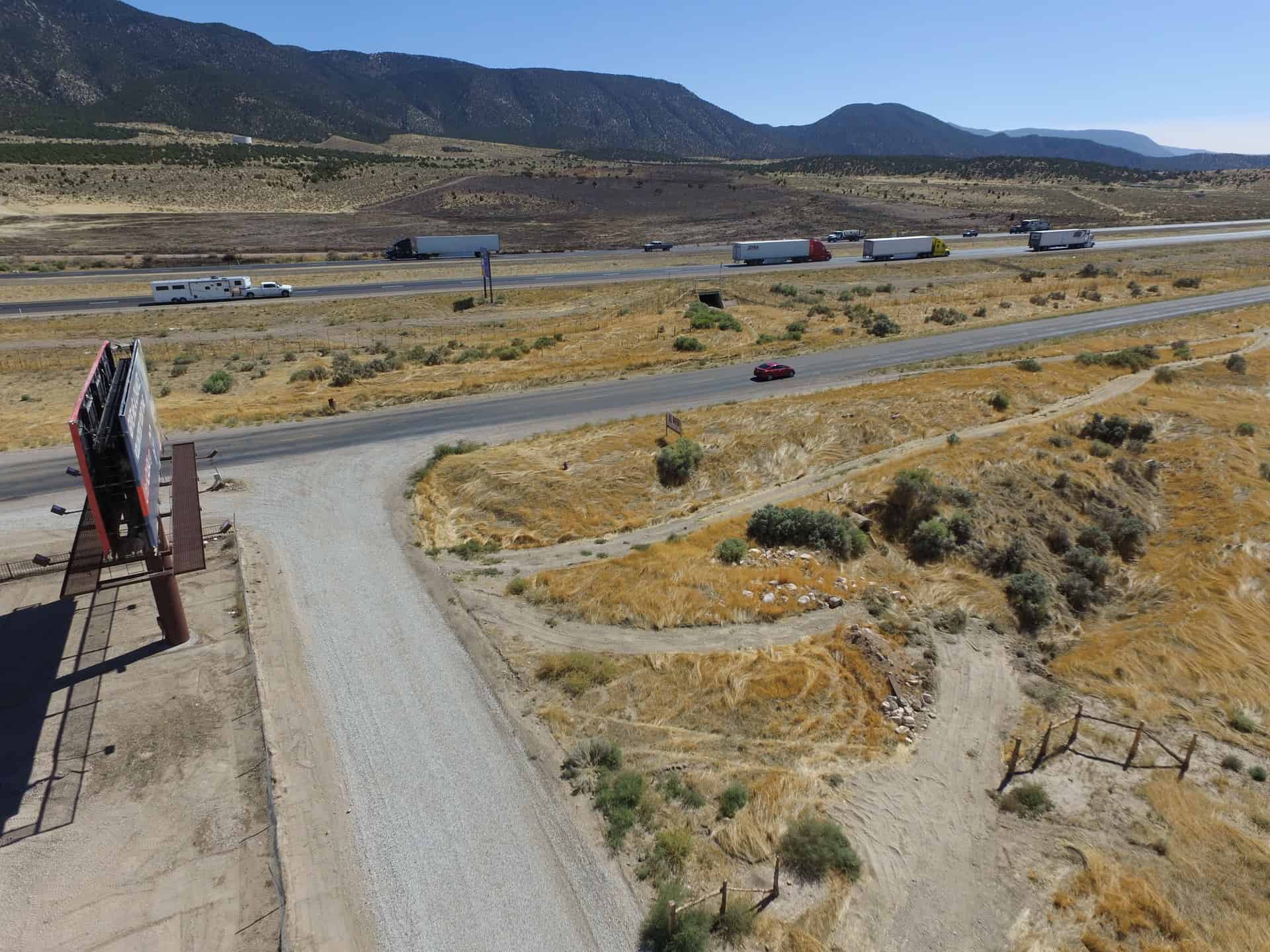
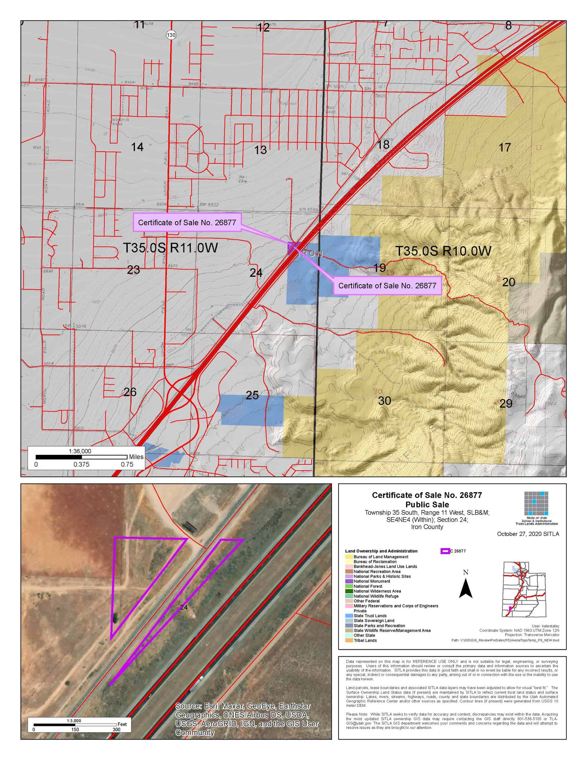

Highway 91 (C-26877)
ONLINE BIDDING INFORMATION:
Bid Start Time for this Parcel: 9:30am (June 9, 2021)
Bid End Time for this Parcel: 2:30pm (June 15, 2021)
Closing Costs:
The closing costs are in addition to the 10% down payment. The cultural resources survey costs may be financed, upon approval. All other closing costs are due from the prevailing bidder at the auction and cannot be financed.
| Appraisal Costs: | $0.00 |
| Cultural Resources Survey: | $0.00 |
| Land Survey Cost: | $1,200.00 |
| Legal Advertising Cost: | $200.00 |
| Sale Processing Charge: | $500.00 |
| Application Fee: | $250.00 |
| TOTAL CLOSING COSTS: | $2,150.00 |
Beneficiary:
The net proceeds from the sale of this property will be deposited into the permanent fund for the beneficiary of Public Schools.
Legal Description:
Township 35 South, Range 11 West, SLB&M
Section 24: NW4NW4SE4NE4 (Within) (See Survey Map for Metes & Bounds)
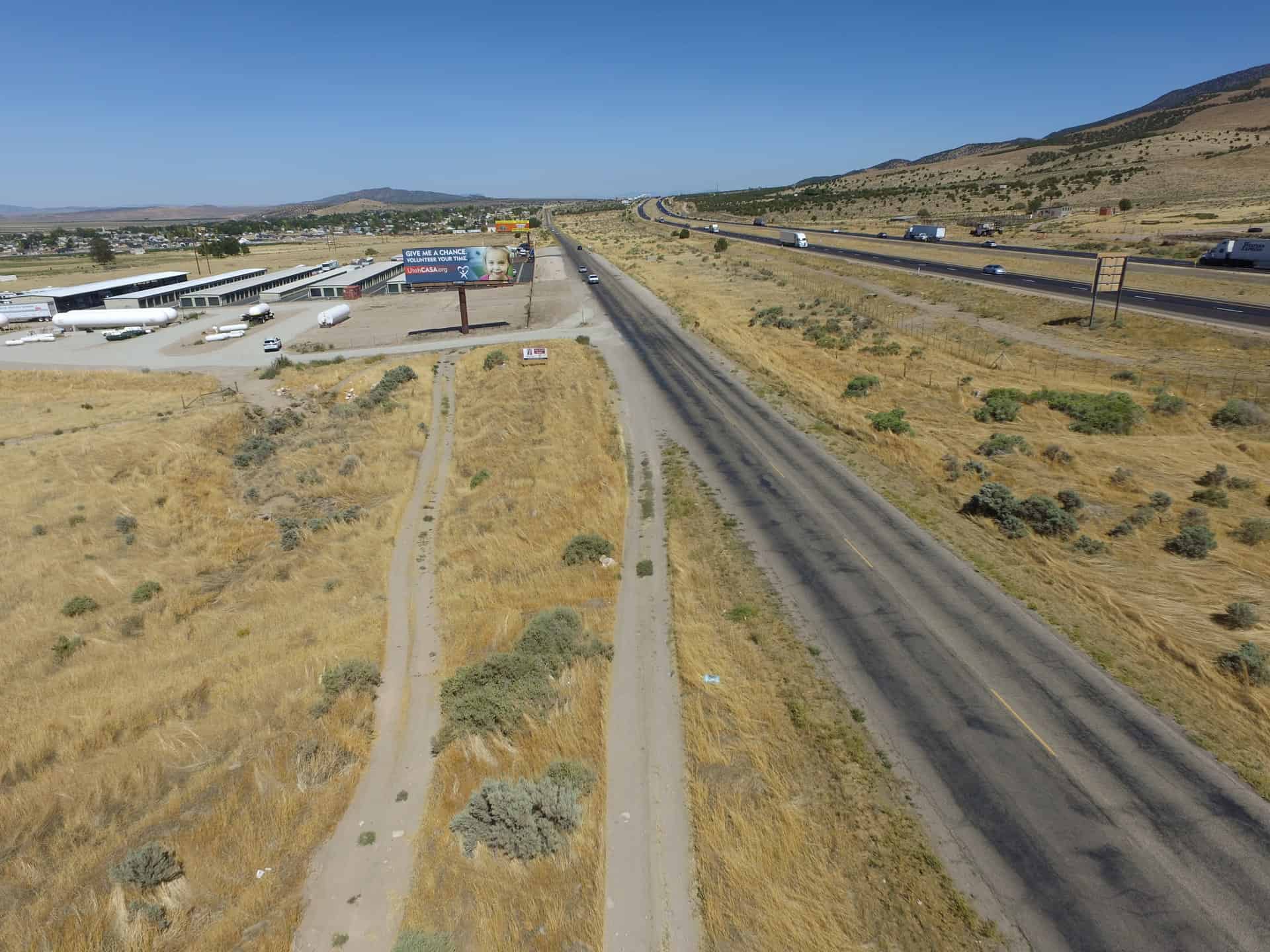
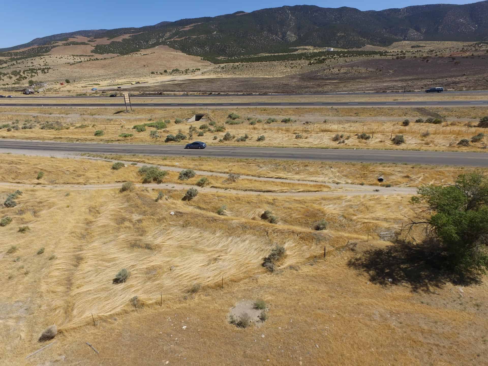
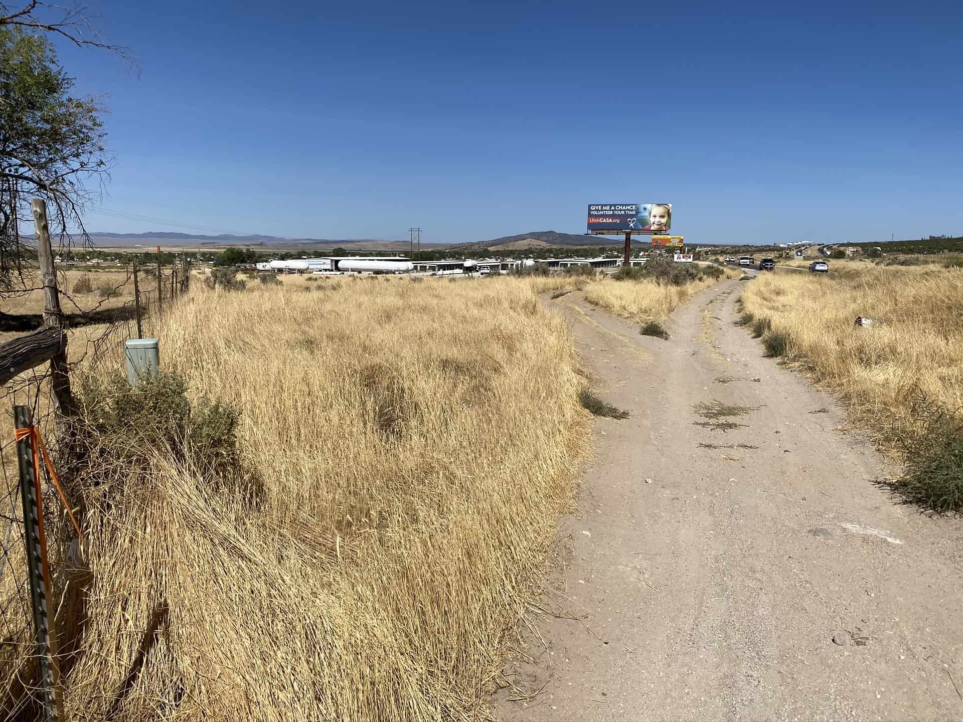
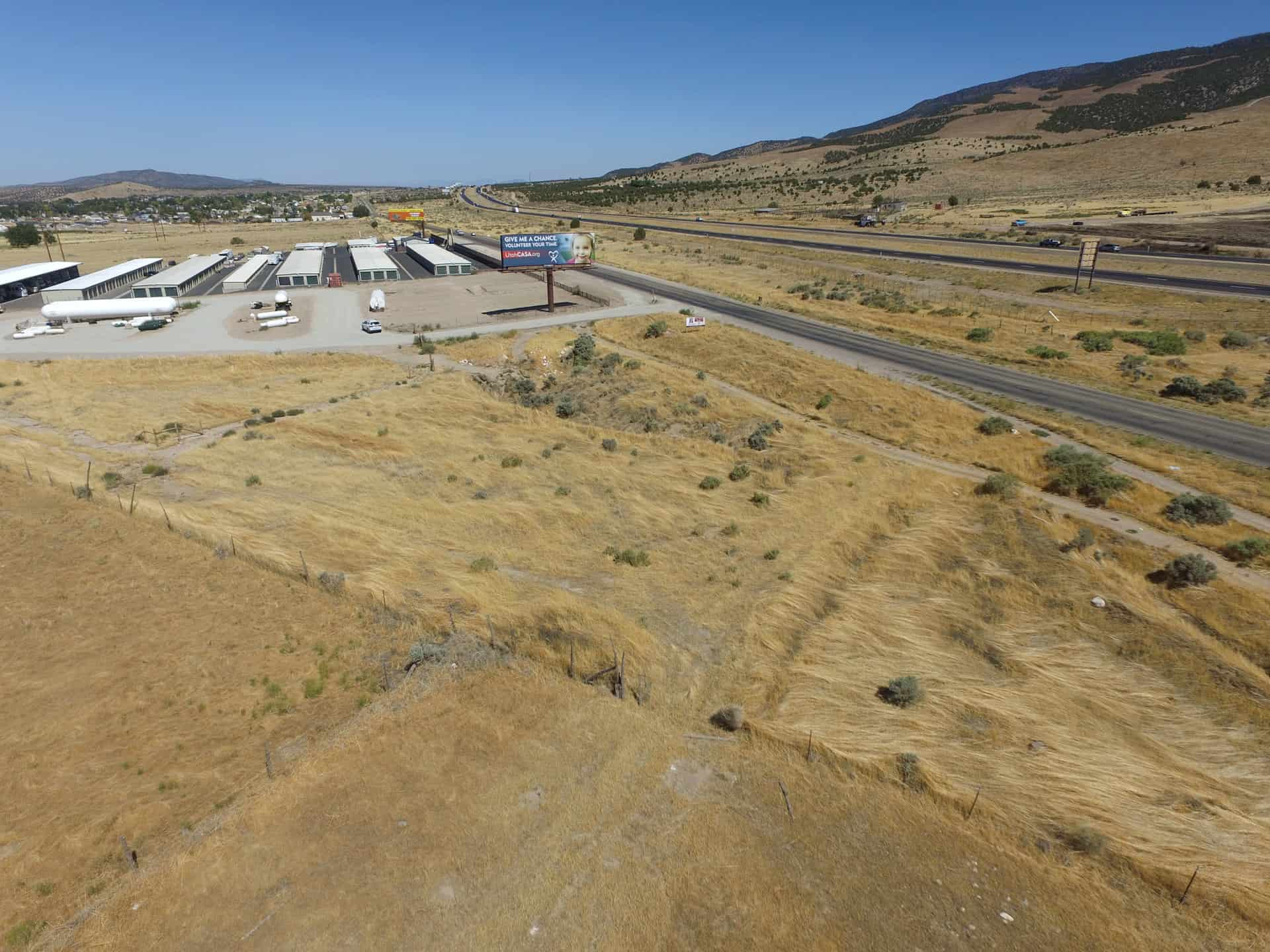
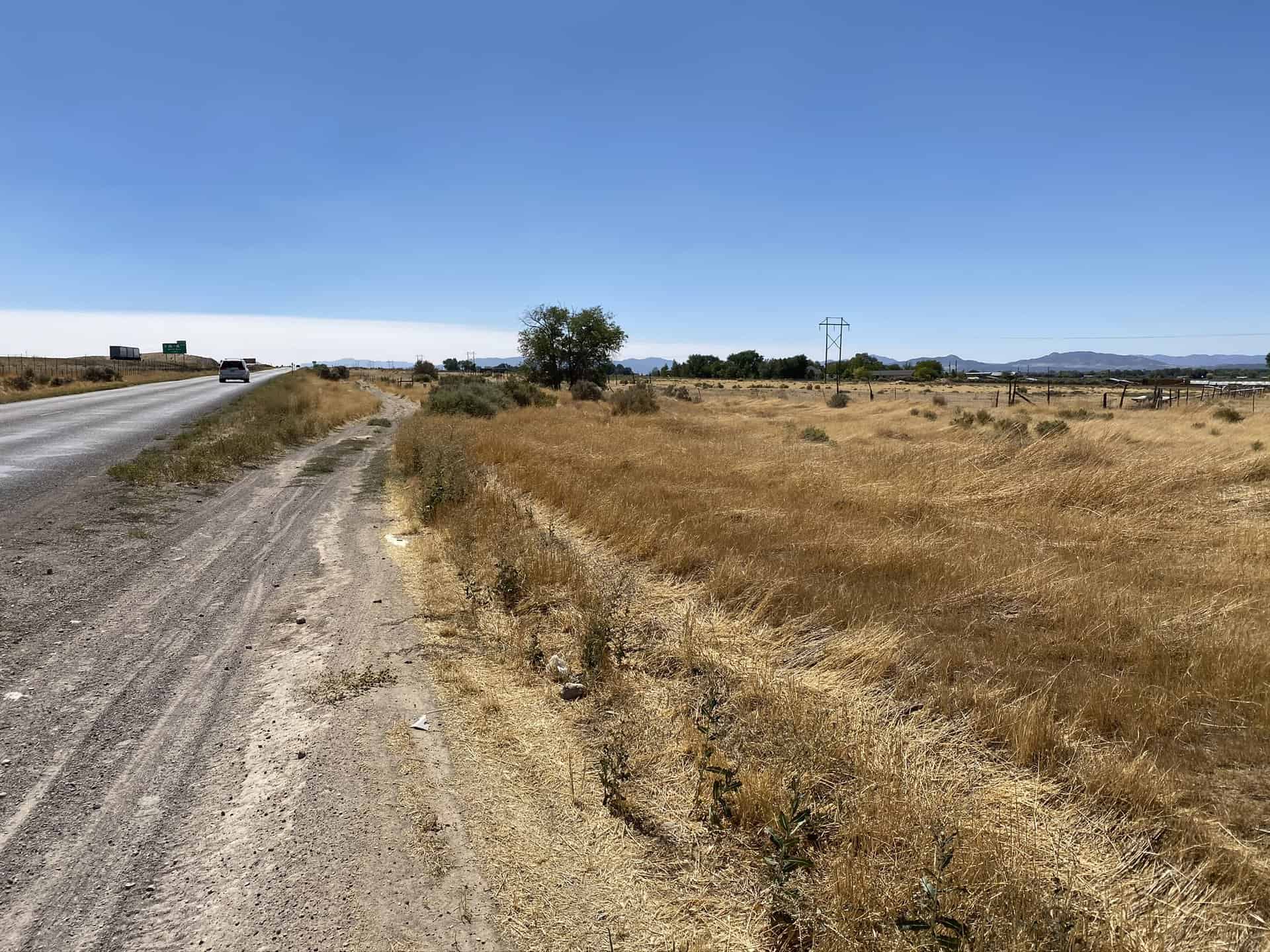
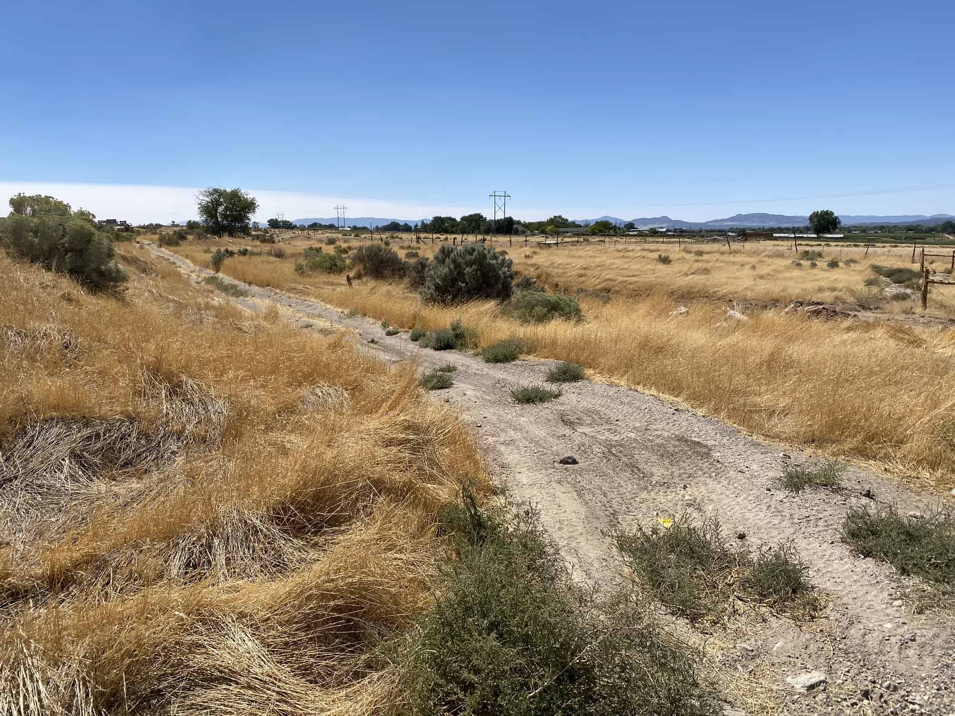
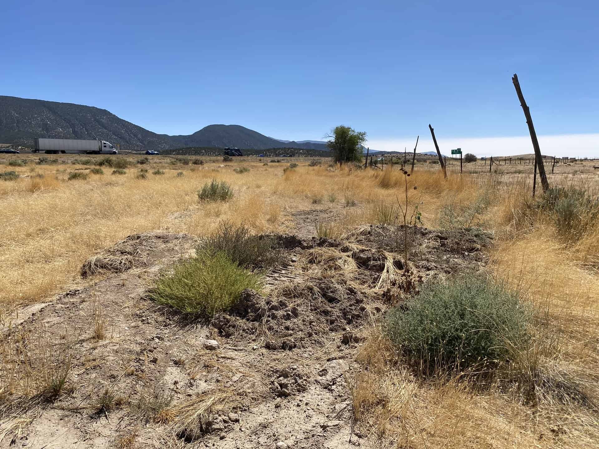
Location:
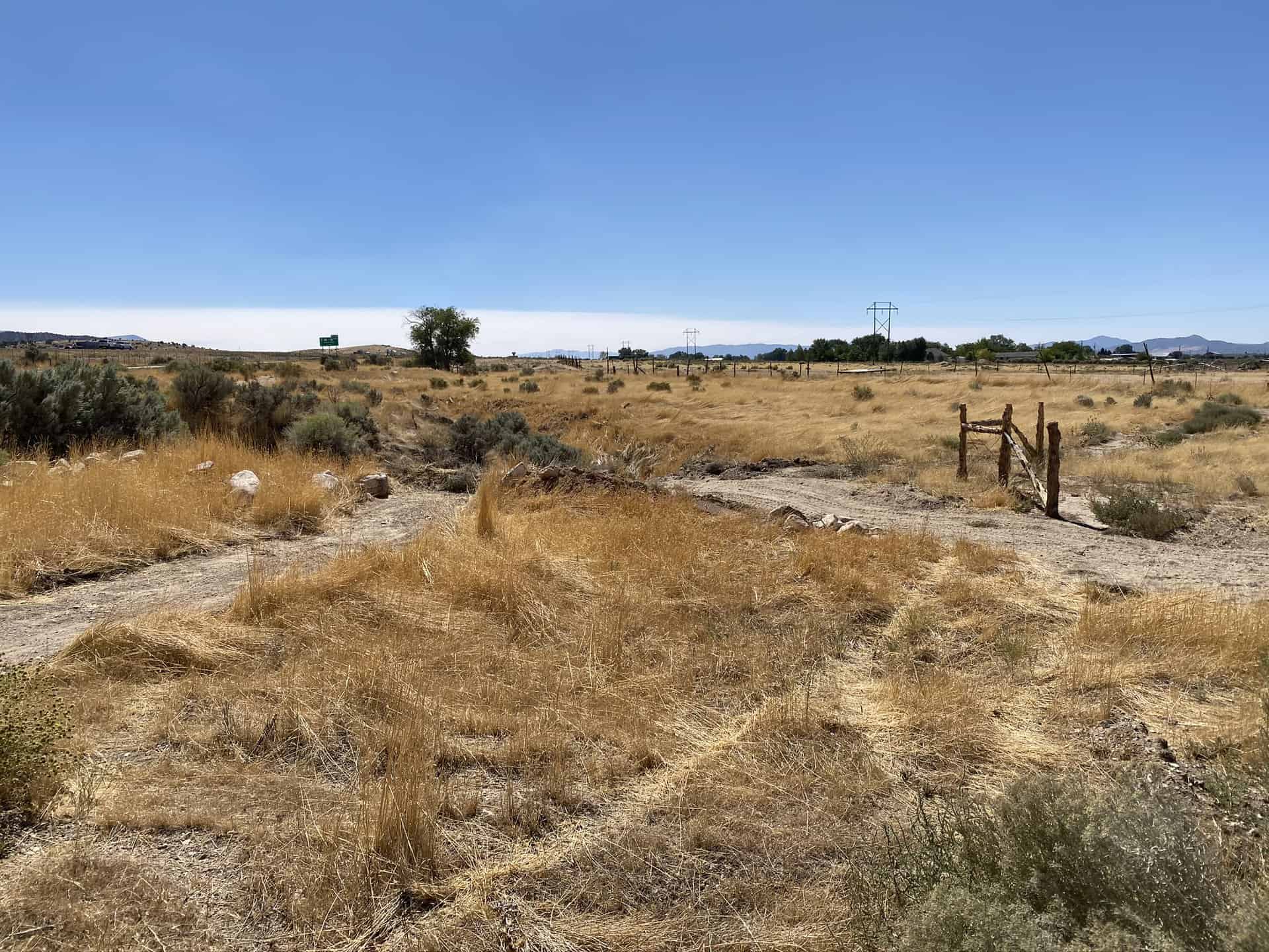
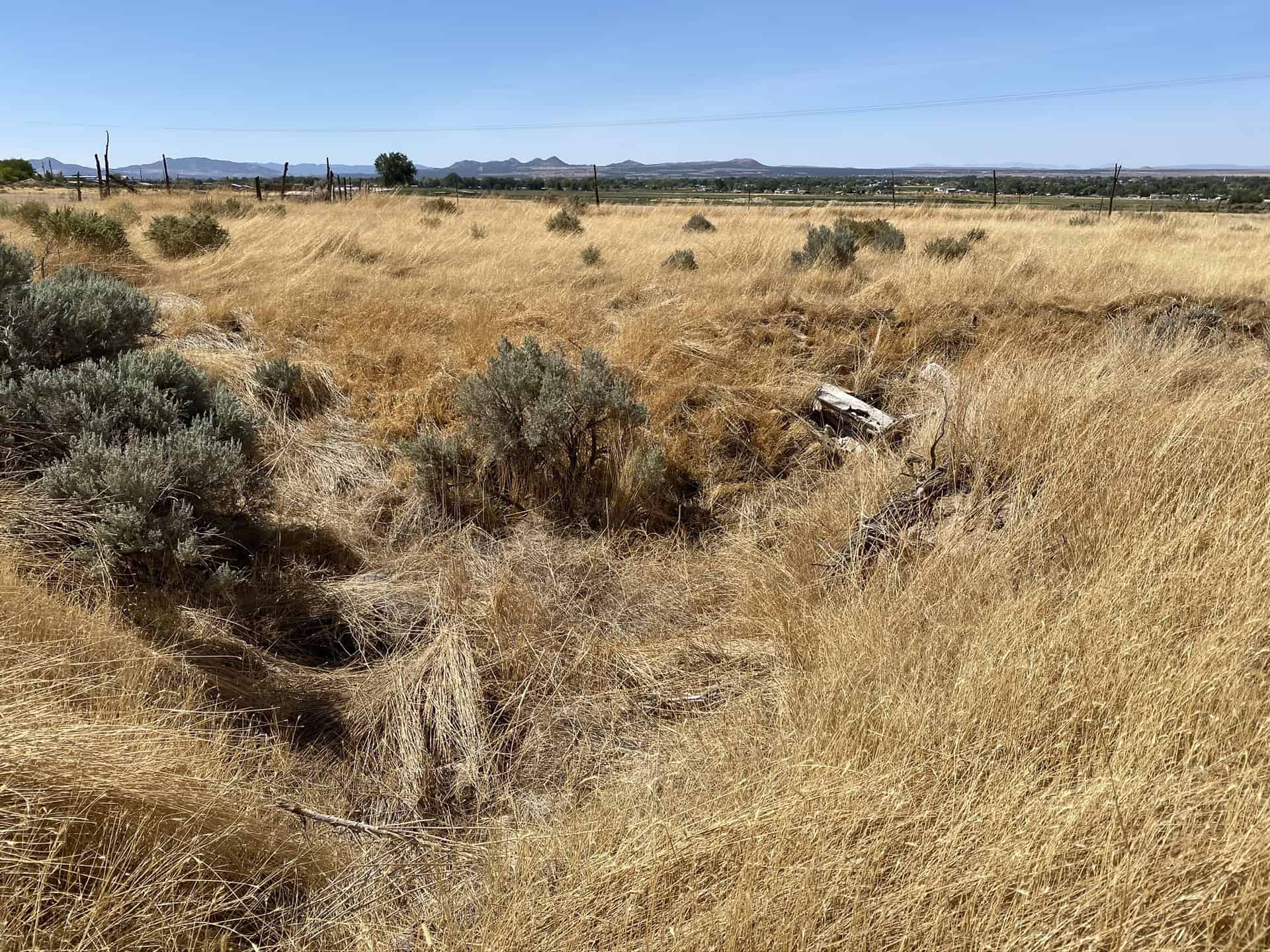
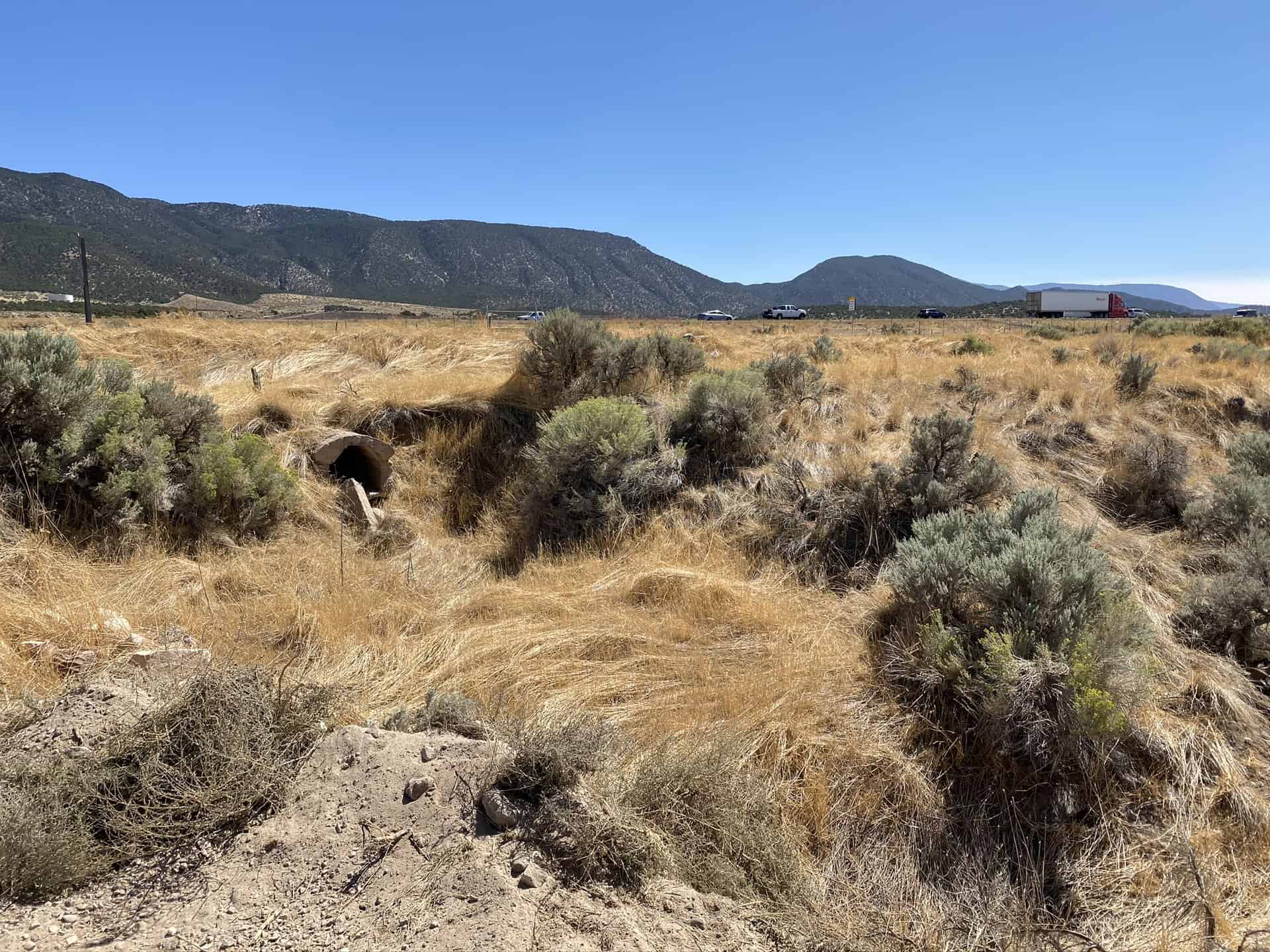
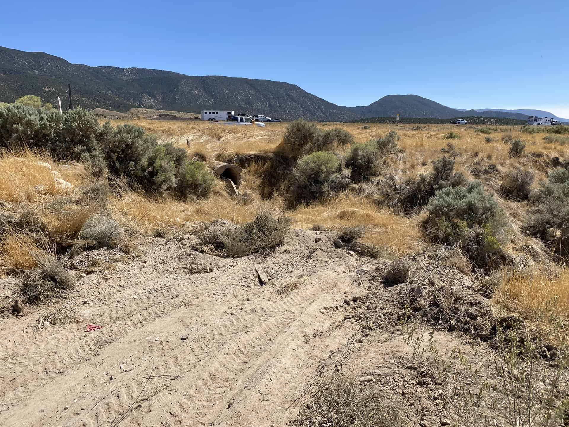
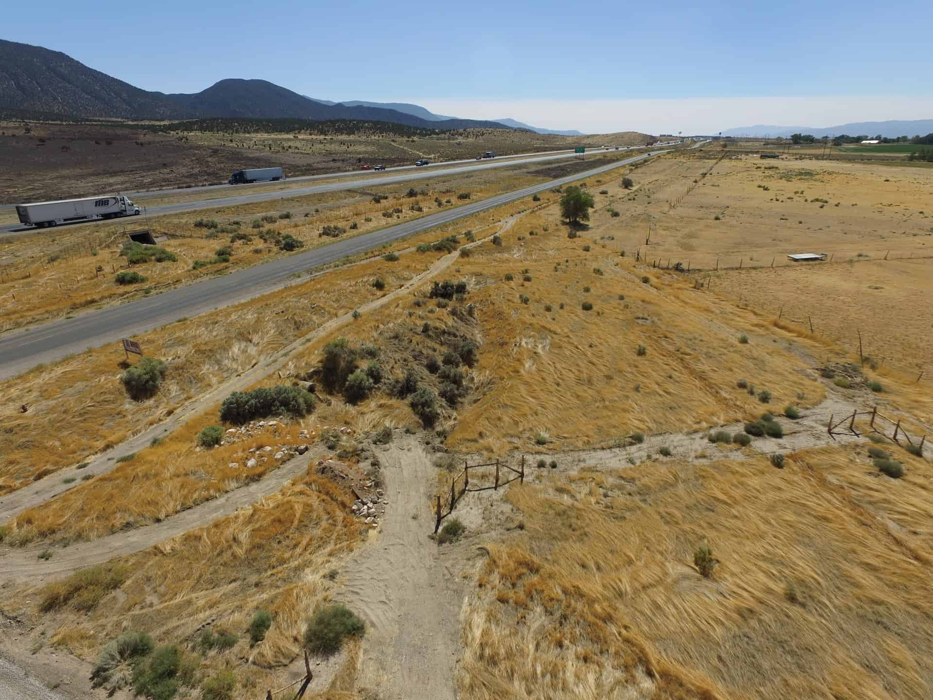
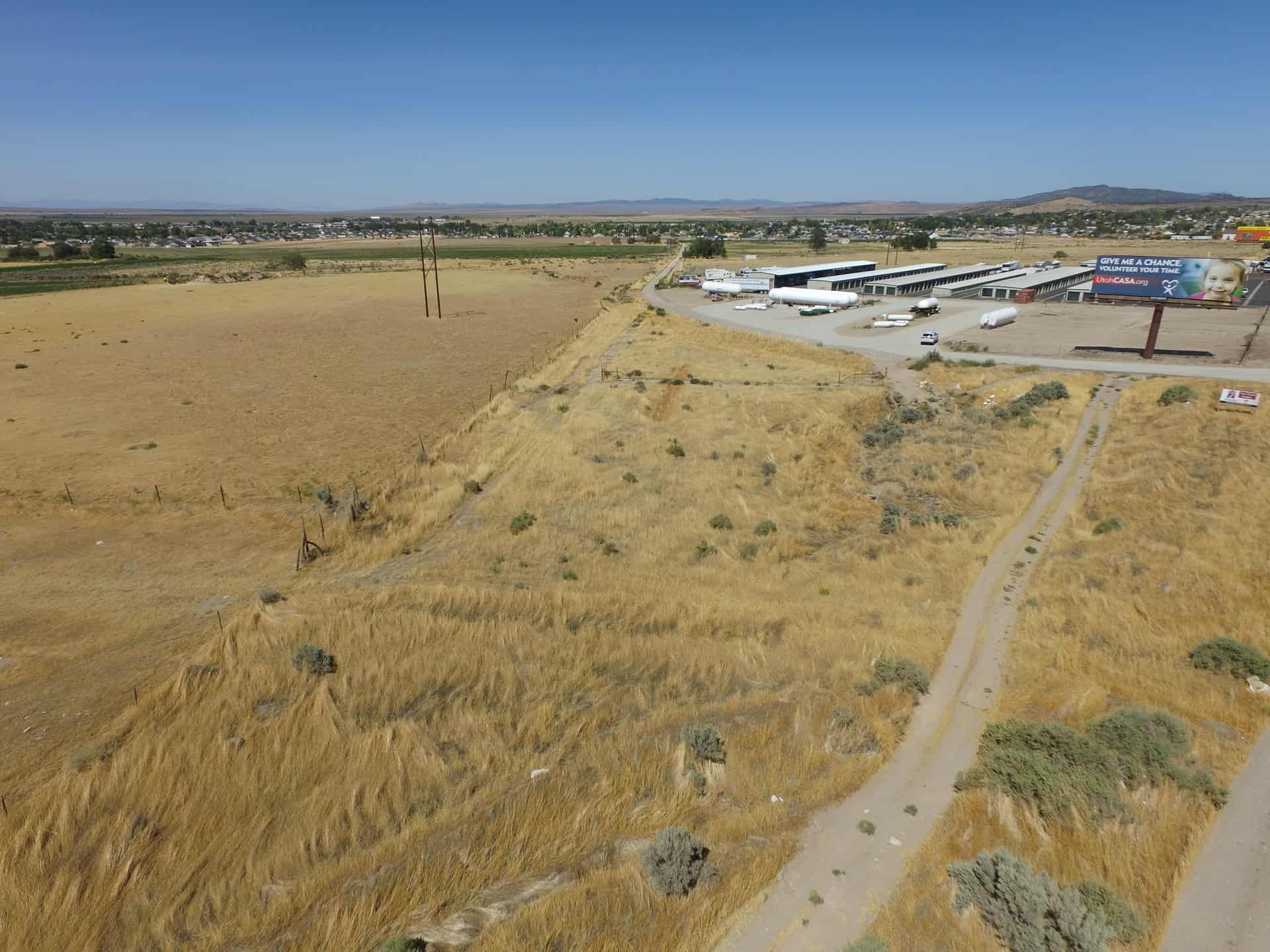
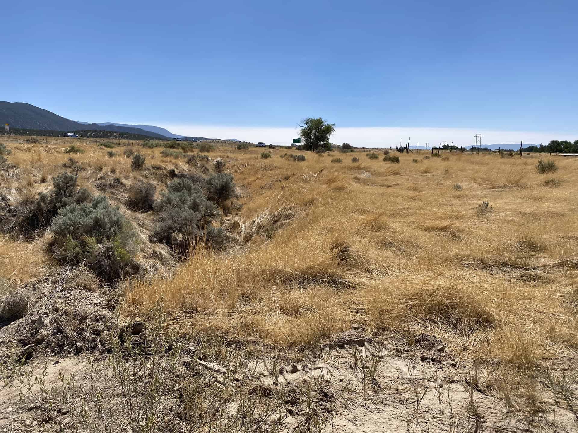
The parcel is located approximately 1 mile north of Cedar City, along Highway 91.
Access:
Access is from Highway 91, which runs along the southeastern edge of the property.
Additional Information:
This remnant parcel is divided by Old Highway 91 and is currently open vacant land.
Acreage:
1.47 Acres, More or Less
Water Rights:
None
Utilities:
Utilities are adjacent to the property.
Zoning:
C-C (Community Commercial)
Financing:
Financing will be offered for this parcel. A down payment of 10% and closing costs will be due at the auction. The remaining balance can be financed for up to a 20 year term.
Mineral Leases:
None
Surface Leases:
- Right of Way No. 184, issued to Utah Department of Transportation (UDOT) for Highway 91 for a perpetual term
- Right of Way No. 2982, issued to Enoch City Corporation for a culinary water line for a perpetual term
- Grazing Permit No. 23030-12, issued to the Adams Brothers (this acreage will be deleted from the permit upon sale of the property)
- Range Improvement Project No. 791, issued to the Adams Brothers (this acreage will be deleted from the permit upon sale of the property)
Cultural Resource Covenant:
A cultural resource survey was conducted on this property. No significant sites were located. The property will be sold without any cultural resource reservations.
Disclosures:
- Please see the disclosure summary and the certificate of sale template document posted at the bottom of this page for general disclosures which apply to all parcels being offered for sale at this auction.
- All mineral rights, including the sand and gravel rights will be reserved.
- The property will be conveyed subject to all valid existing rights.
- The following comments was received from the Utah Geological Survey (UGS): Potential geologic hazards in the area that could affect the parcel include flash flooding/debris flow, problem soils including shrink/swell and/or collapsible, earthquake hazards associated with the Hurricane fault, and indoor radon potential. Potential hazards should be addressed in a manner appropriate to the intended use of the property. UGS has general geologic hazard information available at our offices and online at http://geology.utah.gov/utahgeo/hazards/index.htm.

