
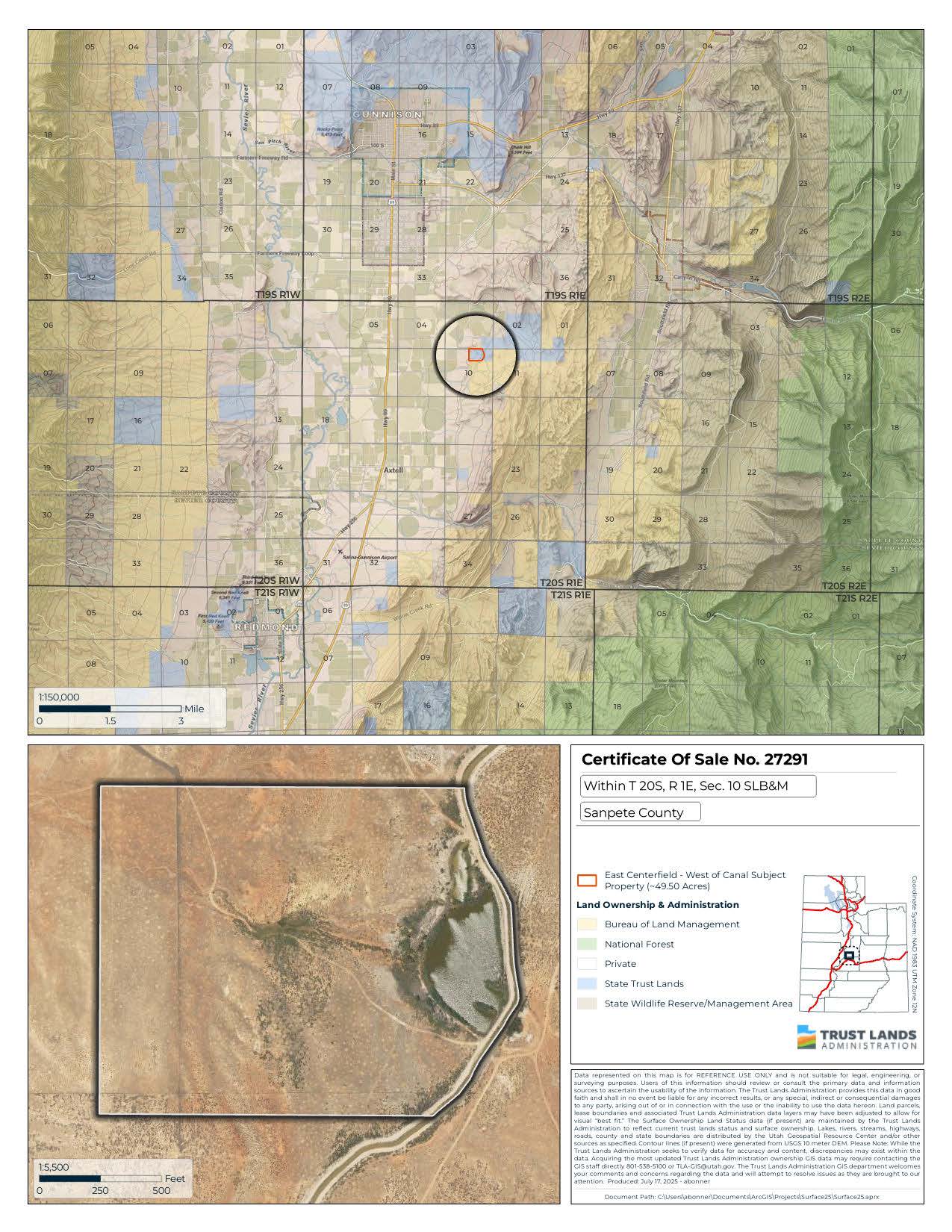
East Centerfield (C-27291)
What are trust lands?
Trust lands are parcels of land granted by Congress to Utah at statehood to support specific beneficiaries, including public schools, universities, hospitals, and reservoirs. Trust lands are not public lands, but are generally open for public use, when possible. Trust lands were allocated specifically to generate revenue to support our beneficiaries. SITLA currently manages 3.3 million surface acres on behalf of our beneficiaries.
ONLINE BIDDING INFORMATION:
To register as a bidder or to place a bid, please see box to the right.
Bid Start Time for this Parcel: November 13, 2025 @ 10:30am MST
Bid End Time for this Parcel: November 18, 2025 @ 10:30am MST
CLOSING COSTS:
The closing costs are expenses incurred to prepare the property for sale. A large portion of the costs is for the completion of a cultural resource survey, which is required by law.
These costs are in addition to the 10% down payment. All closing costs are due from the winning bidder within 24 hours after completion of the auction and cannot be financed.
TOTAL CLOSING COSTS FOR THIS PARCEL: $6,285
Beneficiary:
The net proceeds from the sale of this property will be deposited into the permanent fund for the beneficiary of Normal Schools.
Legal Description:
Township 20 South, Range 1 East, SLB&M
Section 10: NW¼NE¼, portions west of the Highland Canal (NE¼NE¼)
(a land survey was completed for this parcel)
Location:
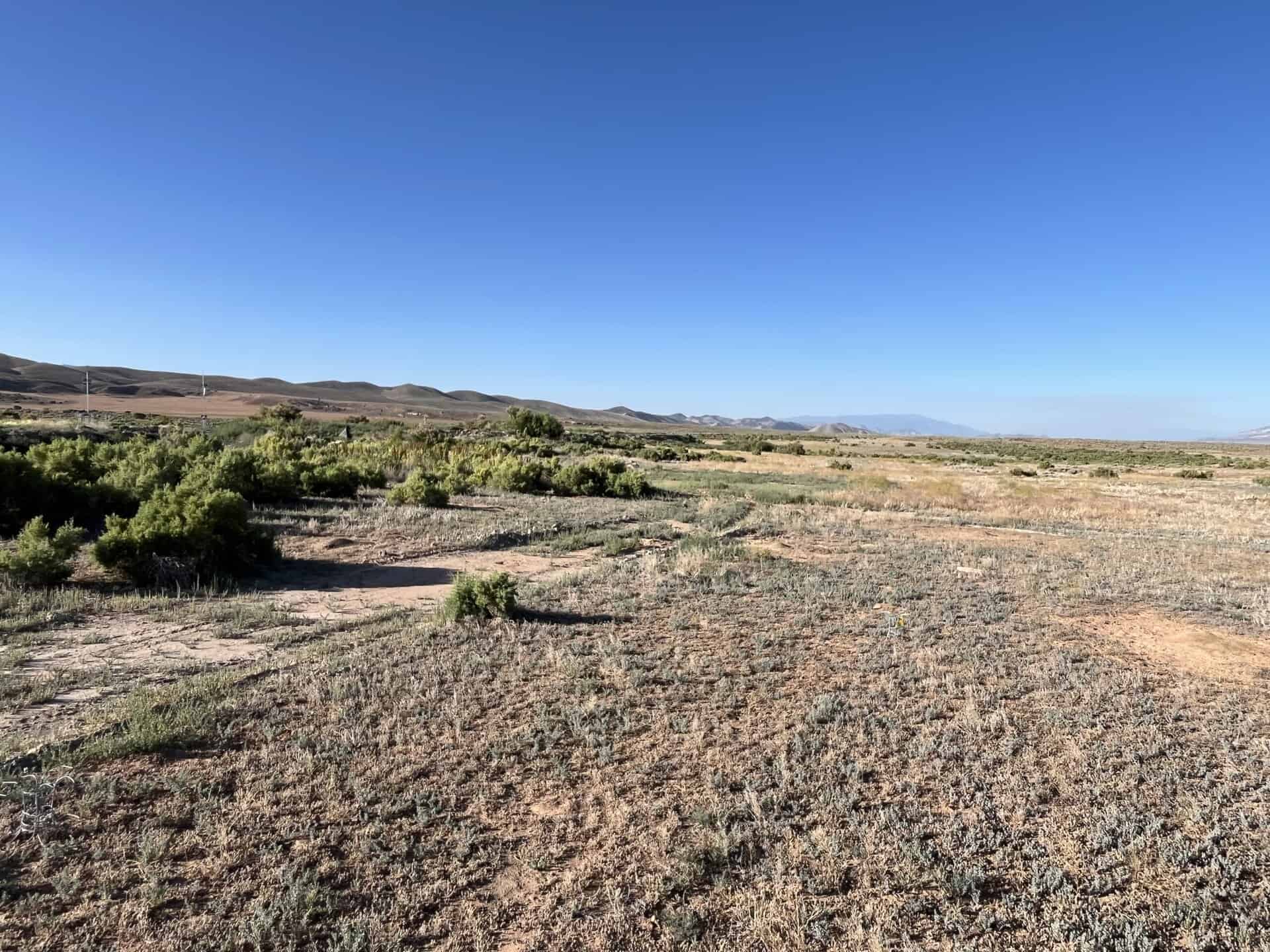
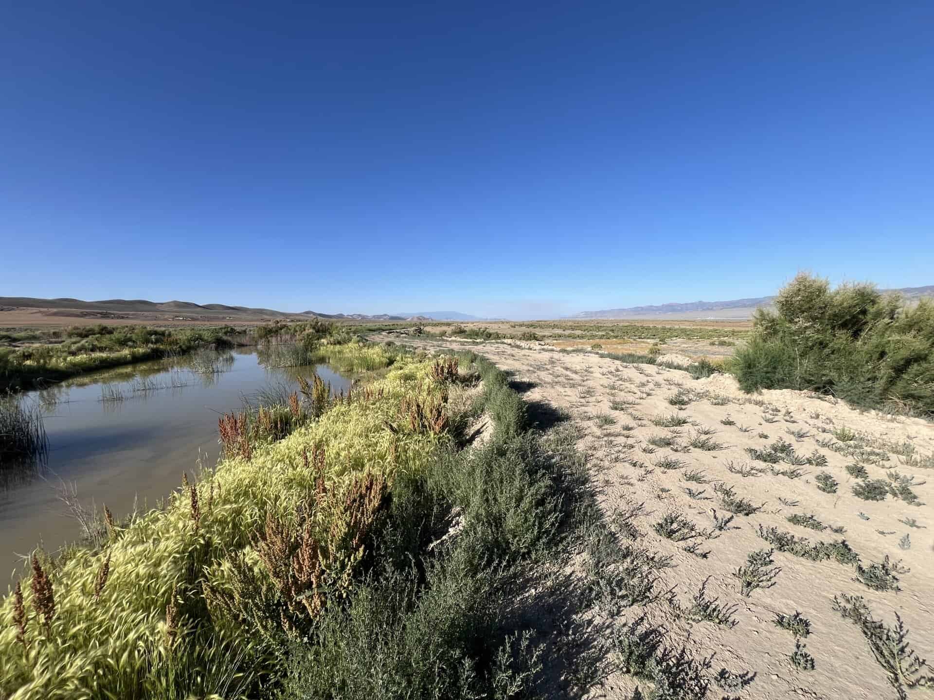
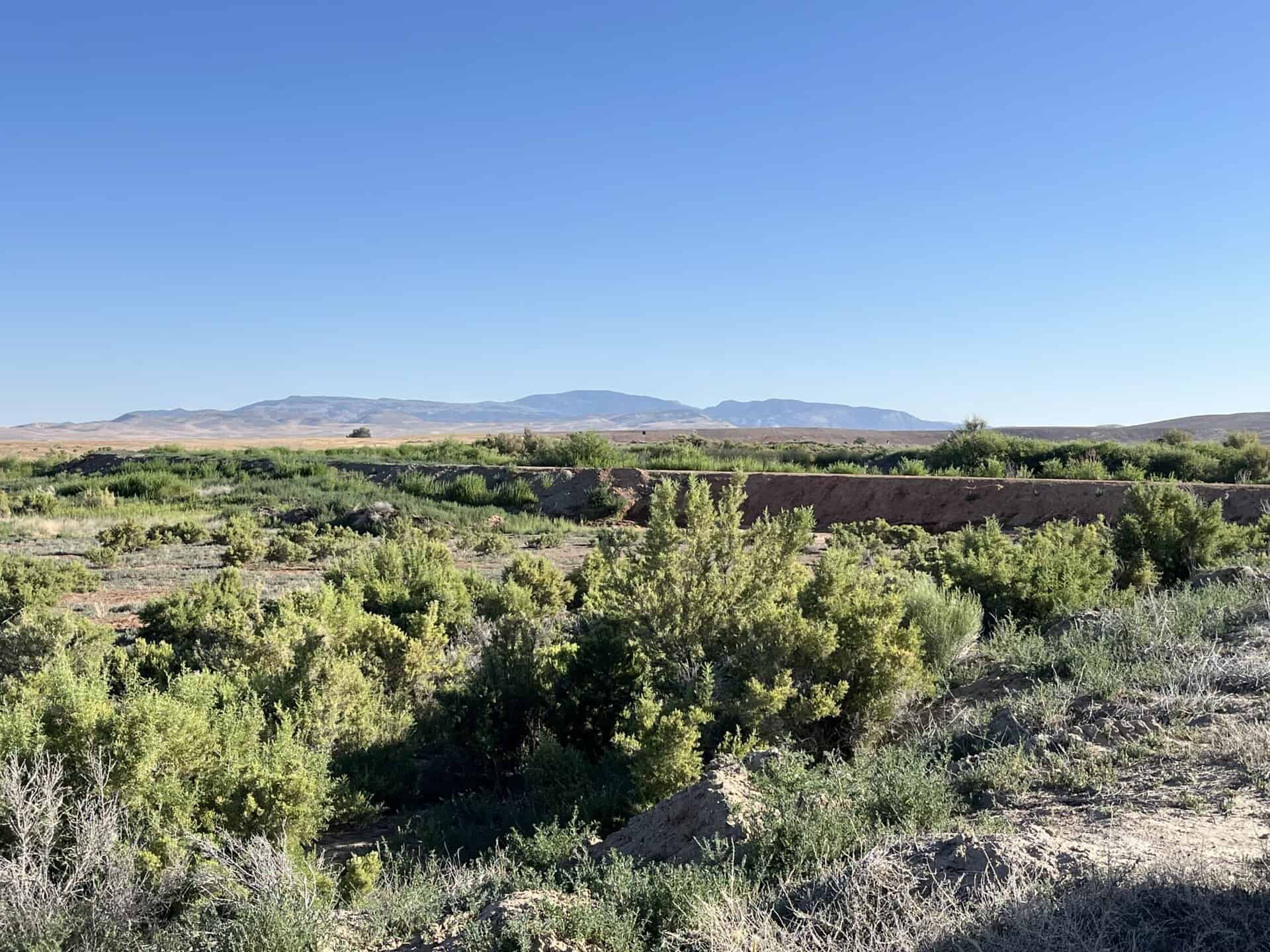
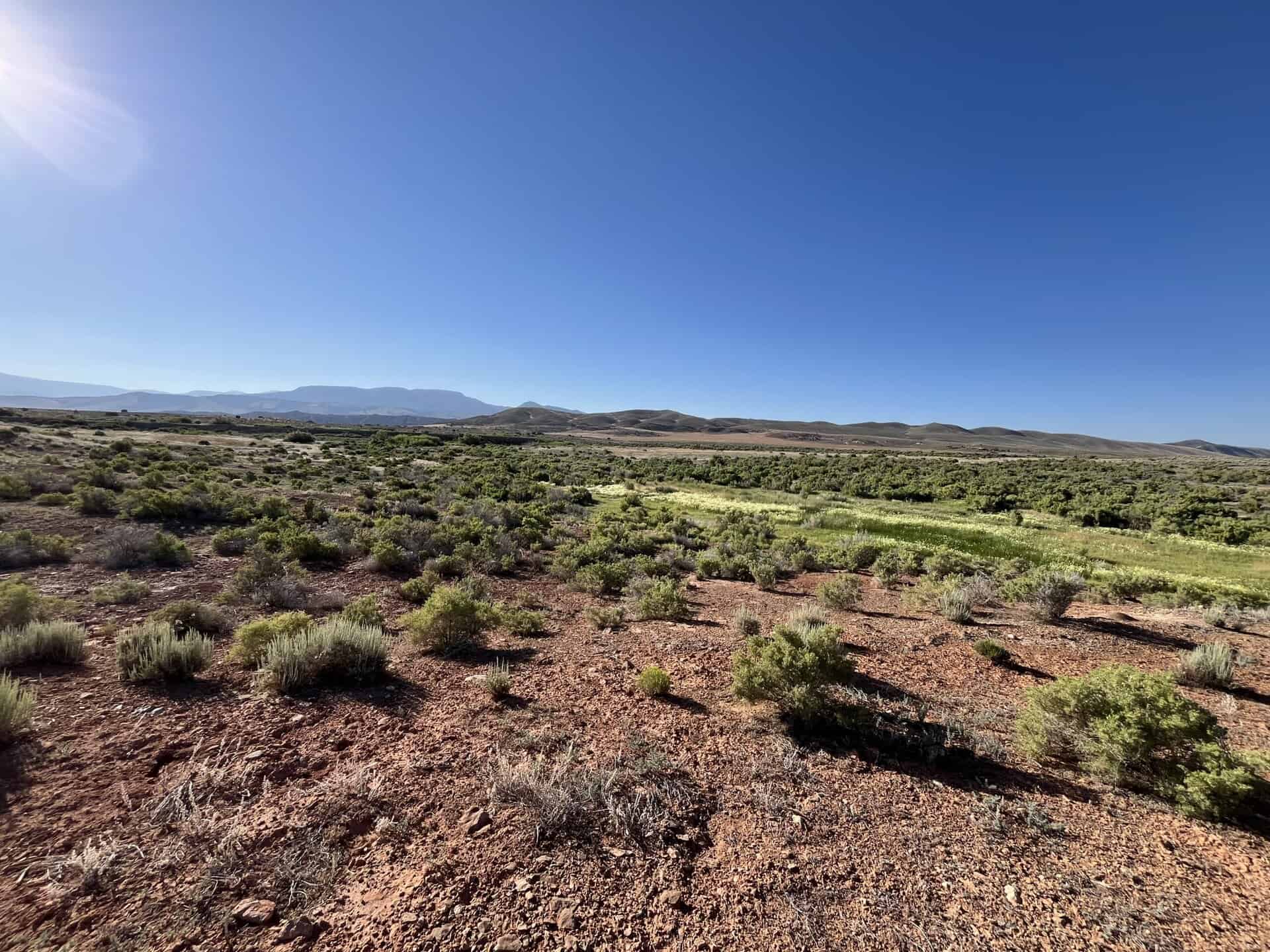
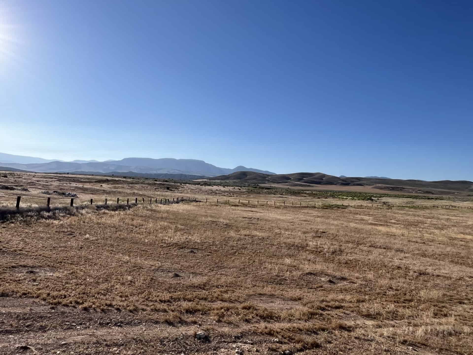
The property is located south of Gunnison and east of Centerfield. The Highland Canal is the eastern boundary of the parcel.
GPS Coordinates (to the center of the property):
-111.78537645, 39.08979263 or 111° 47′ 7.36″ W, 39° 05′ 23.25″ N
Access:
From Highway 89, head East on Factory Lane to County Road 53 (Class D road). Then, head South on County Road 53 to County Road 191. Then, you will cross the canal heading west via the Trust Lands’ road.
Additional Information:
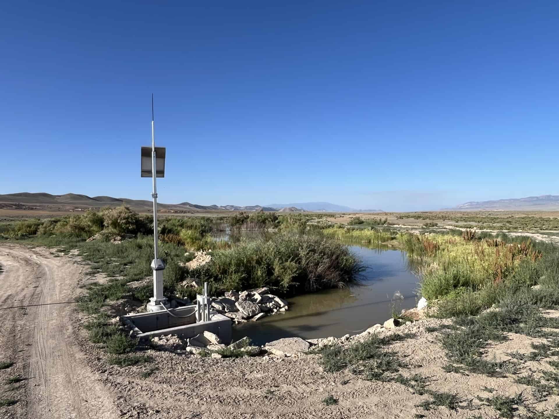
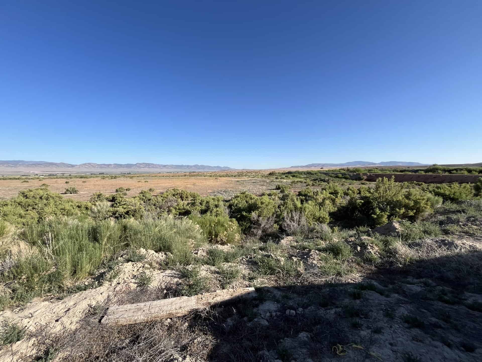
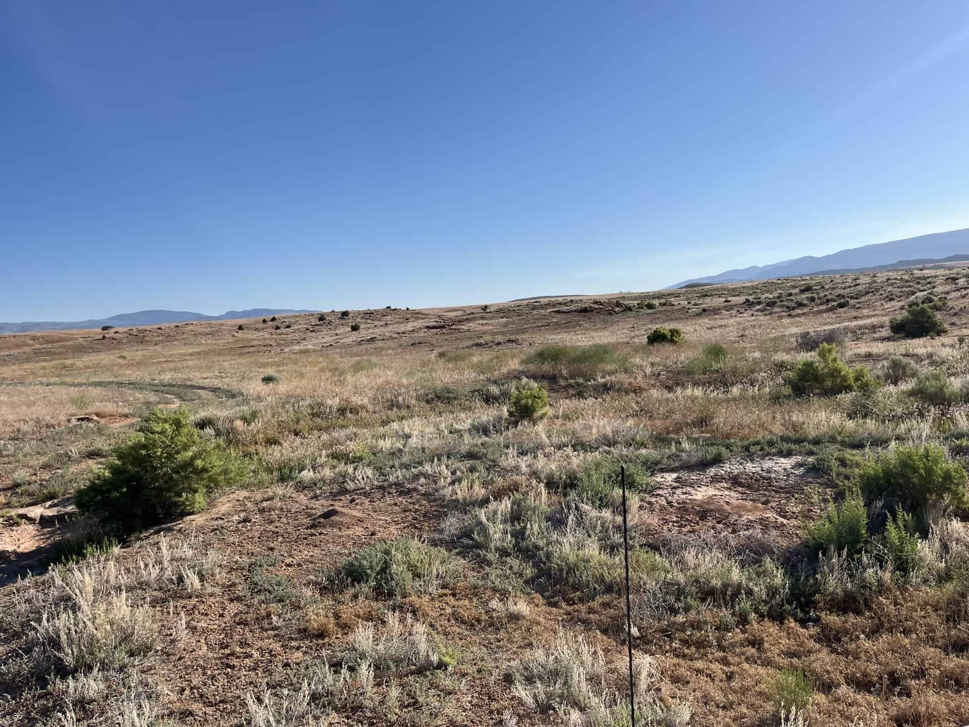
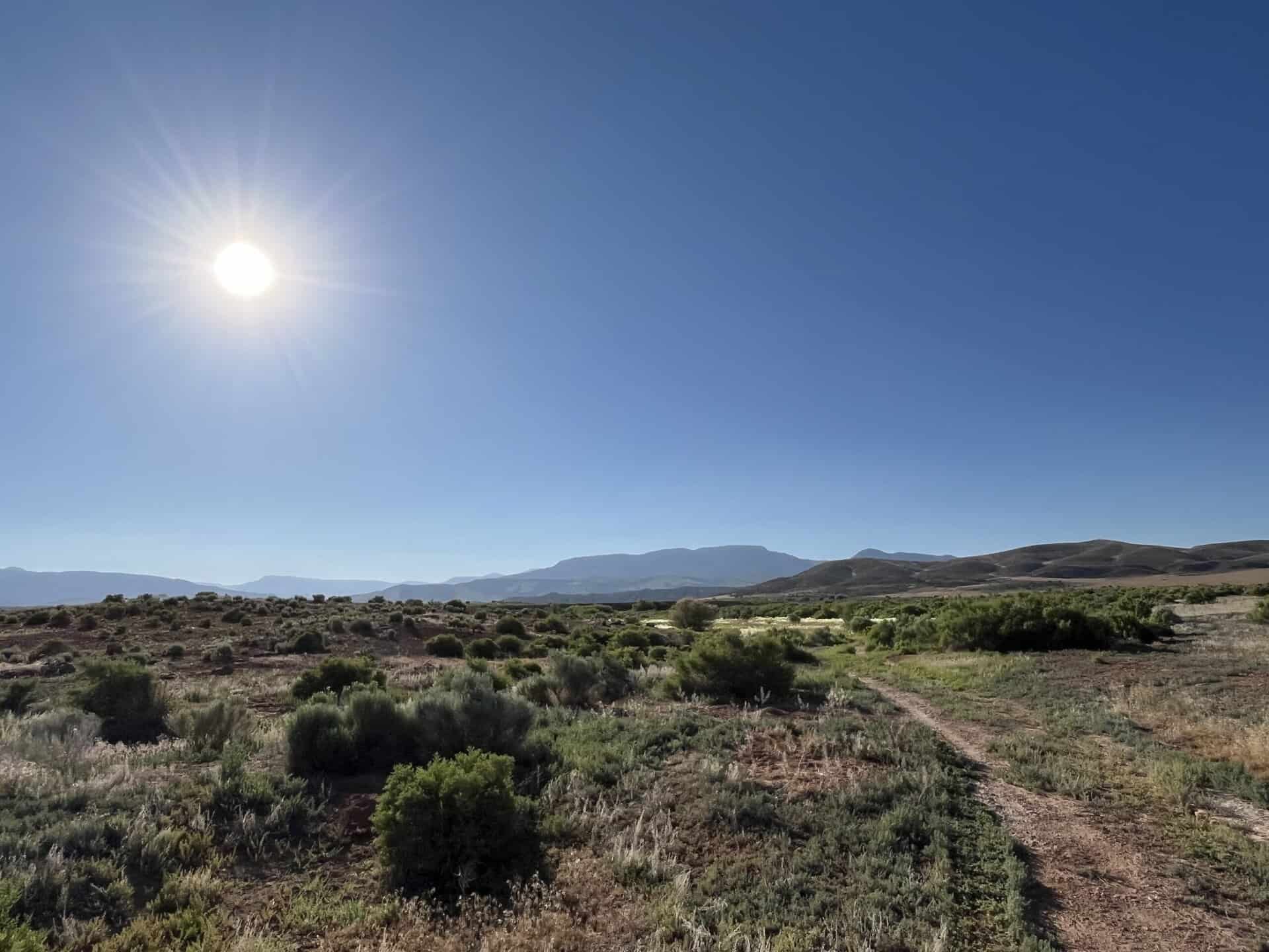
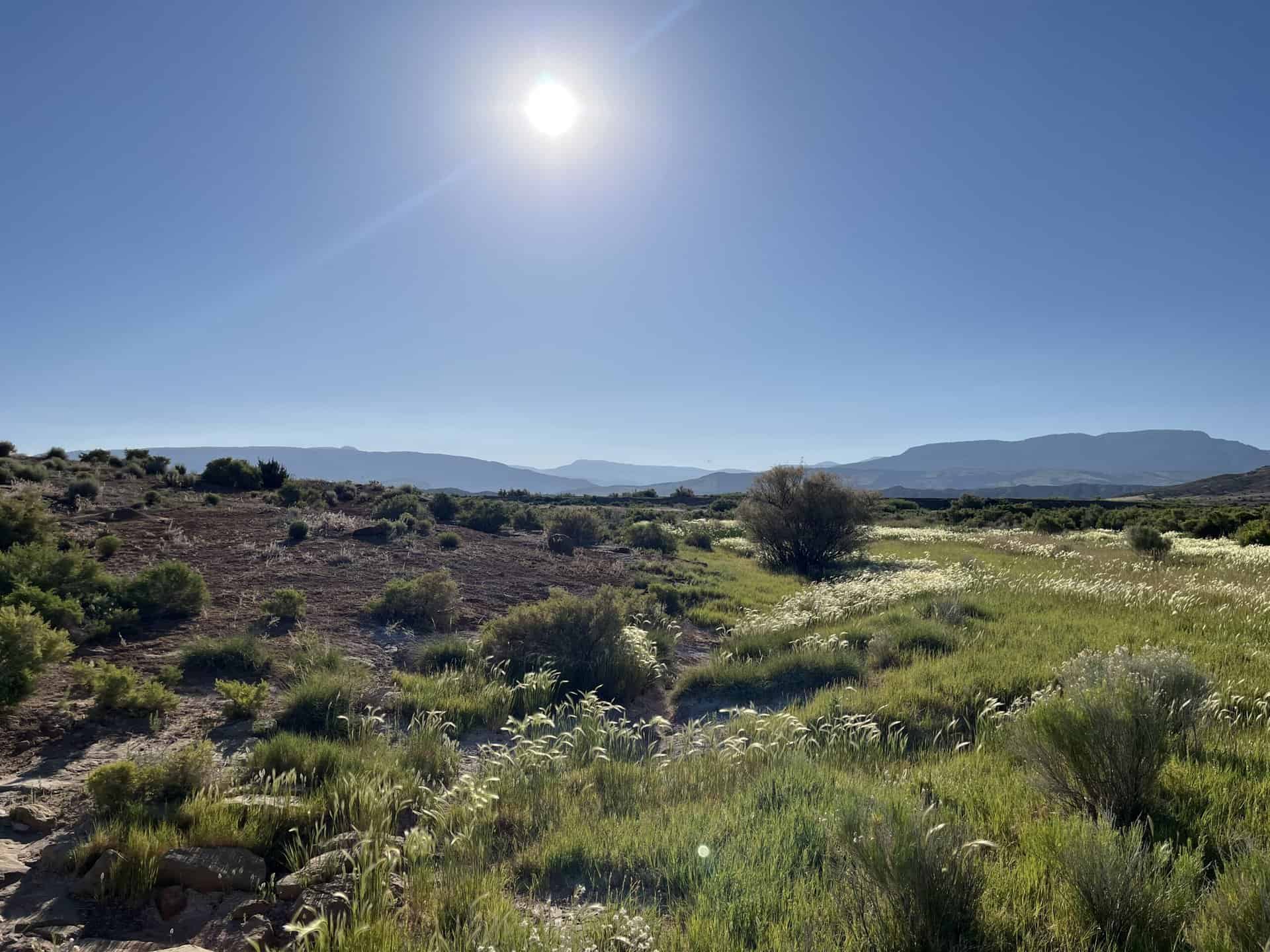
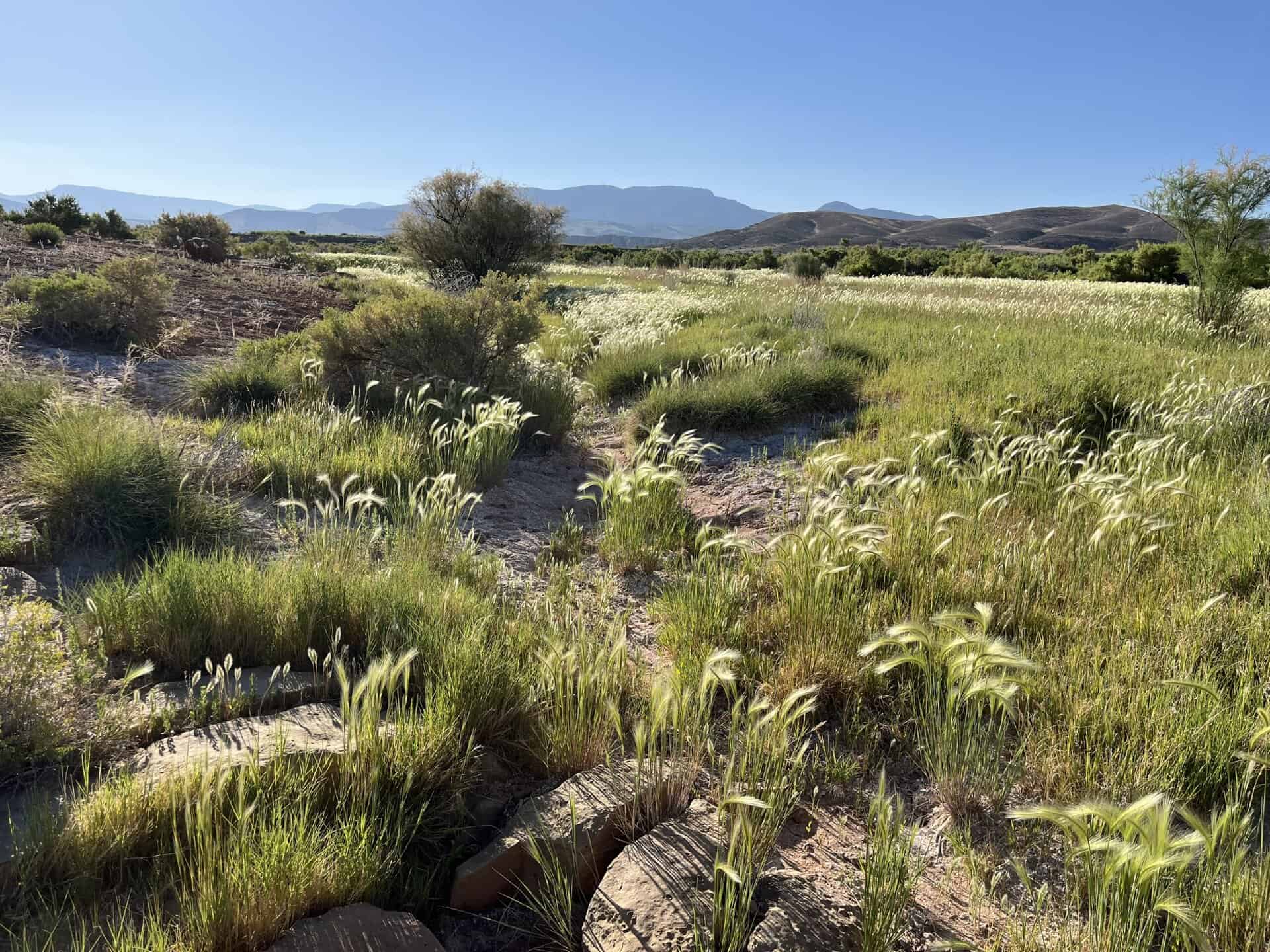
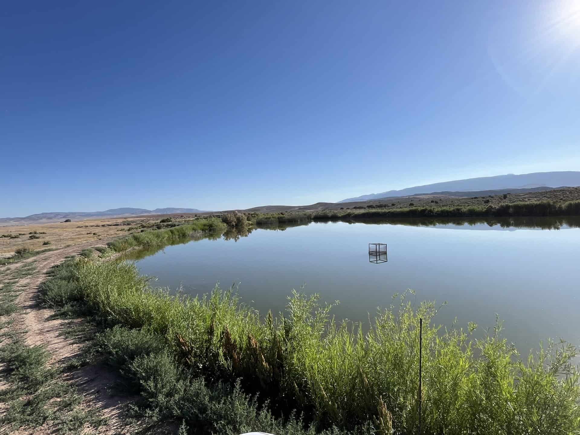
The parcel is bordered by private agricultural lands on three sides with the Highland Canal and Trust Lands bordering on the east side. The canal is the highest point of the parcel. The parcel has a gentle slope from the canal going to the west and offers a good view of the farm fields below. A prominent feature of the property is an irrigation pond which is filled from the Highland Canal.
Acreage:
46.65 acres, more or less
(survey completed)
Water Rights:
No water rights will be conveyed with the property.
Utilities:
No utilities are available on site.
Zoning:
SL – Sensitive Lands
The Sensitive Lands zone has been established to protect and to regulate existing or proposed uses of environmentally sensitive lands within Sanpete County. In general, this zone covers the open portion of the county which is occupied largely by grazing land, mountains, and canyons.
Financing:
Financing will be offered for this parcel at a variable interest rate of prime plus 2.5% or 7.5%, whichever is greater. A down payment of 10% and closing costs will be due at the auction. The remaining balance can be financed for up to a 20 year term.
During the time when the property is being financed (before a patent is issued), the county records will show the property as state trust lands with notices being sent in care of the purchaser. All improvements to the land during the financing period will need approval.
Mineral Lease Encumbrances:
None
Surface Lease Encumbrances:
- Special Use Lease Agreement No. 1655, issued to Keith M. Jensen and Dan Mascaro, with an expiration date of August 31, 2029 (The purchaser of the property will become the lessor of the portion of the lease underlying the sale parcel. This lease contains a cancellation clause stating that the lease can be terminated at the end of each lease year, with 90 days notice. The current annual rental payment for the portion of the lease for the property being conveyed is $480.00.)
- Irrigation water pipelines exist from the pond on the property to neighboring properties. These most-likely qualify as prescriptive rights.
Cultural Resource Covenant:
A historical and cultural resource survey was conducted on this parcel. No significant sites were identified. The property will be sold without any reservations for cultural or historical resources.
Disclosures:
- Please see the disclosure summary and the certificate of sale template document for general disclosures which apply to all parcels being offered for sale at this auction.
- All mineral rights will be reserved.
- The sand and gravel on the parcel will be subject to a royalty provision if sold commercially.
- The property will be conveyed subject to all valid existing rights.

