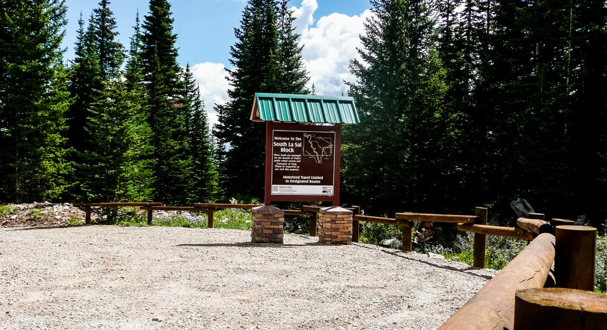
Trust Lands manages two large properties—comprising 27,500 acres—on the east side of the La Sal Mountain Range in Grand and San Juan Counties. In 2008-09 a comprehensive route inventory was conducted which identified a 40% increase in user-created routes over the previous 15 years. Trust Lands undertook a project to develop a comprehensive travel management and recreation plan for these properties in 2010.
Key components of the travel plan included: (1) motorized travel to be allowed on designated routes only, (2) routes to be designated for full-size vehicles, ATVs, and single-track, (3) new routes to be established where necessary and practical, (4) routes what would be closed be fully decommissioned, re-contoured, and rehabilitated, (5) route signage to be installed to mark designated travel routes, (6) information kiosks to be installed at key entrance points, and (7) a travel brochure be available at kiosks with more detailed information.
Trust Lands worked internally to evaluate each travel route and developed a draft travel management plan. We then met with a variety of external stakeholders to review and discuss the draft plan. The final plan designated a total of 134 miles of open routes and was implemented over a period of three years with the installation of kiosks, signage, construction of new routes, and decommissioning of closed routes. The plan has proven to be very successful with high rates of user compliance and minimal ongoing maintenance.

Penstemon Conservation Agreement
A multi-agency Utah conservation team is working to protect two species of penstemon found in the Uinta Basin, Graham’s and White River beardtongue. The team includes representatives from the U.S. Fish and Wildlife Service (USFWS), Utah Public Lands Policy Coordination Office, U.S. Bureau of Land Management, School and Institutional Trust Lands


