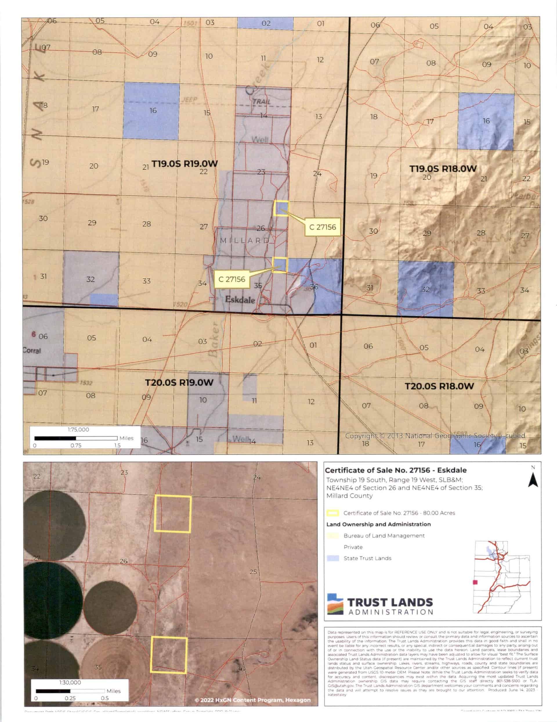
Eskdale (C-27156)
What are trust lands?
Trust lands are parcels of land granted by Congress to Utah at statehood to support specific beneficiaries, including public schools, universities, hospitals, and reservoirs. Trust lands are not public lands, but are generally open for public use, when possible. Trust lands were allocated specifically to generate revenue to support our beneficiaries. SITLA currently manages 3.3 million surface acres on behalf of our beneficiaries.
ONLINE BIDDING INFORMATION:
Bid Start Time for this Parcel: November 8, 2023, Time: 8:30am MST
Bid End Time for this Parcel: November 14, 2023, Time: 10:30am MST
- To register as a bidder or to place a bid, please see box to the right.
CLOSING COSTS:
The closing costs are in addition to the 10% down payment. All closing costs are due from the prevailing bidder at the auction and cannot be financed.
| Appraisal Costs: | $2,400.00 |
| Cultural Resources Survey: | $2,219.32 |
| Legal Advertising Cost: | $252.00 |
| Sale Processing Charge: | $750.00 |
| TOTAL CLOSING COSTS: | $5,621.32 |
Beneficiary:
The net proceeds from the sale of this property will be deposited into the permanent fund for the beneficiary of Public Schools.
Legal Description:
Township 19 South, Range 19West, SLB&M
Section 26: NE¼NE¼
Section 35: NE¼NE¼
Location:
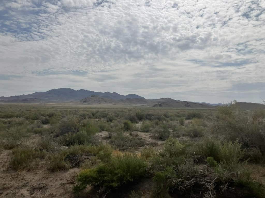
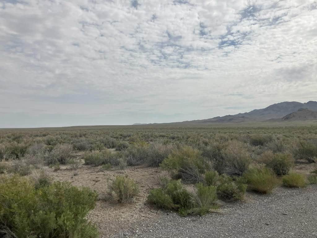
This property is located in western Millard County, north of the small town of Eskdale. The parcels are approximately 5 miles north of State Highway 50 and approximately 5 miles east of the Utah/Nevada state line.
Access:
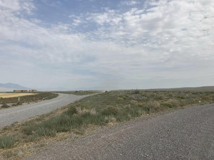
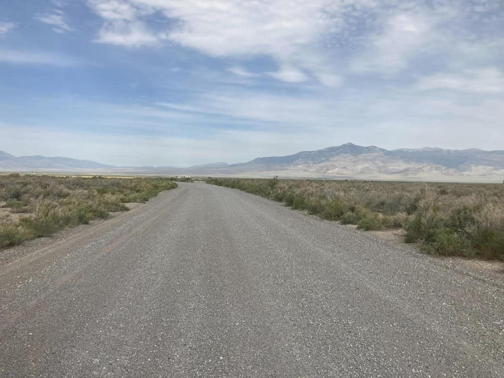
Access is from gravel and dirt county roads. County Road 753 runs through both parcels.
Additional Information:
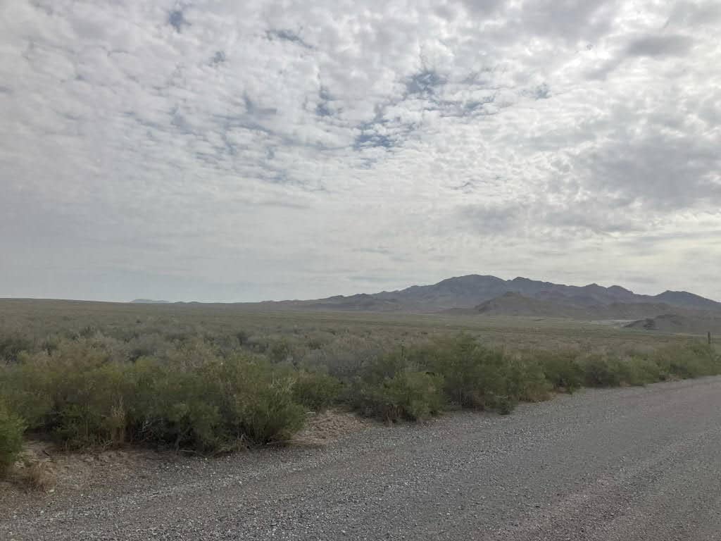
The property has historically been used as open range lands. The topography is mostly level with native grasses and brush.
Acreage:
80.00 acres, more or less
Water Rights:
No water rights will be included with this property.
Utilities:
Power lines are in the nearby vicinity of the parcels.
Zoning:
AG-20 (Agriculture)
Financing:
Financing will be offered for this parcel at a variable interest rate of prime plus 2.5% or 7.5%, whichever is greater. A down payment of 10% and closing costs will be due at the auction. The remaining balance can be financed for up to a 20 year term.
Mineral Lease Encumbrances:
None
Surface Lease Encumbrances:
Grazing Permit No. 96, issued to Baker Ranches, Inc. (these lands will be removed from this permit when the property is sold)
Cultural Resource Covenant:
A cultural and historical resource survey was conducted on this parcel. One significant site was located. The property will be sold with reservations for the site which was identified.
Disclosures:
- Please see the disclosure summary and the certificate of sale template document for general disclosures which apply to all parcels being offered for sale at this auction.
- All mineral rights will be reserved.
- The sand and gravel on the parcel will be subject to a royalty provision if sold commercially.
- The Utah Geological Survey has submitted the following comment: “Potential geologic hazards in the area that could affect the parcels include landslide-prone geologic units and existing landslides including several large complexes mapped on and near the property, rock fall, seasonal stream flooding, flash flooding/debris flow, problem soils and/or bedrock including shrink/swell and/or collapsible, shallow bedrock, and indoor radon potential. Prospective buyers should be aware of the potential hazards so they can be addressed in a manner appropriate to the intended use of the property. UGS has general geologic hazard information available at our offices and online at http://geology.utah.gov/utahgeo/hazards/index.htm.”
- The property will be conveyed subject to all valid existing rights.

