


Echo I-80 Parcel (C-27217) (June 2025)
What are trust lands?
Trust lands are parcels of land granted by Congress to Utah at statehood to support specific beneficiaries, including public schools, universities, hospitals, and reservoirs. Trust lands are not public lands, but are generally open for public use, when possible. Trust lands were allocated specifically to generate revenue to support our beneficiaries. SITLA currently manages 3.3 million surface acres on behalf of our beneficiaries.
ONLINE BIDDING INFORMATION:
To register as a bidder or to place a bid, please see box to the right.
Bid Start Time for this Parcel: Thursday, June 5, 2025 – Time: 10:10am MDT
Bid End Time for this Parcel: Tuesday, June 10, 2025 – Time: 10:10am MDT
CLOSING COSTS:
The closing costs are expenses incurred to prepare the property for sale. A large portion of the costs is for the completion of a cultural resource survey, which is required by law.
These costs are in addition to the 10% down payment. All closing costs are due from the winning bidder within 24 hours after completion of the auction and cannot be financed.
TOTAL CLOSING COSTS FOR THIS PARCEL: $8,852
Beneficiary:
The net proceeds from the sale of this property will be deposited into the permanent fund for the beneficiary of Public Schools.
Legal Description:
Township 4 North, Range 6 East, SLB&M
Section 22: E½, NW¼ (within – less right of way conveyances)
Location:
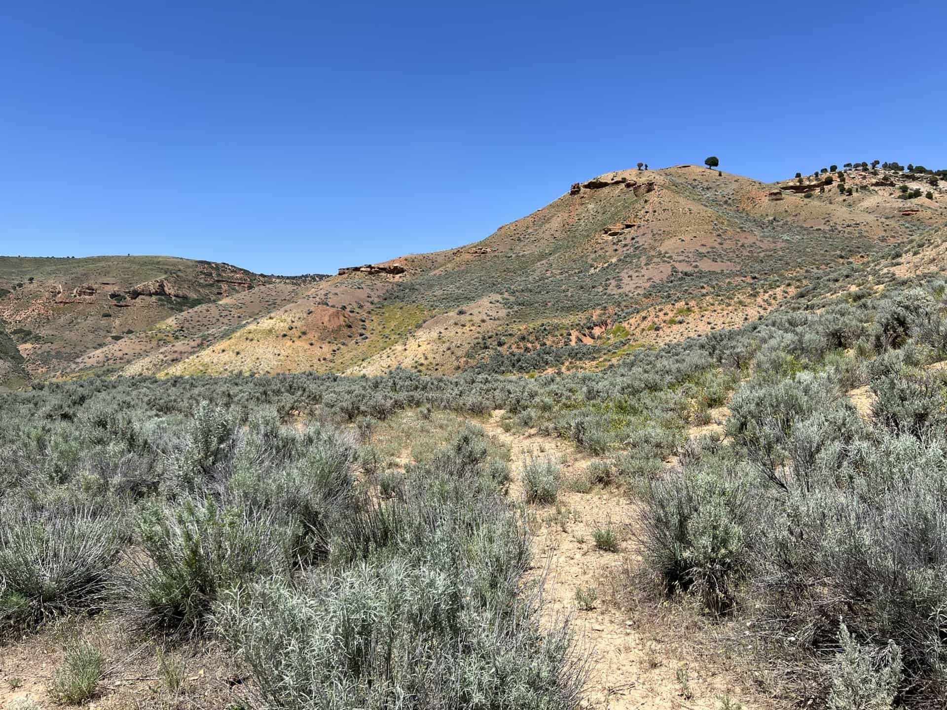
This property is located about 12 miles northeast of Echo Reservoir, on both sides of I-80, at mile marker 179. Evanston, Wyoming is approximately 23 miles northeast of the property.
GPS points to the center of the property: 111°16’37″W, 41°3’56″N
GPS points to the eastern corners of the property: 111°14’53″W, 41°4’17″N and 111°14’54″W, 41°3’25″N
Decimal degree GPS to SW corner: -111.258086, 41.057098
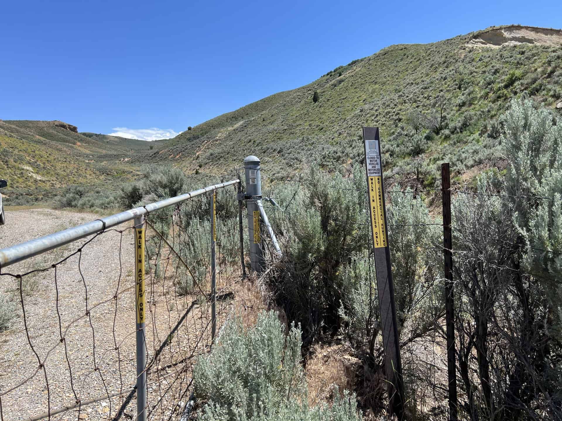
Access:
There is currently no legal access to the property. I-80 cuts through the northwest corner of the parcel. The property was accessed previously from a turn-off area along the highway. This is not a legal access point due to safety concerns from the Utah Department of Transportation.
A small portion in the northwest corner of the property can be accessed from a frontage road along the north side of the highway. The larger portion of the parcel cannot be accessed from the frontage road because of the barriers of the railroad tracks and the highway.
Additional Information:
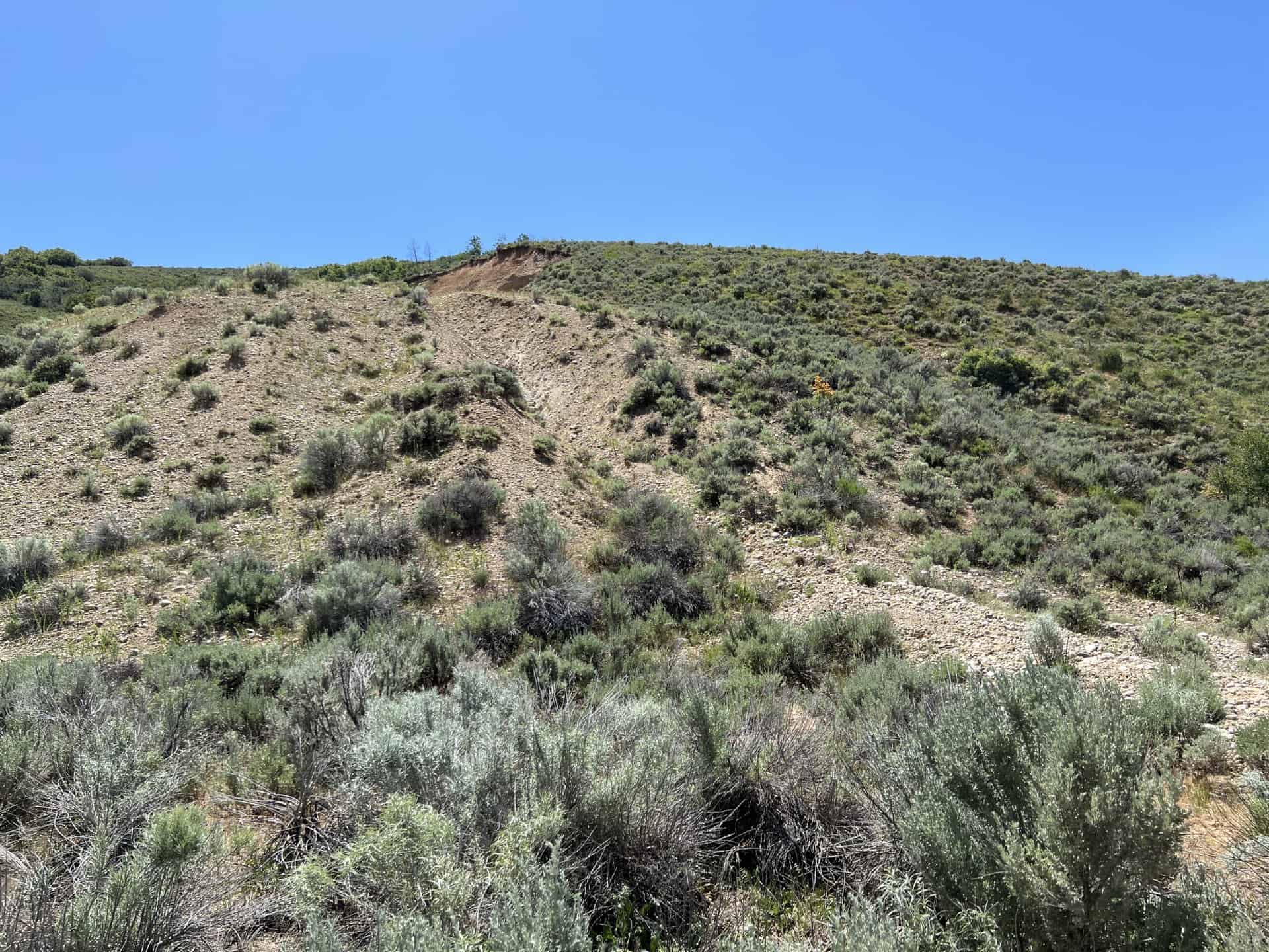
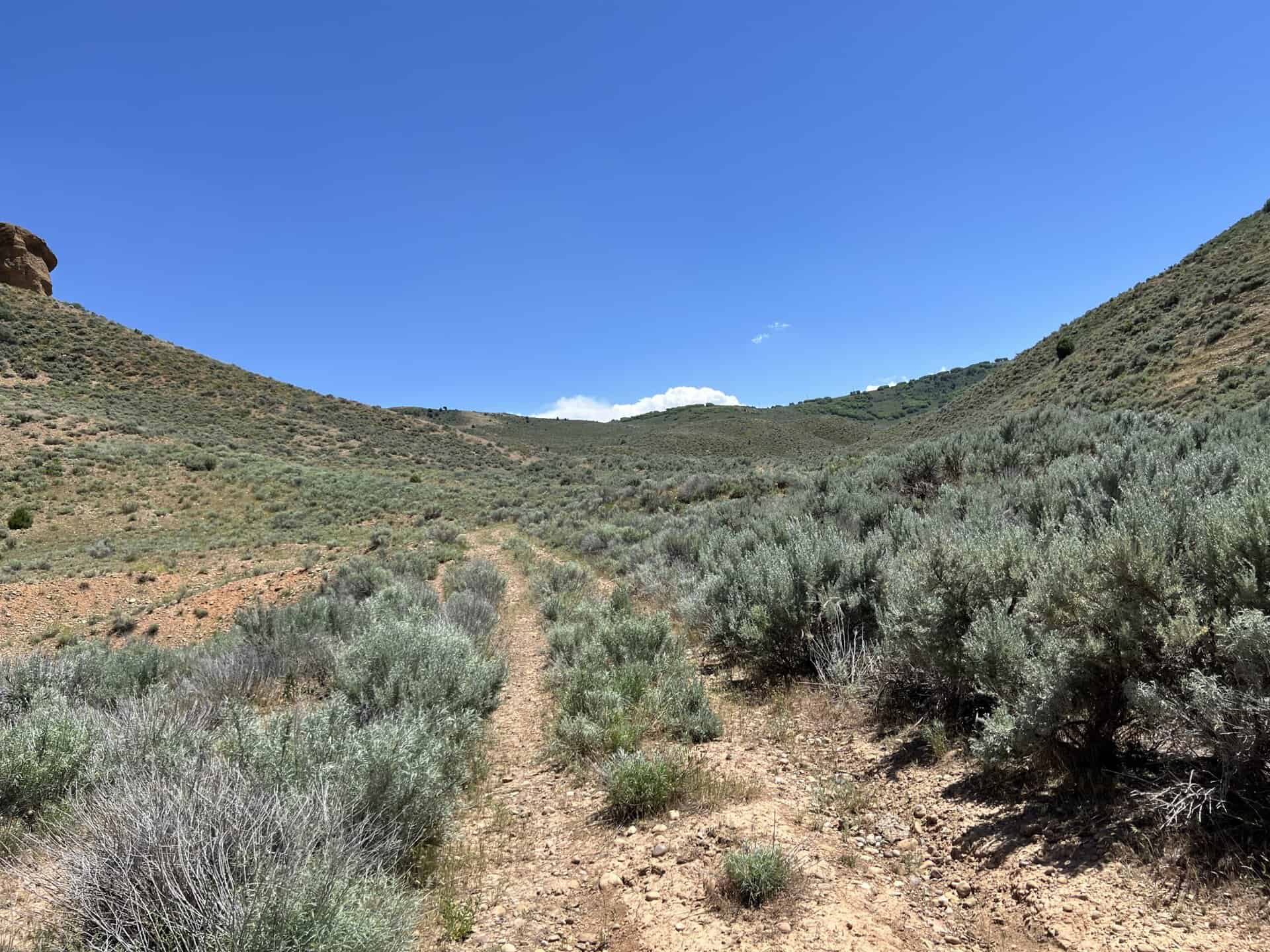
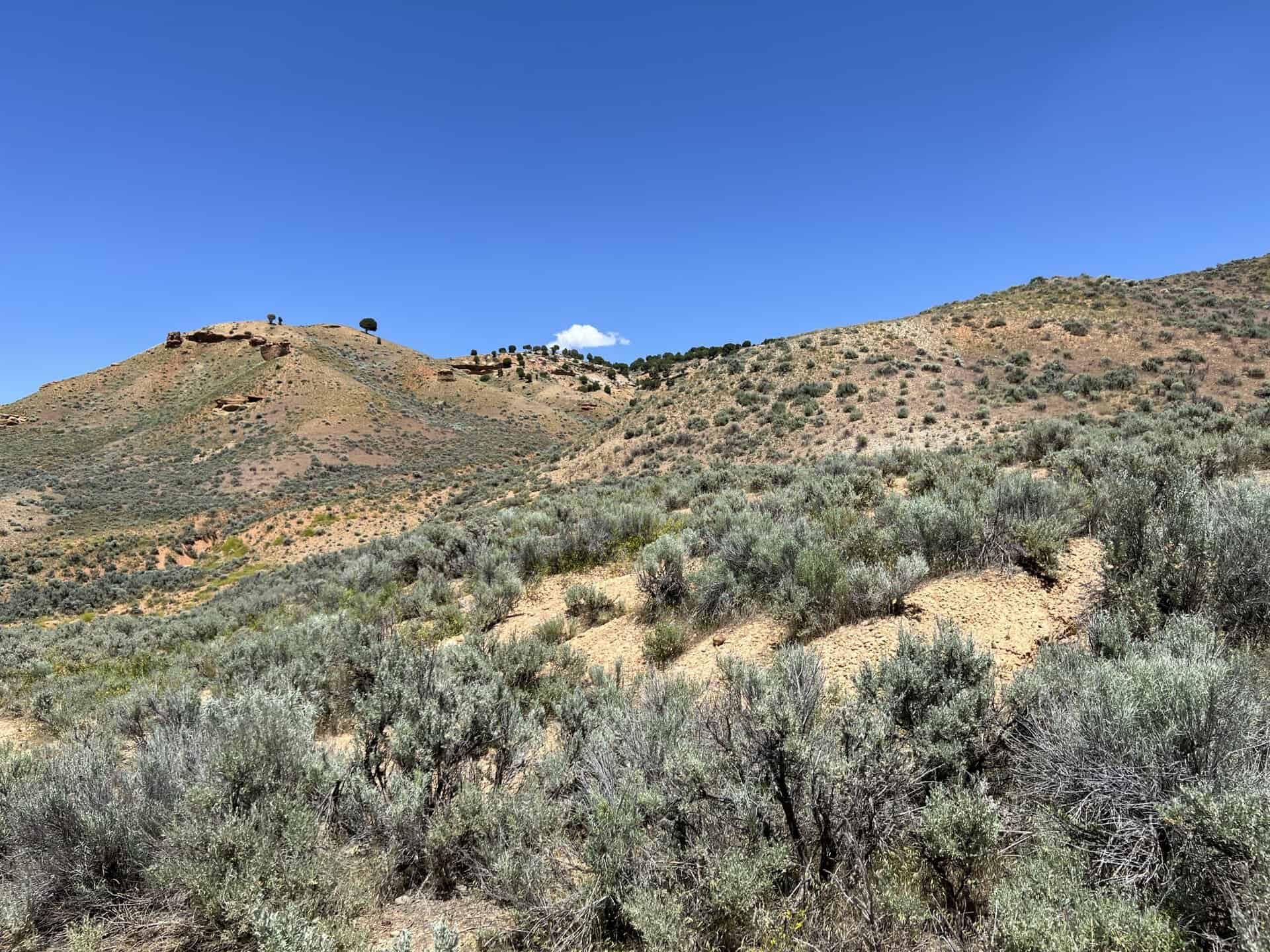
The topography of the property is moderately steep with some level portions. The surrounding lands are all privately owned. The vegetation is mostly natural grasses and sage brush. The parcel has historically been used as open range land.
Acreage:
459.37 acres, more or less
Water Rights:
No water rights are available to be conveyed with the property. A few springs are located on the property. One spring has been developed and runs into a trough and one spring-fed pond exists.
Utilities:
There are no utilities located on site. Power is located nearby.
Zoning:
AG-80 (agriculture and grazing with a 80 acre minimum lot size)
Financing:
Financing will be offered for this parcel at a variable interest rate of prime plus 2.5% or 7.5%, whichever is greater. A down payment of 10% and closing costs will be due at the auction. The remaining balance can be financed for up to a 20 year term.
During the time when the property is being financed (before a patent is issued), the county records will show the property as state trust lands with notices being sent in care of the purchaser. All improvements to the land during the financing period will need approval.
Mineral Lease Encumbrances:
- Mineral Lease No. 54274, issued to Pan Oklahoma Corporation for the SW¼ of this parcel, for oil, gas, and associated hydrocarbon exploration, with an expiration date of August 31, 2027
Surface Lease Encumbrances:
- Right of Way No. 3140, issued to US Telecommunications Inc. for a buried fiber optic communication cable, for a perpetual term
- Grazing Permit No. 21780, issued to Joseph O. Fawcett & Sons Inc. (this permit will be cancelled when this land is sold)
Cultural Resource Covenant:
A historical and cultural resource survey was conducted on this parcel. No significant sites were identified.
Disclosures:
- Please see the disclosure summary and the certificate of sale template document for general disclosures which apply to all parcels being offered for sale at this auction.
- All mineral rights will be reserved.
- The sand and gravel on the parcel will be subject to a royalty provision if sold commercially.
- The property will be conveyed subject to all valid existing rights.

