
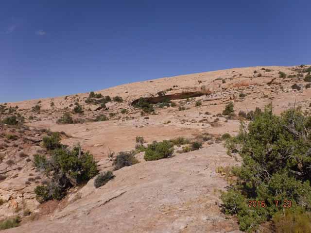
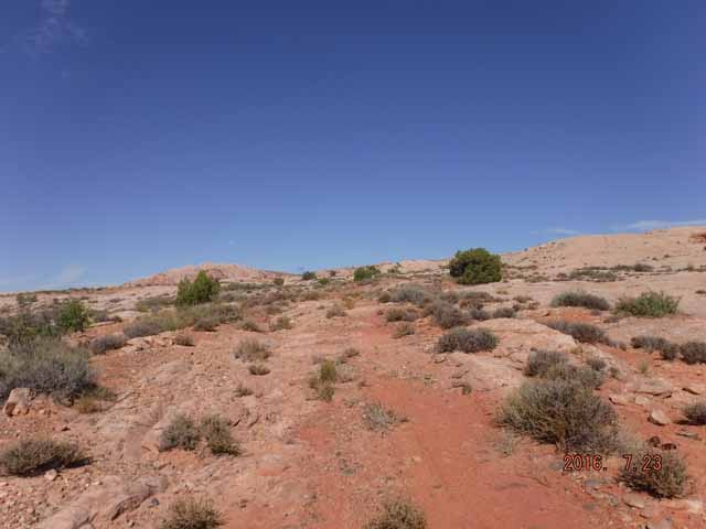
Comb Ridge (PS 8581)
Closing Costs:
These costs cannot be financed and are in addition to the 10% down payment. All closing costs are due from the prevailing bidder at the auction.
| Appraisal Costs: | $2,875.00 |
| Cultural Resources Survey: | $35,500.00 |
| Land Survey Costs: | $1,550.00 |
| Legal Advertising Cost: | $500.00 |
| Sale Processing Charge: | $500.00 |
| Application Fee: | $250.00 |
| TOTAL CLOSING COSTS: | $41,175.00 |
Legal Description:
Township 40 South, Range 20 East, SLB&M
Section 36: Within (See Metes & Bounds)
Location:
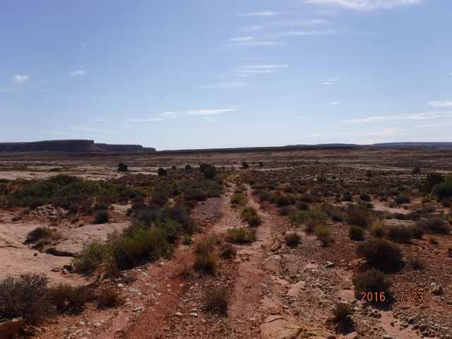
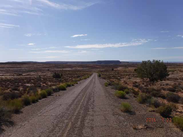
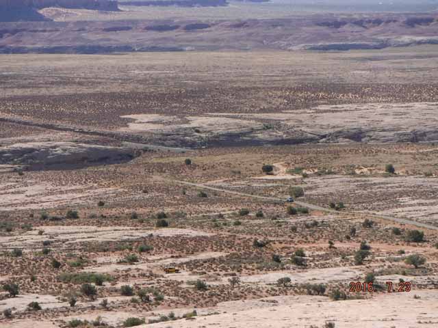
This parcel is located approximately 6 miles west of Bluff, Utah.
Access:
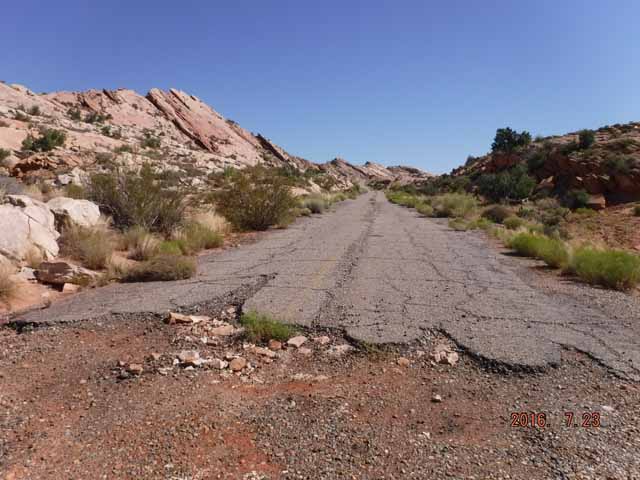
The property is accessible from state highway 163. From Bluff, Utah head west on Highway 163 approximately 6 miles (from the junction with Highway 191).
Other:
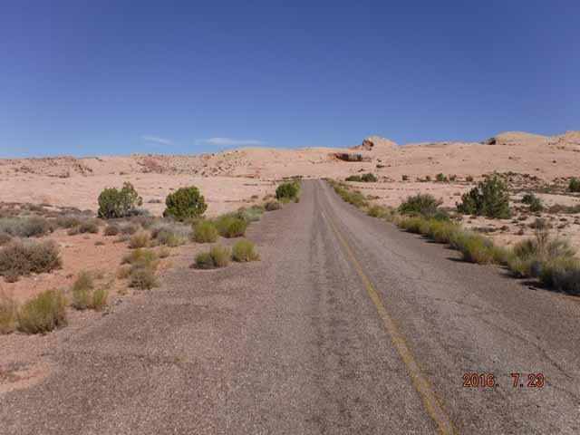
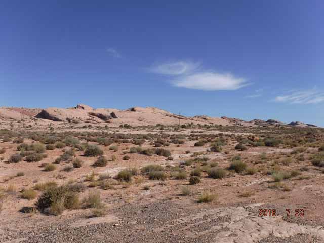
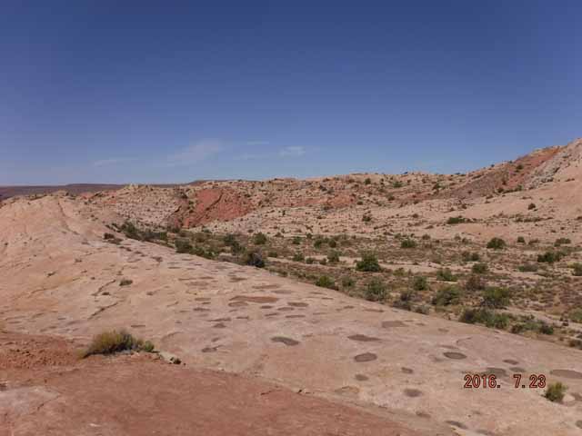
The property sits at an elevation of approximately 4,600 feet and is heavily covered by dense sandstone. Historically, the parcel has been used for grazing. It is bordered by BLM land on all sides with some SITLA land to the south and west.
Acreage:
391.24, more or less (see attachment for exact metes & bounds description and map)
Water:
No water rights have been established on the property.
Utilities:
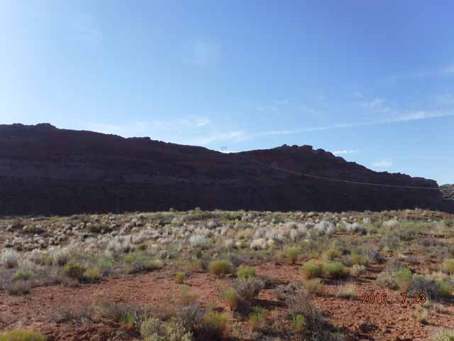
There is a major transmission power line running through the property.
Zoning:
The parcel is zoned A-1 Agricultural.
Financing:
Financing will be offered for this parcel. A down payment of 10% and closing costs will be due at the auction. The remaining balance can be financed at a variable rate of prime plus 2.5% for a 20 year term.
Mineral Leases:
None
Surface Leases:
- Easement No. 1158, issued to PacifiCorp dba Rocky Mountain Power for a power line, with an expiration date of October 22, 2036
- Easement No. 2081, issued to San Juan County for roads for a perpetual term
- Grazing Permit No. 23230, issued to Zane O’Dell for grazing (this property will be deleted from the grazing permit when the sale is finalized)
Disclosures:
- Please see the auction page for general disclosures and auction procedure information which pertains to all properties being offered at the auction.
- The property will be conveyed subject to all valid existing rights.
- A cultural resource survey was conducted on the subject property. Some significant sites were located. The property will be sold subject to the site(s) which were identified.
- All minerals, including the sand and gravel are reserved to Trust Lands Administration.
-
Potential geologic hazards in the region that could affect the prope1iy include flash flooding/debris flow, shallow bedrock and/or groundwater, problem soils including caliche, shrink/swell and/or collapsible, rockfall, wind-blown sand, and moderate to high indoor radon potential. Prospective buyers should be aware of the potential hazards so they can be addressed in a manner appropriate to the intended use of the prope1iy. Geologic hazards are best addressed early in the land-use planning process prior to development and construction. General geologic hazard information is available at the UGS offices and online at http://geology.utah.gov/utahgeo/
hazards/index.htm. - Other disclosures, if any, will be announced at the auction.

